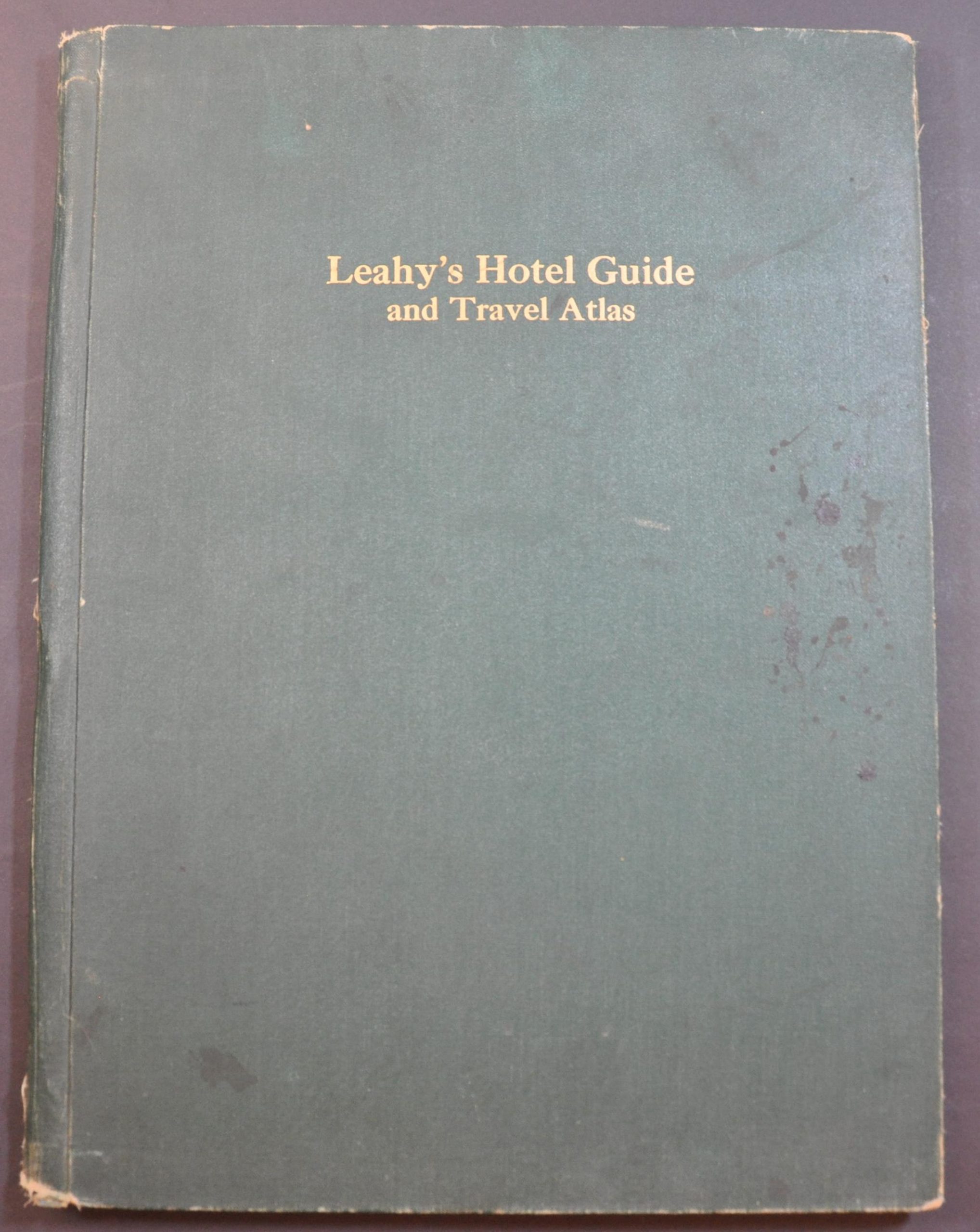
Leahy’s Hotel Guide and Travel Atlas
$75.00
Wartime travel planning across the United States.
1 in stock


Description
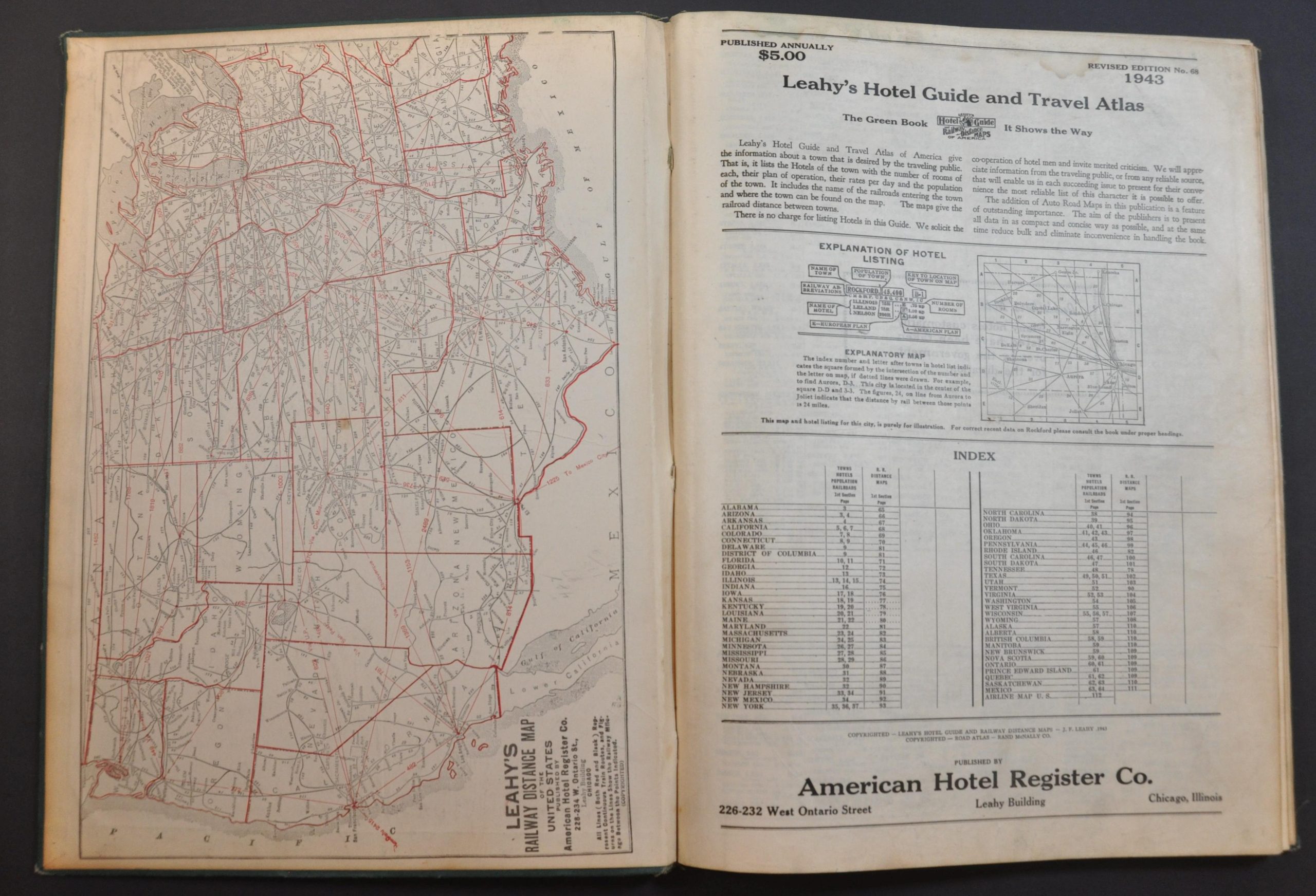
“Leahy’s Hotel Guide and Travel Atlas of America give the information about a town that is desired by the traveling public. That is, it lists the Hotels of the town with the number of rooms of each, their plan of operation, their rates per day and the population of the town. It includes the name of the railroads entering the town and where the town can be found on the map.” [Title Page]
This interesting WWII-era atlas and travel guide was compiled by J.F. Leahy and published in Chicago by the American Hotel Register Company in 1943. It’s comprised of primarily three parts. The first (about 60 pages) presents a comprehensive index of the towns and cities of each state, with information on the available accommodations and their rates. A publisher’s note states “many hotels customarily listed have been taken over by the government for the duration” [of the war].
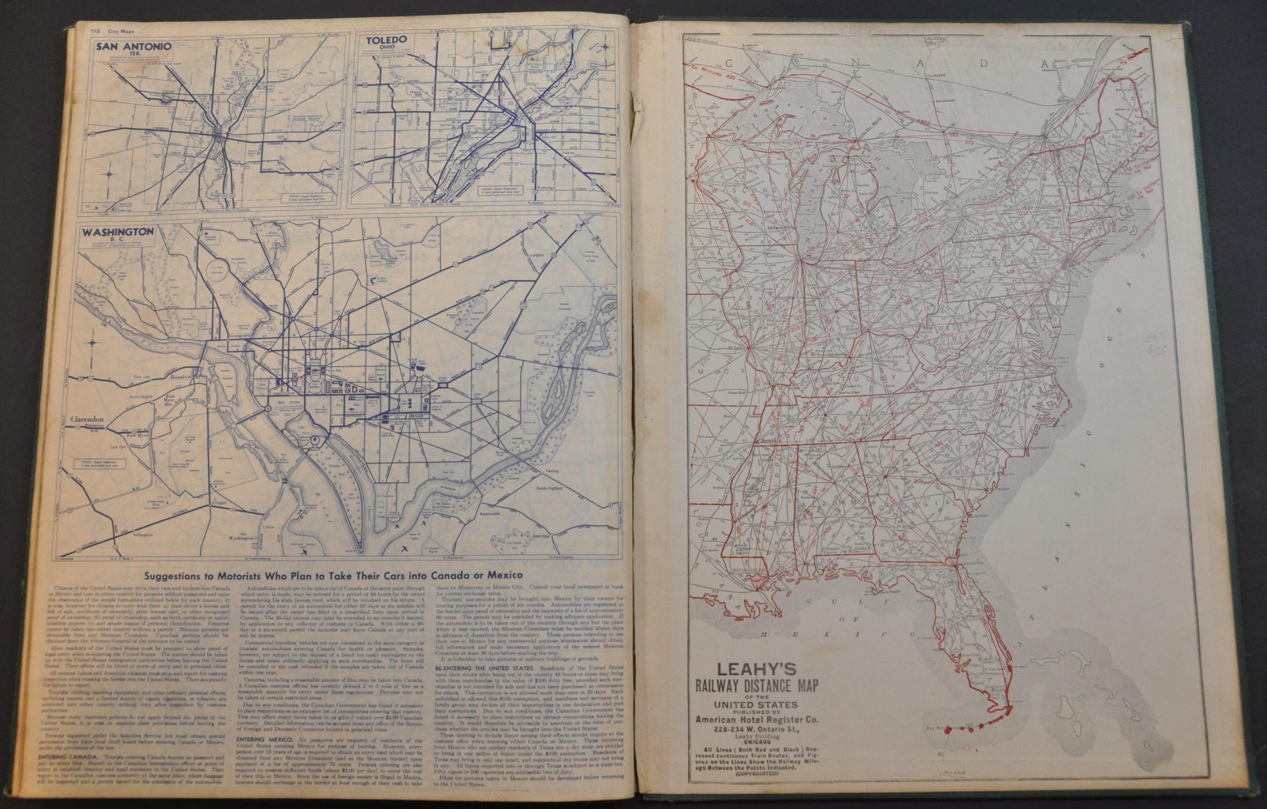
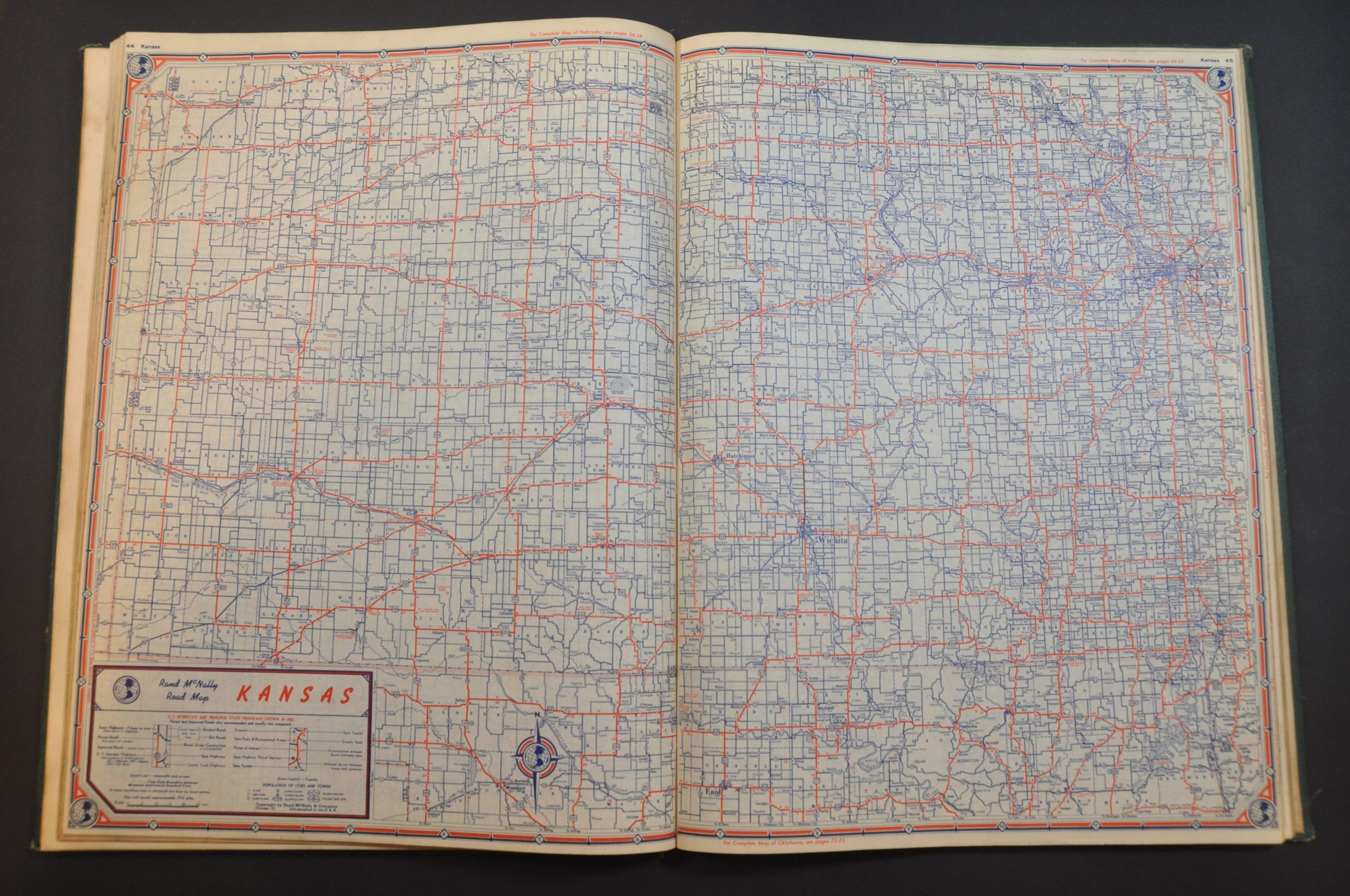
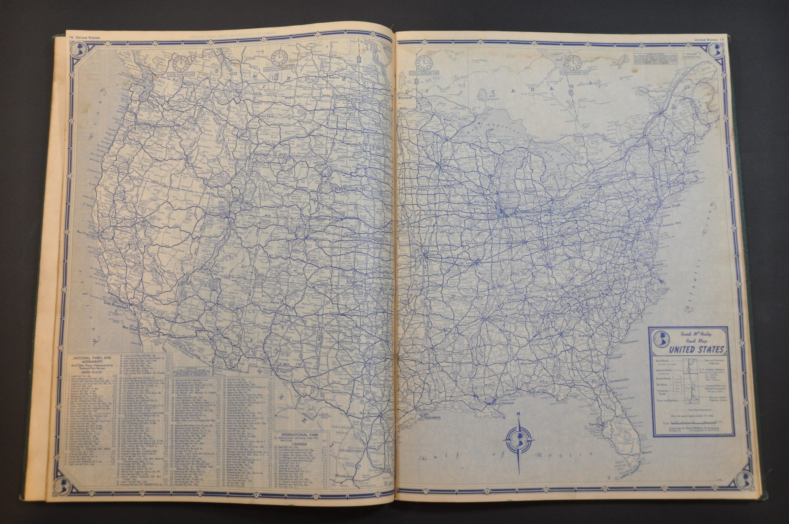
The index is followed by approximately 50 diagrammatic maps that show the railroads in operation across each state. Distances between points, likely those referenced in the aforementioned lists, are noted. The atlas concludes with a 1942 Rand McNally Road Atlas of the United States.
Map Details
Publication Date: 1943
Author: J.F. Leahy
Sheet Width (in): 11.5
Sheet Height (in): 15.75
Condition: B+
Condition Description: 112 pp. atlas abound with staples to original green cloth covered boards. Covers show moderate scattered and the spine is somewhat worn. Contents are generally in good condition, with some light damp staining across the first few pages that do not affect any maps. Good to very good condition overall.
$75.00
1 in stock