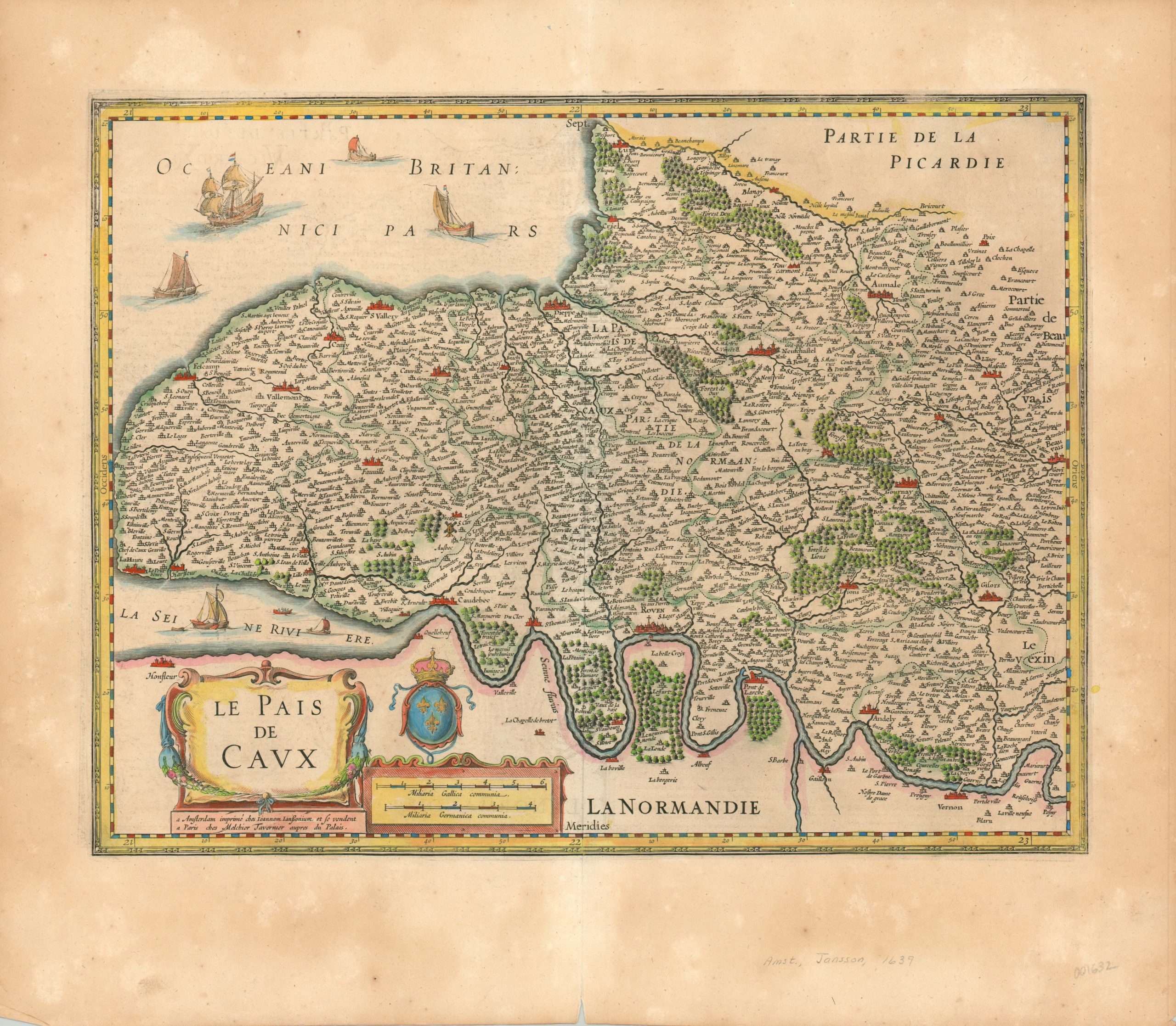
Le Pais de Caux
$200.00
Charming map of the French region of Pais de Caux, on the north coast.
1 in stock
Description
This lovely copperplate engraved map was published in Amsterdam by Jan Jansson in 1639. It shows the region of Paix de Caux on France’s northern coast, separated from adjacent Normandy by the mighty Seine. The river, and its estuary, can be seen meandering along the bottom of the sheet. Forests are depicted pictorially, but topographic detail appears totally absent.
The map is filled with a mass of place names representing a wide variety of chateaus, villages, abbeys, towns, and cities. In the last category, Rouen, La Havre, Dieppe and Neufchatel are particularly notable. Sailing ships ranging in size from fishing vessels to ships of the line can be seen plying the waters, reflecting the close relationship between the region and the sea.
Map Details
Publication Date: 1639
Author: Jan Jansson
Sheet Width (in): 23.25
Sheet Height (in): 20.10
Condition: B+
Condition Description: The sheet is moderately toned, consistent with age, and shows several areas where the margins have lightened somewhat. A bit of see through from text on verso and a few small spots near the title cartouche. Very good condition overall, with attractive hand color.
$200.00
1 in stock

