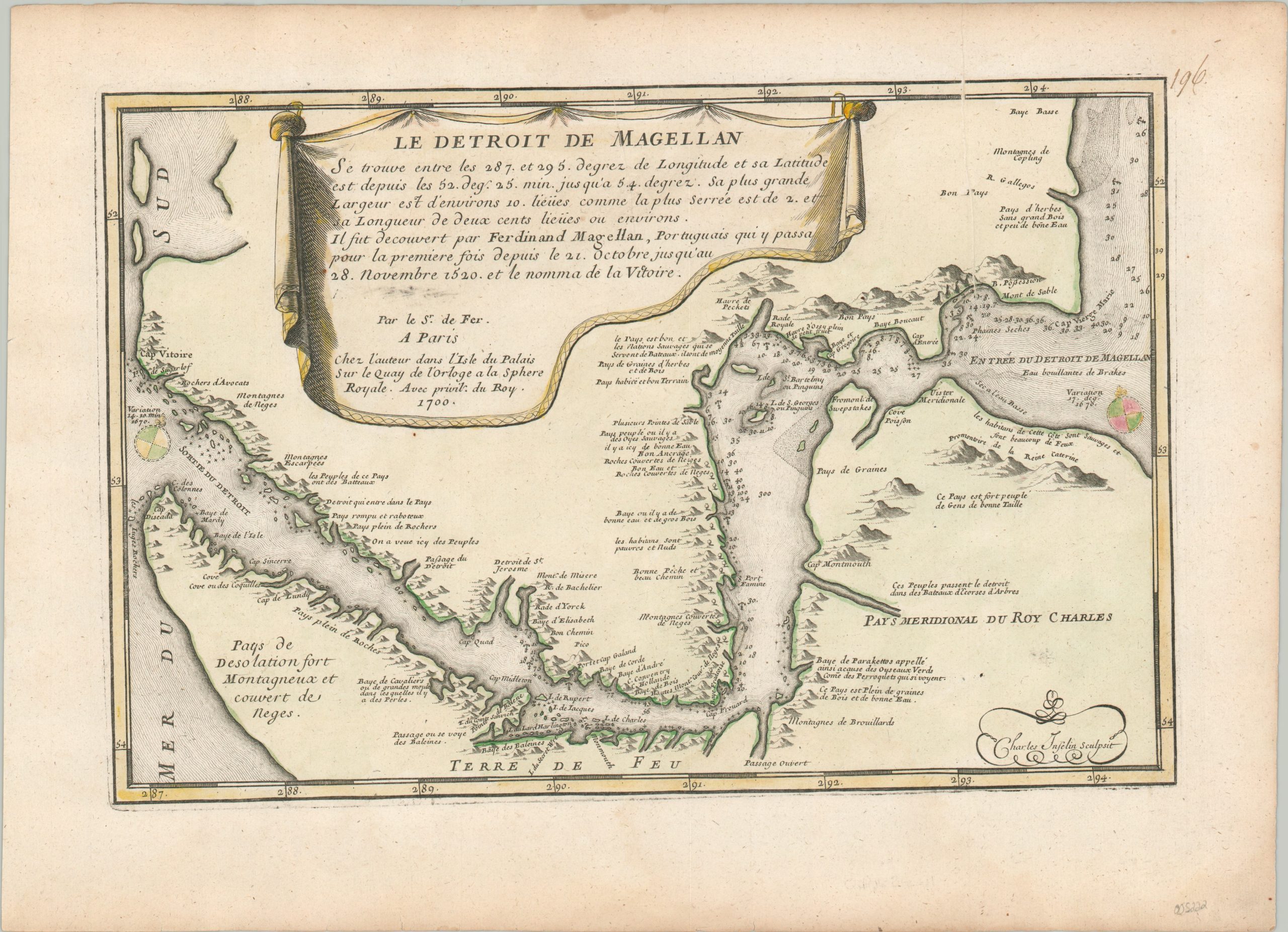
Le Detroit de Magellan
$125.00
Fine French map of the Strait of Magellan from 1700.
1 in stock
Description
This attractively engraved map shows the famous route across the southern tip of South America, popularly known as the Strait of Magellan after the first European who successfully traversed its waters in 1520. The entrance is labeled on the right side of the page, with numerous depth soundings and place names identified throughout the approximately 350-mile waterway. Topography is depicted pictorially and several annotations reference indigenous populations or geographic features.
The map was engraved by Charles Inselin and published in Paris by Nicholas de Fer in 1700. Just four years prior, the first French voyage to travel through the Strait of Magellan was led by Jean-Baptiste de Gennes.
Map Details
Publication Date: 1700
Author: Nicholas de Fer
Sheet Width (in): 16
Sheet Height (in): 11.4
Condition: A-
Condition Description: Printer's crease, about 5" long, in the upper right corner. Some scattered soiling visible in the margins and discoloration from the plate strike in the title cartouche. Attractive hand color, somewhat faded. Very good condition overall.
$125.00
1 in stock

