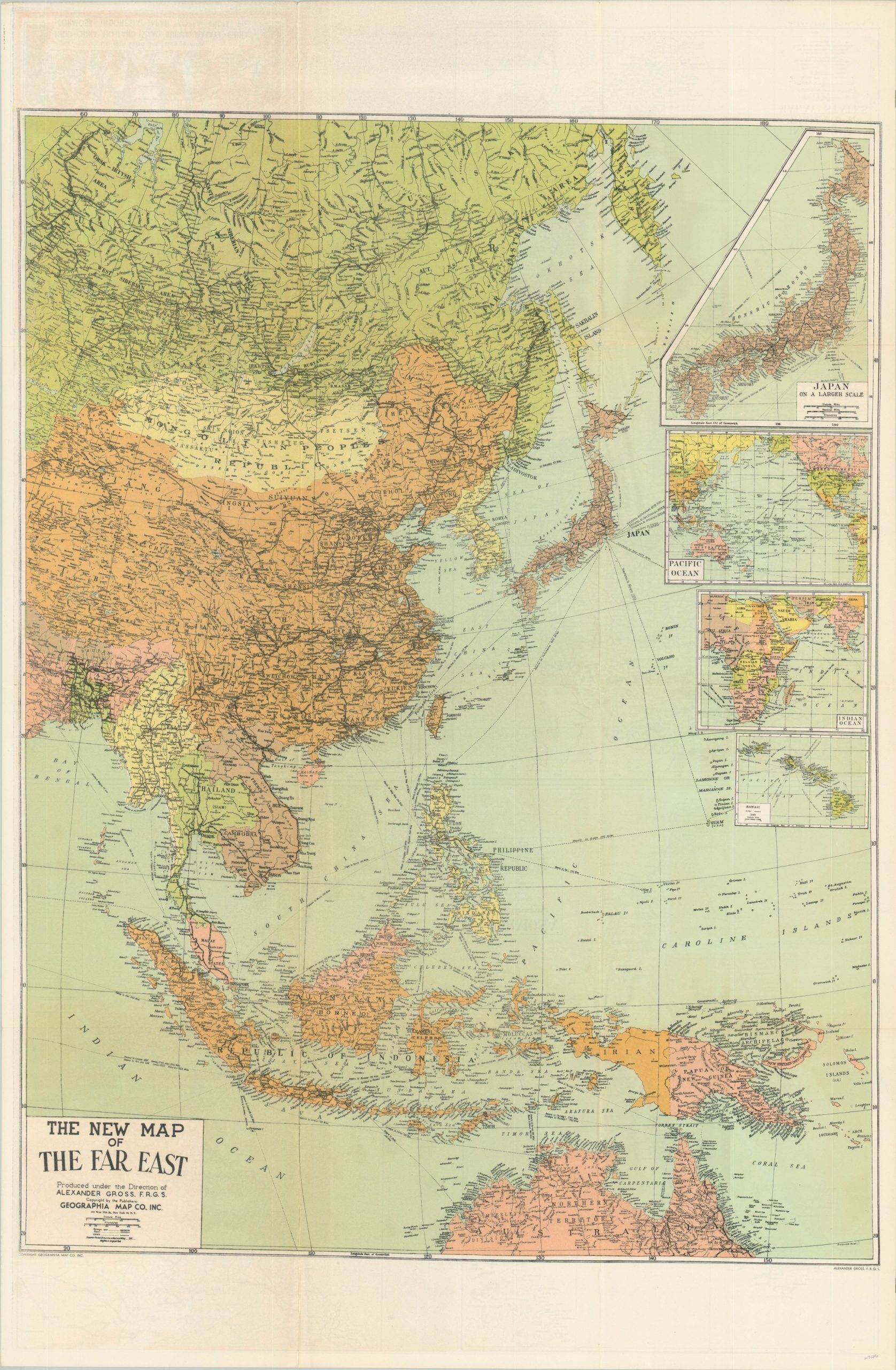
Large Scale Map of the Far East
Showing the broader picture during the Korean War.
Out of stock
Description
This informative map of eastern Asia was published in New York City by the Geographia Publishing Company around 1951, based on Libya’s independence in Africa. During the early days of the Korean War, much of the American public was uninformed about the geography of the region, and this map is one of many contemporary examples that were issued to educate the masses.
Political borders are highlighted in vibrant colors while place names, geographic features, and regional labels are listed throughout. Inset maps show the Pacific and Indian Oceans, Hawaii, and Japan, while the verso presents similar maps of Formosa (Taiwan), Korea, Burma, and the Malay Peninsula.
Map Details
Publication Date: c. 1951
Author: Geographia Map Company
Sheet Width (in): 26.60
Sheet Height (in): 40.75
Condition: A-
Condition Description: Creased along originally issued fold lines and about 3" of separation along fold lines has been repaired on the verso with archival tape. A bit of faint offsetting visible in the image and margins, but overall in very good condition.
Out of stock


