
Large Print Map of the Far East
$145.00
An engaging post war map of Asia and the Pacific.
1 in stock
Description
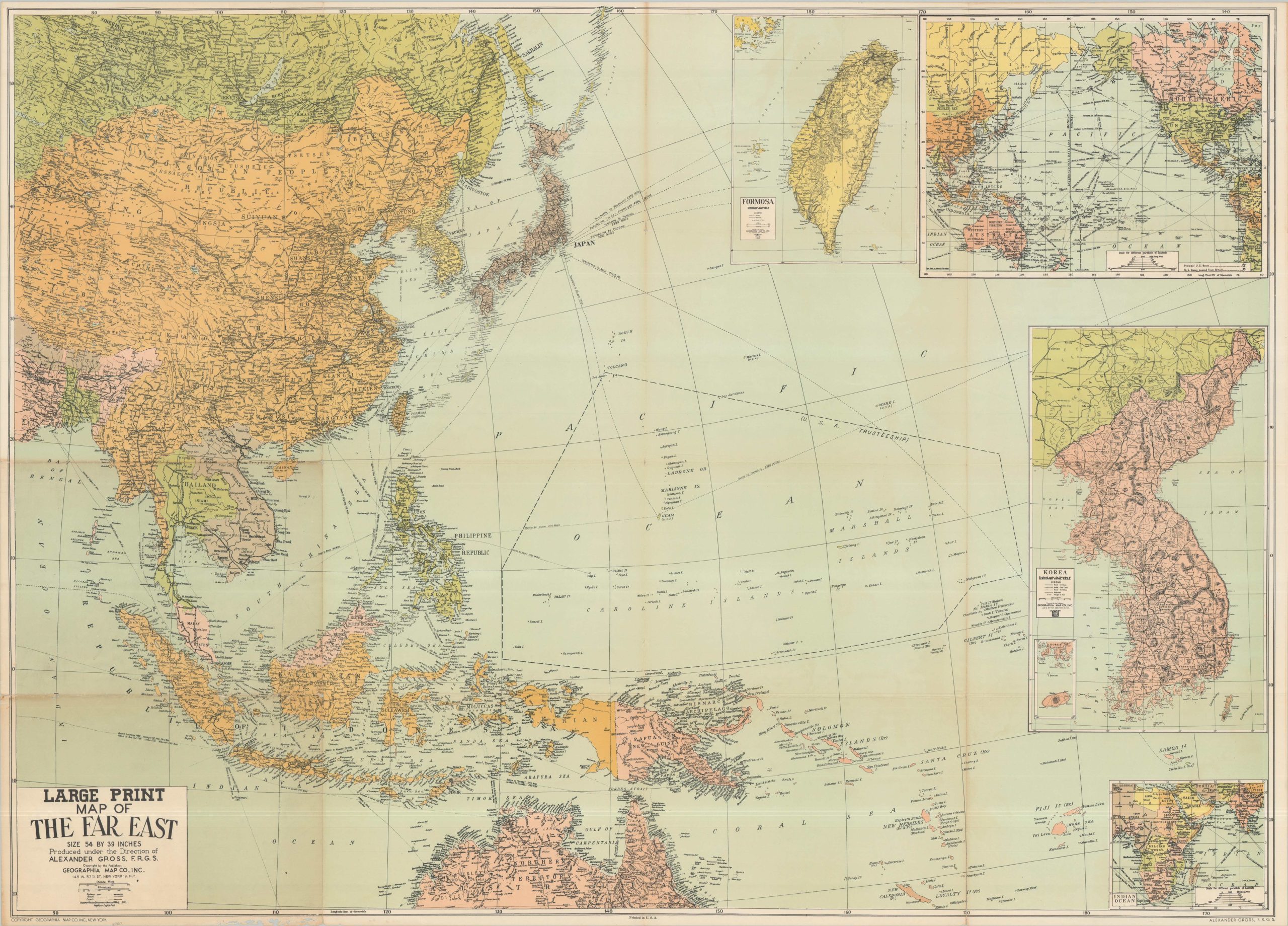
The large and colorful wall map was compiled under the direction of geographer Alexander Gross and published in New York by the Geographia Map Company, Inc. Though undated, the constantly fluctuating borders in the years following World War II offer numerous clues.
A unified Korea, seen in an inset (center right), likely predates the 1948 establishment of the Republic of Korea, which led to the division of the Peninsula. However, the presentation of Formosa as a separate entity (upper right), shows the map may have been issued after the government of the Republic of China retreated to the island (1949). The Republics of Indonesia and the Philippines assert their independence, but Vietnam continues its fight with the French occupation in the First Indochina War.
Map Details
Publication Date: c. 1948
Author: Alexander Gross
Sheet Width (in): 54.00
Sheet Height (in): 39.00
Condition: B
Condition Description: Color lithographed map on a single sheet, moderately worn along old folds including spots of separation at fold joints, moderate toning, and sharp creasing. A bit of worming in the lower left margin does not affect the image. About good condition overall.
$145.00
1 in stock