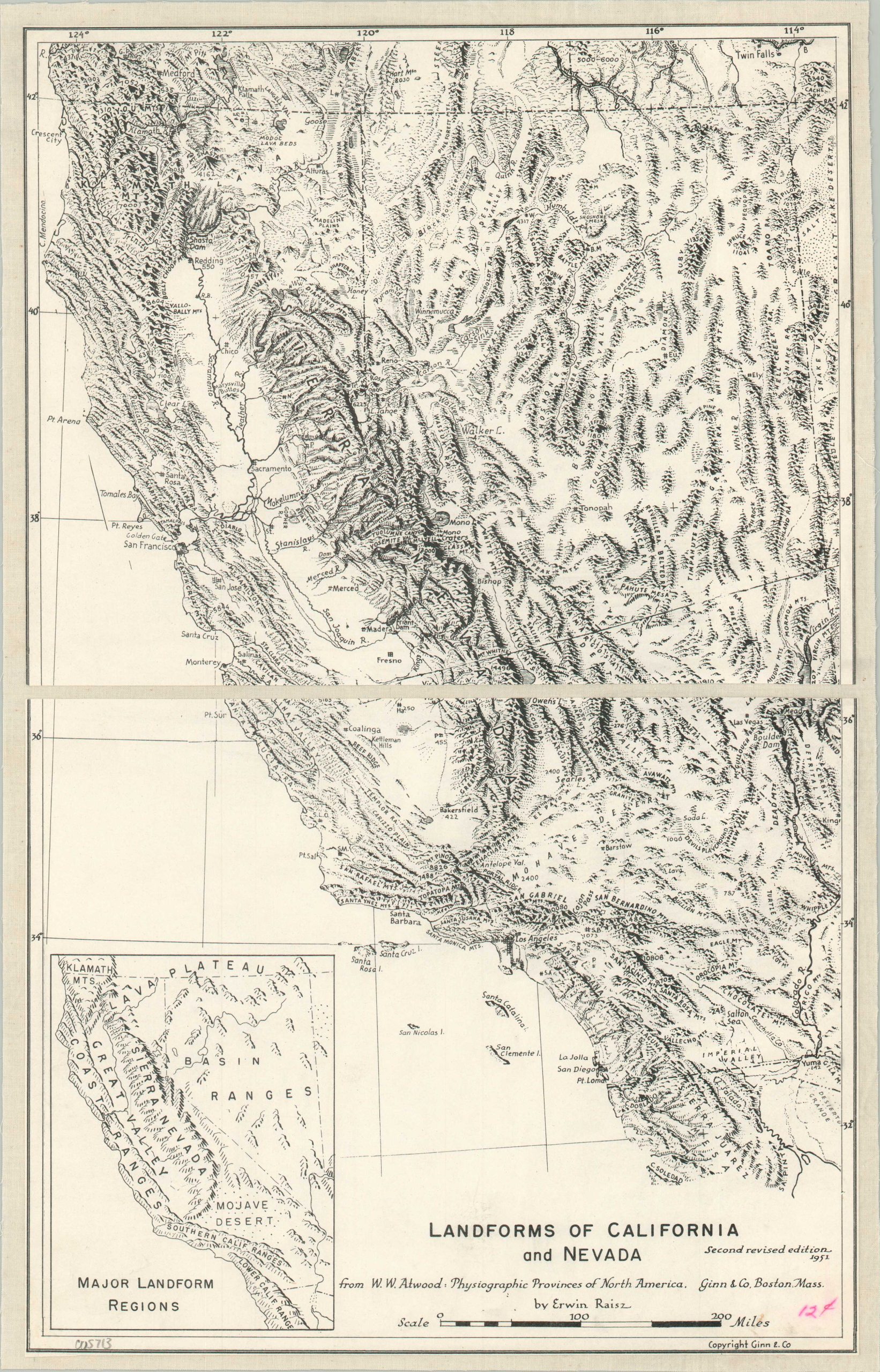
Landforms of California and Nevada
$60.00
An incredible visualization of California and Nevada’s topography.
1 in stock
Description
This spectacular illustrated representation of California and Nevada was originally designed by Erwin Raisz for inclusion in W.W. Atwood’s ‘Physiographic Provinces of North America.’ This is a nice example of the second revised edition, published in Boston by Guinn & Company.
Originally drawn by hand with pen and ink, the image offers a unique perspective on the physical geography of the two western states. Exaggerated landforms are skillfully illustrated, with numerous geographic features and geologic formations labeled. An inset map in the lower left shows the major landform regions, which include diverse areas like the Coast Ranges, Mojave Desert, Sierra Nevada, and Klamath Mountains.
Erwin Raisz (1893-1968) was a highly influential cartographer and geographic educator renowned for his significant contributions to the field. Born in Hungary, he immigrated to New York after serving in World War I, where he obtained his Ph.D. from Columbia University. He was a teacher and curator of the map collection at Harvard University for over 20 years.
Map Details
Publication Date: 1951
Author: Erwin Raisz
Sheet Width (in): 10.5
Sheet Height (in): 16.75
Condition: A
Condition Description: Sheet dissected in half and mounted onto a sheet of clean linen. Soiling and an old price written in the lower right corner. Very good overall.
$60.00
1 in stock

