
L’Alsace divisee en Haute et Basse et Le Sundgau
$200.00
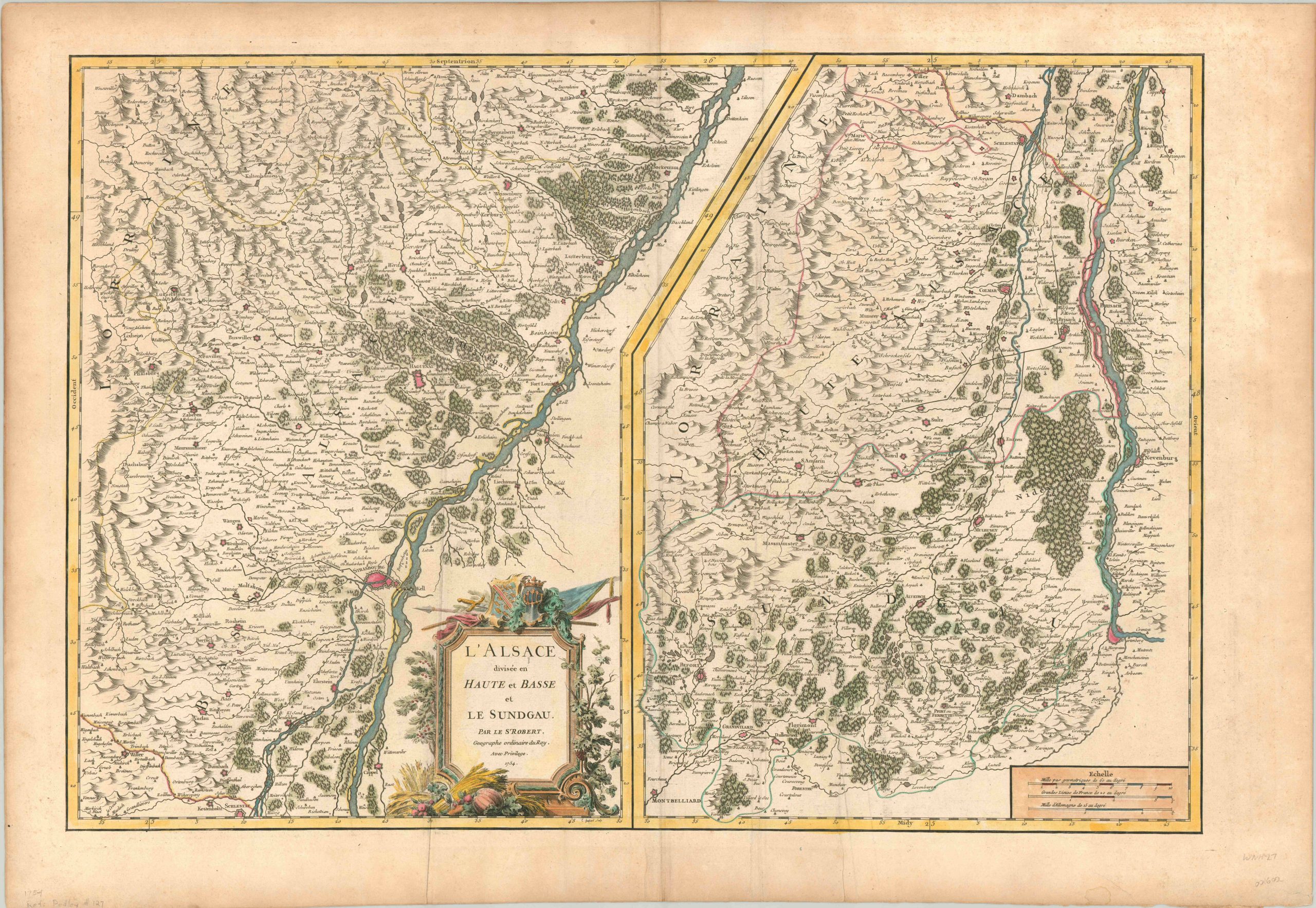
Two part image of the historical French region of Alsace.
1 in stock
Description
Sitting adjacent to the border with Germany, the French territory of Alsace has a long history as a battleground between the two European continental powers. Though the rivalry over the region escalated rapidly after Germany’s victory in the Franco-Prussian War (1871), even the preceding centuries saw localized conflict.
This map, published by Robert de Vaugondy in Paris, shows the area split into two parts along the Rhine River. Strasbourg, the economic and cultural capital of Alsace, can be seen on the left panel near the title cartouche, which itself features decorative elements related to the region’s fighting history as well as its agricultural value.
At the time of publication, Alsace was firmly under French control, having occupied the majority of its territory since the Treaty of Westphalia in 1648. But even so, independent enclaves and small pockets of territory under nominal German rule would persist. One example is Mulhouse, seen on the right panel not far from Basel, Switzerland (far lower right). This commune was a free Calvinist Republic until its citizens voted to join France in 1798.
The map is dated 1754, but was included in the 1757 (first) edition of Vaugondy’s Atlas Universel.
References: Pedley # 127.
Map Details
Publication Date: 1754
Author: Robert de Vaugondy
Sheet Width (in): 31.50
Sheet Height (in): 22.00
Condition: A-
Condition Description: A few extraneous vertical creases on either side of the centerfold, and the outer margins are slightly toned from age. Very good condition overall - attractive hand color on a strong, thick sheet.
$200.00
1 in stock