
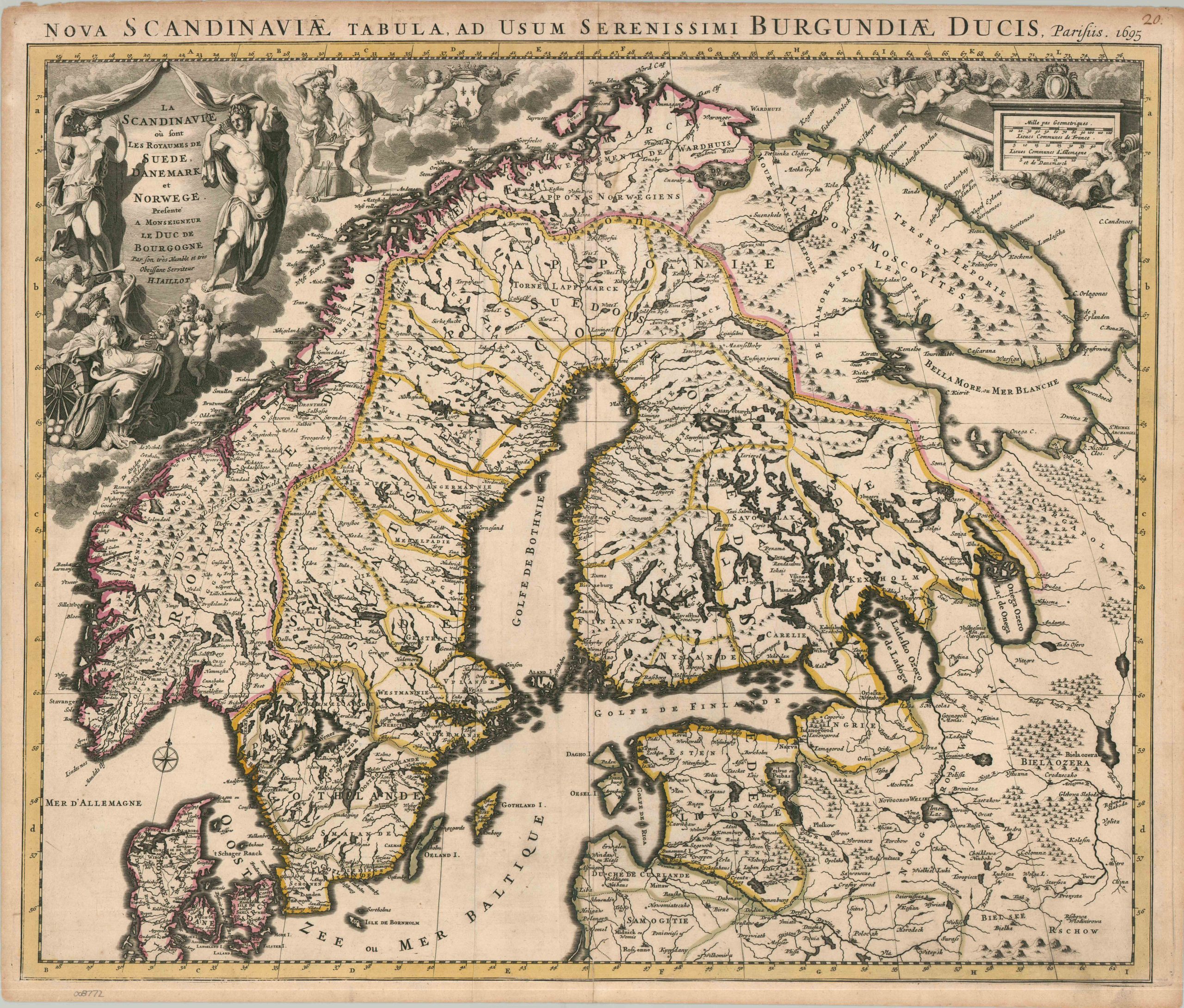
La Scandinavie ou sont Les Royaumes de Suede, Danemark, et Norwege
$1,200.00
“A new map of Scandinavia, for the use of His Serene Highness the Duke of Burgundy” – Upper title block
1 in stock
Description
This beautiful antique French map of Scandinavia was published in Paris in 1695 by Alexis Hubet Jaillot, Premier Geographer to Louis XIV and special tutor to the Duke of Burgundy (the king’s grandson). This royal patronage is celebrated in both titles, celebrating Jaillot’s prestige and subtly reflecting the political implications behind the map’s creation. It was issued in the midst of the Nine Years’ War, when France was embattled against the Grand Alliance (Spain, England, Dutch Republic, Holy Roman Empire, and Savoy). While most of the fighting took place on the continent further south, Scandinavia and the waters of the Baltic were a critical source of war material for France’s blockaded ports.
The crisply engraved image presents a detailed overview of the region, emphasizing political borders, major geographic features, and important settlements. Of particular concern to the French crown was the Danish capital of Copenhagen, where Louis XIV sent millions of livres to obtain support from ‘neutral’ Christian V of Denmark-Norway. It’s interesting to note that the town symbols change as one ventures from the ‘civilized’ European nations to the nomadic tribes of the far north and Lapland.
Even the decorative cartouches reflect contemporary geopolitical concerns. Flanking the title are two allegorical figures, probably Selene (note the crescent veil) and Helios, commonly associated with Artemis and Apollo. Nearby, a group of puttis is presenting the famed regional exports (furs and fish) to a woman seated next to a shield, wheel, and cannonballs – possibly Scandinavia personified. In the background, two blacksmiths and several cannons highlight the importance of Norway and Sweden as sources of iron and weaponry. Finally, the distinctive three fleur-de-lis of France’s coat of arms floats aloft above all.
Source: National Library of Finland
Map Details
Publication Date: 1695
Author: Alexis Hubert Jaillot
Sheet Width (in): 24.60
Sheet Height (in): 21.00
Condition: B
Condition Description: Copperplate engraving with a dark impression and original outline color on laid paper. Moderate marginal wear and toning (see scan), with an old handwritten page number in the upper right corner. Creasing along the vertical centerfold, a small streak of foxing (about 1") in the upper center, and light discoloration in the lower right, probably from the original plate strike. Good condition overall. Blank on verso.
$1,200.00
1 in stock