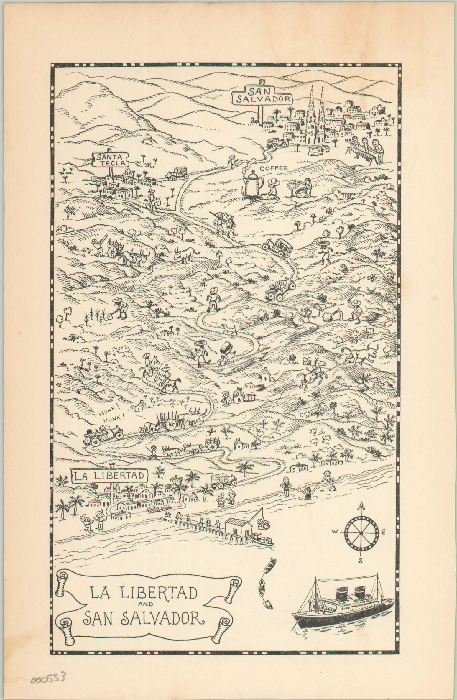
La Libertad and San Salvador
$35.00
Illustrated map of La Libertad and San Salvador published during the Great Depression.
Description
This is a charming small pictorial map of coastal El Salvador, focusing on an abstract area between La Libertad and San Salvador. The drawings reflect the local populations and customs, such as music and agriculture, with some accuracy while maintaining a lighthearted and humorous appeal. A compass rose and sailing ship can be seen in the lower right. The map was issued in A Log of the Spanish Main by Jo Mora.
According to David Rumsey, “This book is for personal use, for one to log the details of one’s cruise on board the Grace Line ships calling at the ports illustrated here with scenes and maps, and described in text. Information to fill in includes such items includes: people seeing you off, ships sighted at sea, to whom you need to write letters, entertainment, people you met, animal life observed, games, and bores, boobs and pests you met. Renowned illustrator and sculptor, Jo Mora, prepared it while on several cruises. Grace Line, sensing its great publicity value, bought up the entire edition and sold it at great discount to its passengers.”
Map Details
Publication Date: 1934
Author: Jo Mora
Sheet Width (in): 5
Sheet Height (in): 7.75
Condition: B+
Condition Description: Very good except one 1" tear entering the image from the bottom of the page. Repaired on verso. Soiling towards the top and along outer edges.
$35.00

