
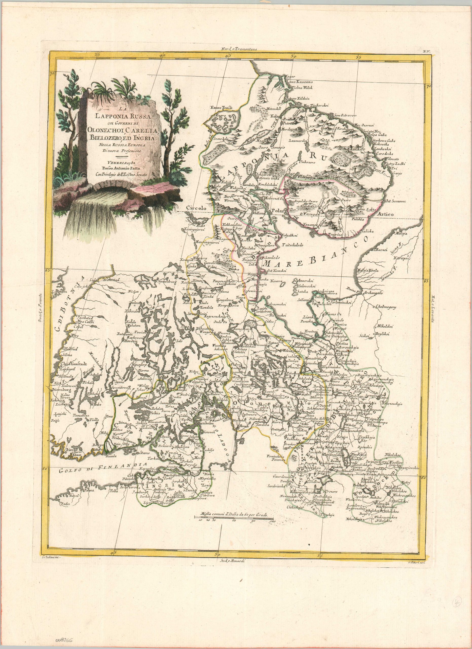
La Lapponia Russa coi Governi di Dolonechoi, Carelia, Bielozero, ed Ingria
$275.00
A charming antique map of Northwest Russia from the early 1780s.
1 in stock
Description
This elegantly engraved map of northwestern Russia captures the territorial boundaries of several gubernias near the height of Catherine the Great’s imperial power. The image provides a detailed overview of the frontier territory, stretching from the Arctic Ocean and the Kola Peninsula to the capital at St. Petersburg and the administrative center of Vologda. Numerous lakes and rivers are shown throughout, with the region’s extensive hydrography also reflected in the decorative title cartouche. Toponyms identify a fascinating variety of urban centers, geographic features, military outposts, ecclesiastical facilities, and more. Of particular interest are the island fortress at Kronstadt, the northernmost fishing village of Motowski, Kandalax (burned by the Swedes), and the island of Soloweckoi in the White Sea (home to the famous Solovetsky Monastery).
The map was published in Venice by Antonio Zatta in 1782, with explicit priviledge from the Dodge and Venetian Sentate (as noted in the cartouche). The image, based largely on earlier works by de Vaugondy and Zannoni, was drawn by Giovanni Marco Pitteri and engraved by Giuliano Zuliani. The sheet was originally issued as part of Zatta’s lavish Atlante Novissimo, one of the finest Italian atlases of the period.
Map Details
Publication Date: 1782
Author: Antonio Zatta
Sheet Width (in): 14.90
Sheet Height (in): 20.30
Condition: A
Condition Description: Copperplate engraved sheet with a crisp impression and printed on strong, watermarked paper with modern hand color. A bit of faint spotting in the lower center, likely as a result of the original plate strike. Very good to near fine condition overall.
$275.00
1 in stock