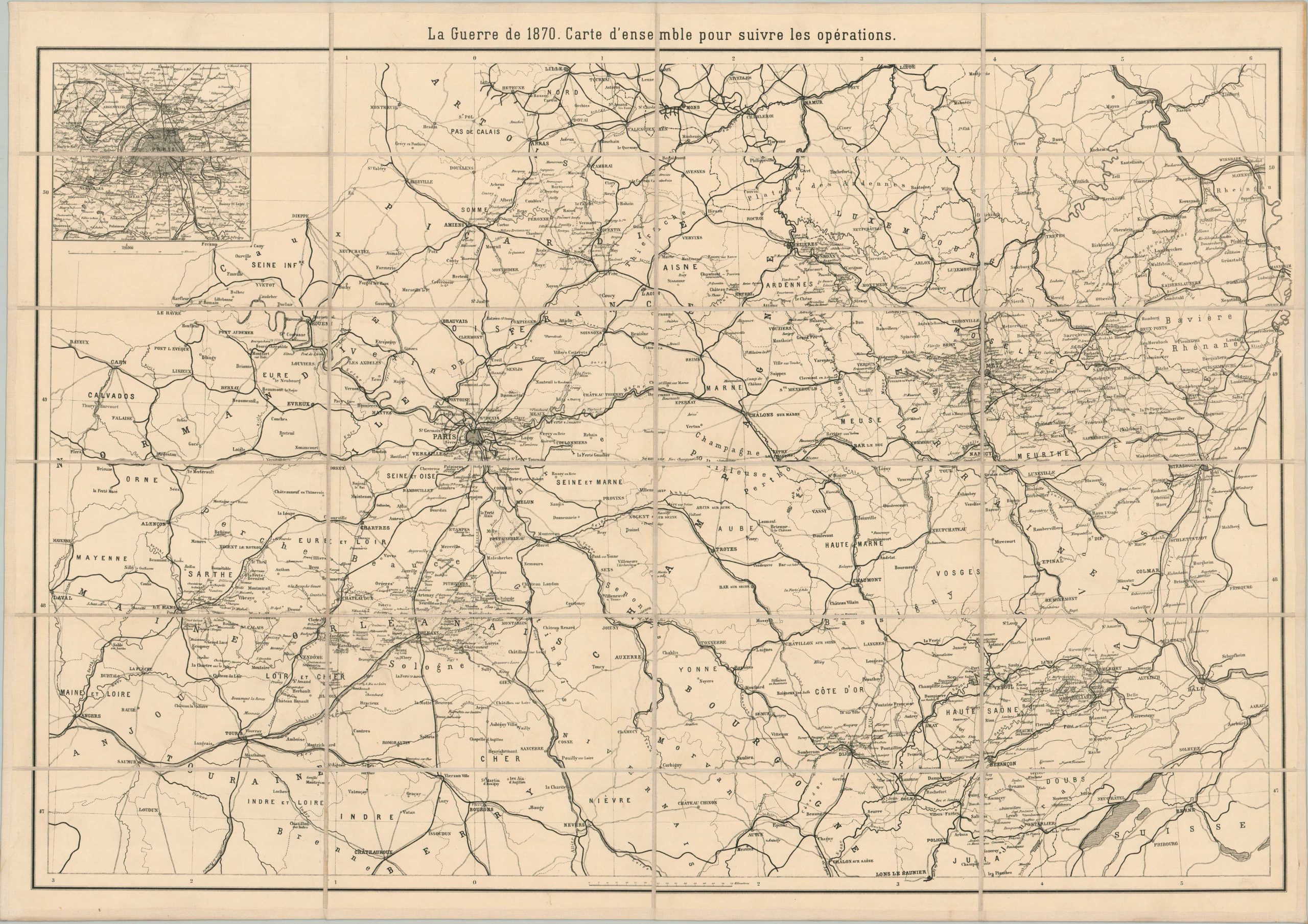
La Guerre de 1870. Carte d’ensemble pour suivre les opérations.
$125.00
Map of the Franco-Prussian War issued to accompany a French edition of von Moltke’s history
1 in stock
Description
This straightforward map presents the theater of the Franco-Prussian War, known also as The War of 1870 (1870-1871), in Northern Europe. Railroads are noted with thick black lines and toponyms concentrate on strategic locations like fortifications, crossroad towns, and elevated points. An inset in the upper left shows the defenses around Paris, which endured a terrible four-month siege during the conflict.
The map, probably published in Paris around 1890, was originally issued to accompany a French edition of Helmuth von Moltke the Elder’s ‘The War of 1870.’ This example has been expertly disbound and mounted onto linen for easy study.
Helmuth Karl Bernhard Graf von Moltke (1800 – 1891) was a brilliant military strategist who served as Chief of the Prussian General Staff during the Franco-Prussian War. His pioneering use of the railroad system was instrumental in victory, ultimately establishing the first Empire of Germany.
Map Details
Publication Date: c. 1890
Author: Helmuth Karl Bernhard von Moltke
Sheet Width (in): 34.1
Sheet Height (in): 24.25
Condition: A
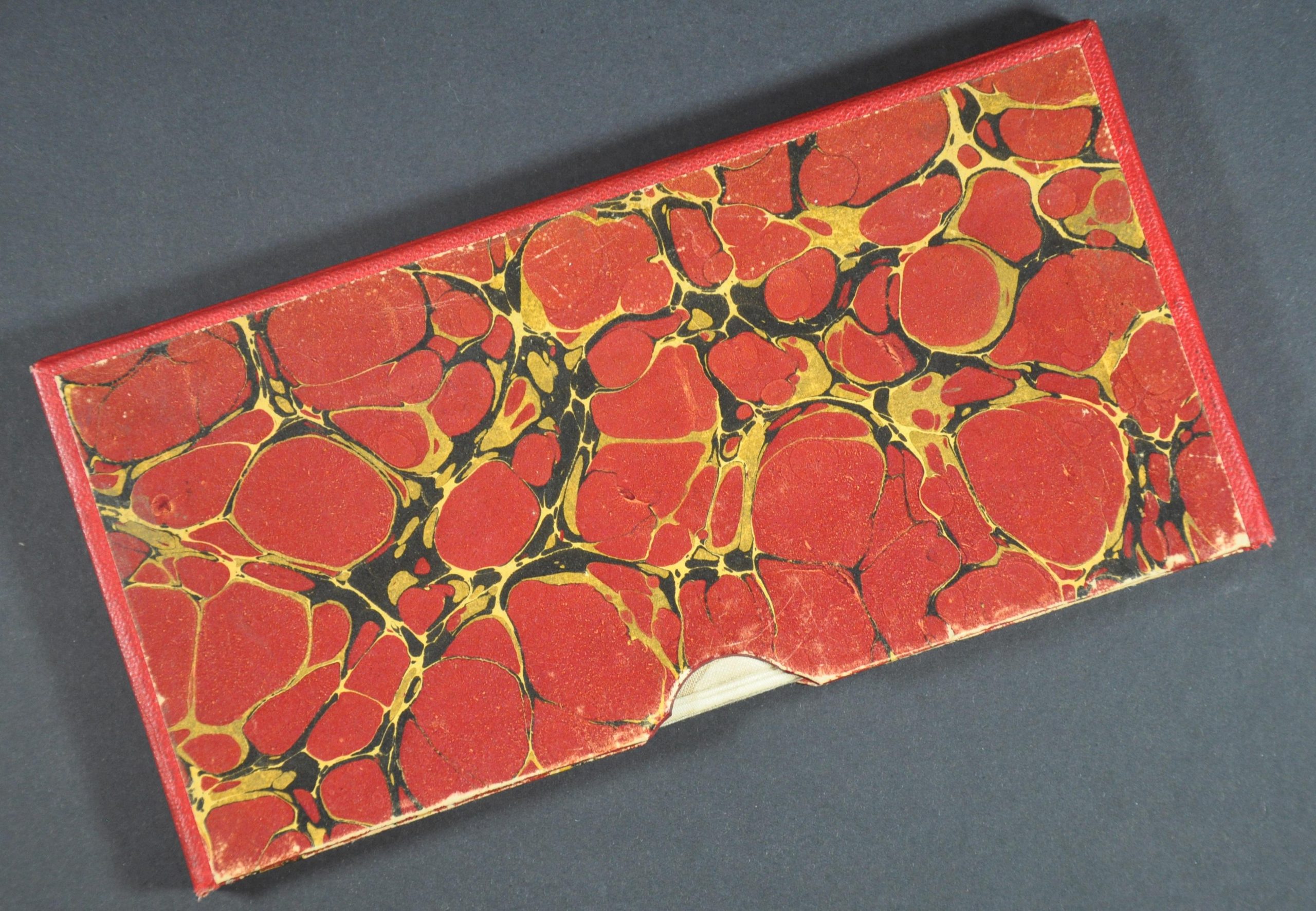
Condition Description: Large map disbound from original volume, dissected into 24 segments, and mounted onto contemporary linen. Includes custom slip case with marbled covers. A crisply engraved impression on a clean sheet - near fine condition overall.
$125.00
1 in stock