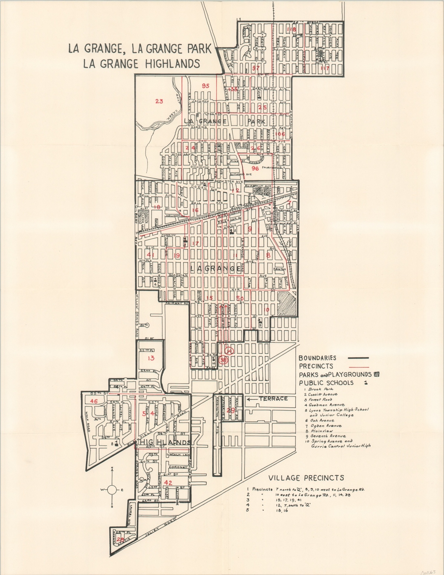
La Grange, La Grange Park, La Grange Highlands
$125.00
Three western Chicago suburbs, mid-century.
1 in stock
Description
This interesting, although slightly confusing, map shows a simple street outline of the villages of La Grange, La Grange Park, and La Grange Highlands – about 15 miles west of downtown Chicago. Red lines compose the borders of various village precincts, and the bewildering selection of numbers in the same shade may be related. Ten different schools are also identified, along with parks, playgrounds, and railroads.
Map Details
Publication Date: 1940s?
Author: Anonymous
Sheet Width (in): 16.75
Sheet Height (in): 21.75
Condition: A-
Condition Description: Light creasing along former fold lines and small pinholes at fold intersections. Very good overall.
$125.00
1 in stock

