
Kyongsong of Seoul (Keijo) Jyonggi-Do (Keiki-Do), Korea
$500.00
SECRET Allied city plan of Seoul during the Japanese occupation of World War II.
1 in stock
Description
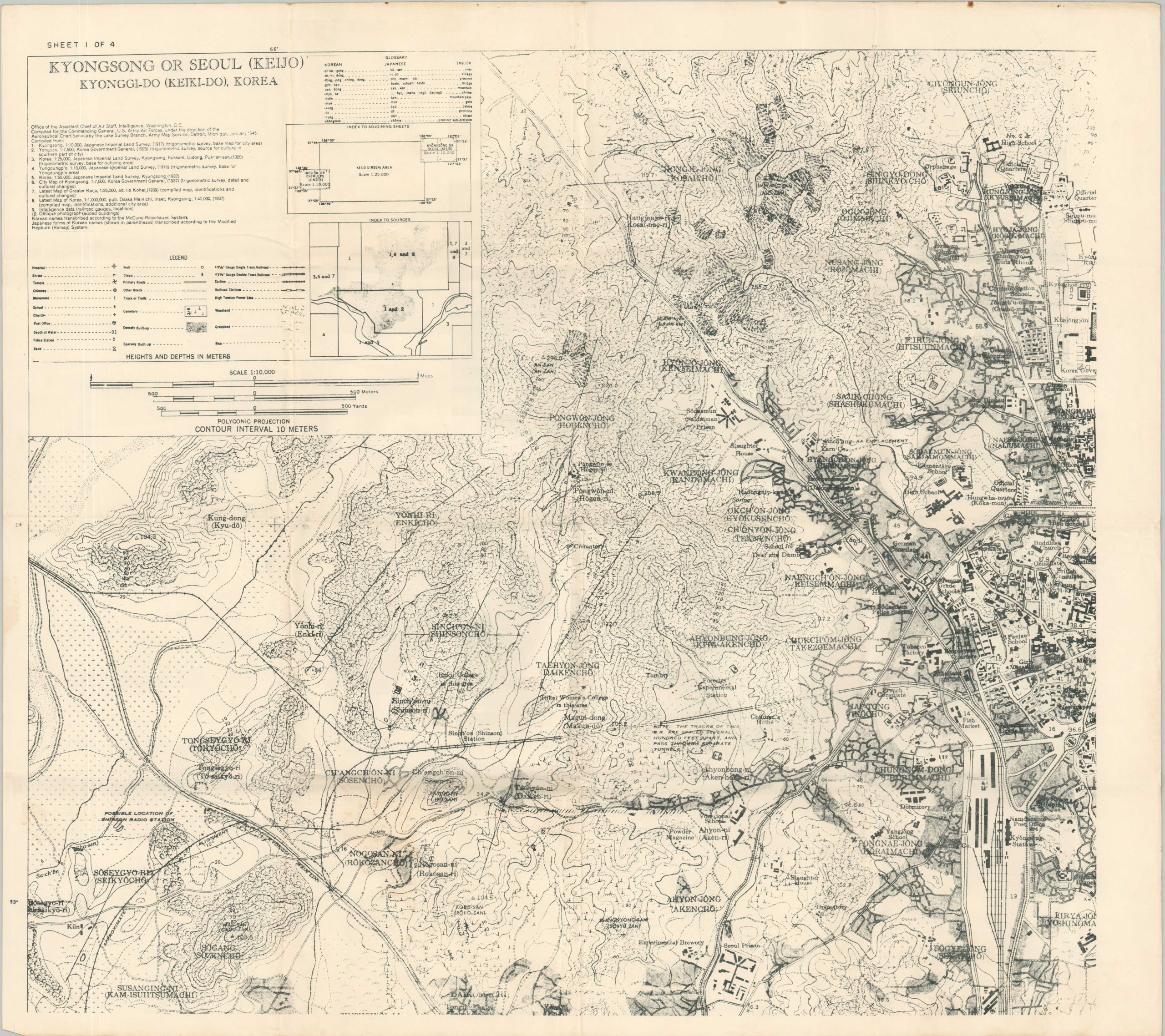
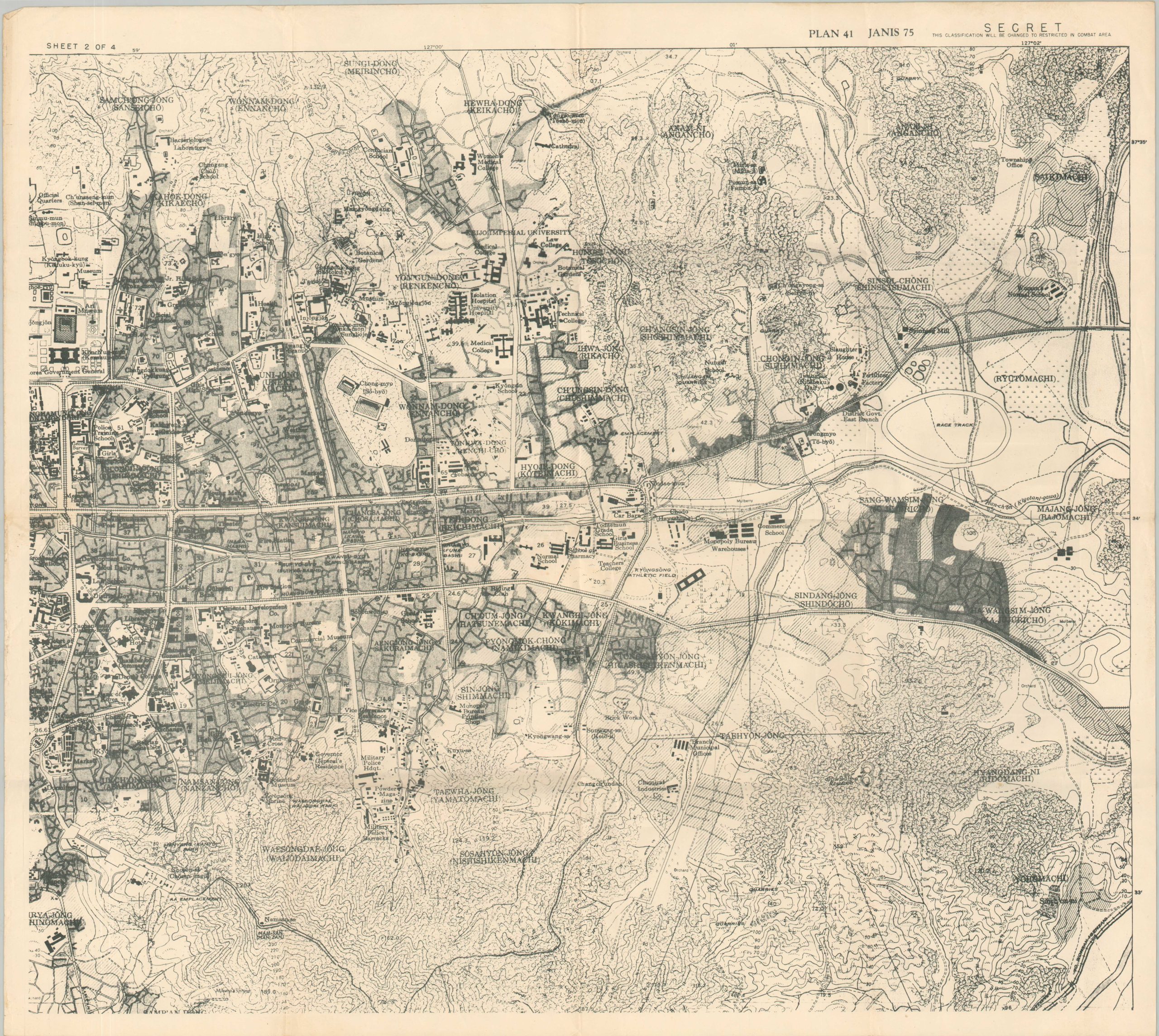
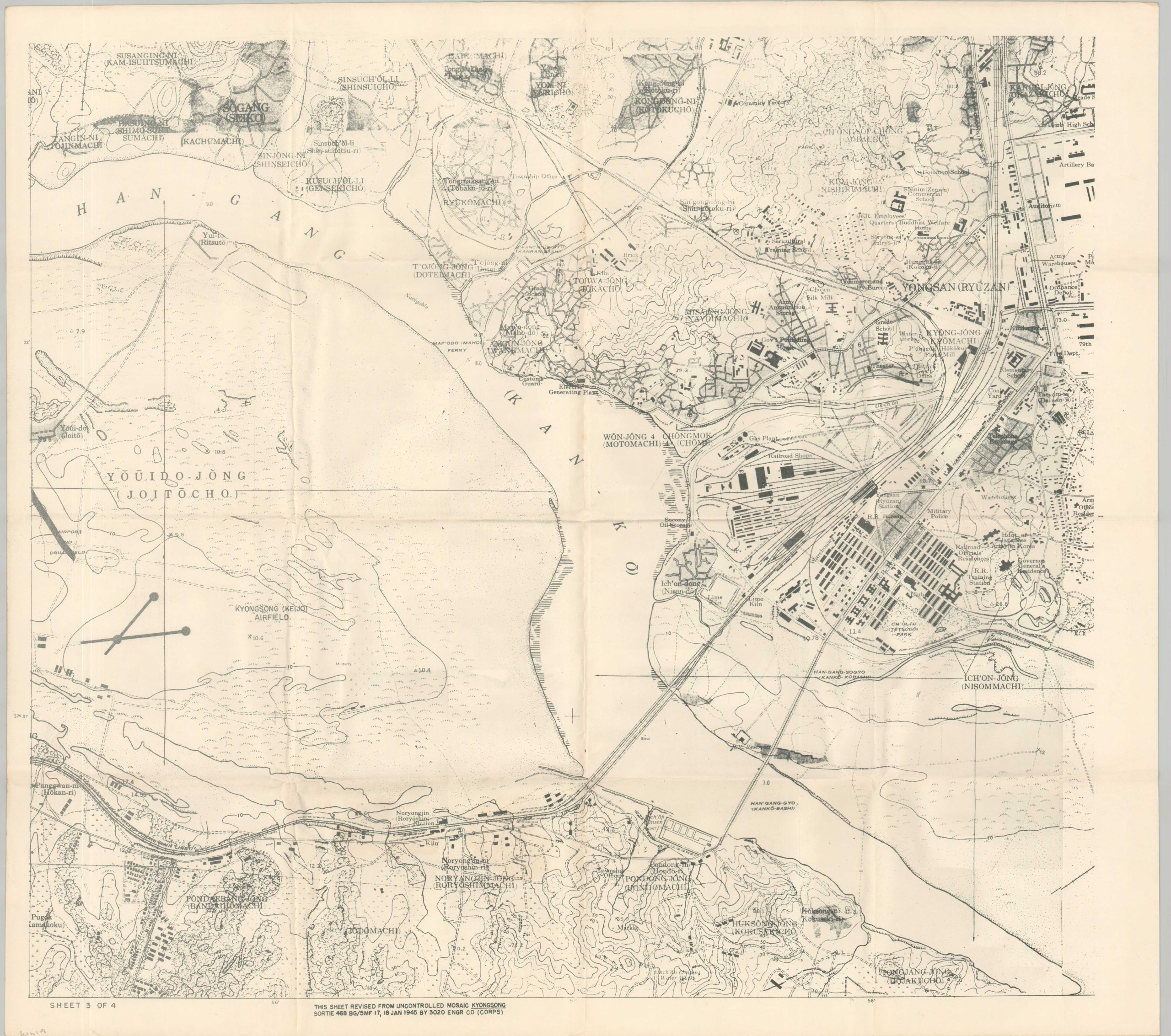
This detailed set of maps, unfortunately incomplete, was compiled by the 3020 Engineer Company (Corps) in January 1945, using aerial reconnaissance photographs. The trio of images, marked SECRET, covers the majority of the metropolitan area of Seoul, the capital of Japanese-occupied Korea (Chosen).
A legend in the upper left identifies the various symbols for civilian infrastructure, transportation routes, and important buildings. Topography is shown using contours and numerous landmarks are labeled (using a variety of English, Japanese, and Korean) throughout. Of interest are an Experimental Brewery, Kyongsong Airfield, Yongsan Station, and numerous military installations.
The entire Korean peninsula was officially annexed into the territory of Japan in 1910 and Seoul was officially renamed Keijo. The city (and the nation) contributed significantly to the Japanese war effort and suffered greatly under the occupation. Forced labor (notably prostitution), cultural suppression (including language and name restrictions), and military conscription were commonplace until Allied liberation – which resulted in a separate set of difficult circumstances for the Korean populace.
Map Details
Publication Date: 1945
Author: 3020 Engineer Company (Corps)
Sheet Width (in): 22.25
Sheet Height (in): 19.75
Condition: A-
Condition Description: Three (of four) single-sided sheets comprising a large-scale military plan of Seoul (size given for each). Creased along old fold lines and faintly toned along the outer edges of each sheet. Very good condition overall.
$500.00
1 in stock