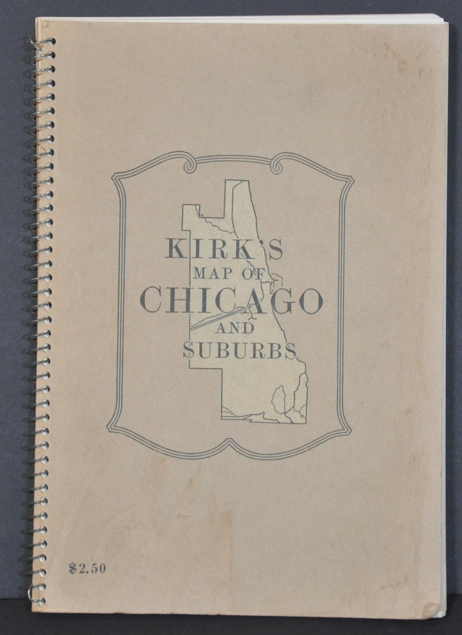
Kirk’s Map of Chicago and Suburbs
Mid-century atlas of Chicago and the surrounding area.
Out of stock


Description
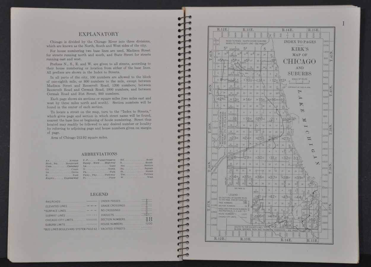
Fred Kirk issued at least thirteen different editions of his ‘Map of Chicago and Suburbs’ (really more of an atlas), beginning in 1917. This example dates from 1953 and shows a detailed street grid of much of Cook County, spread across 62 pages.
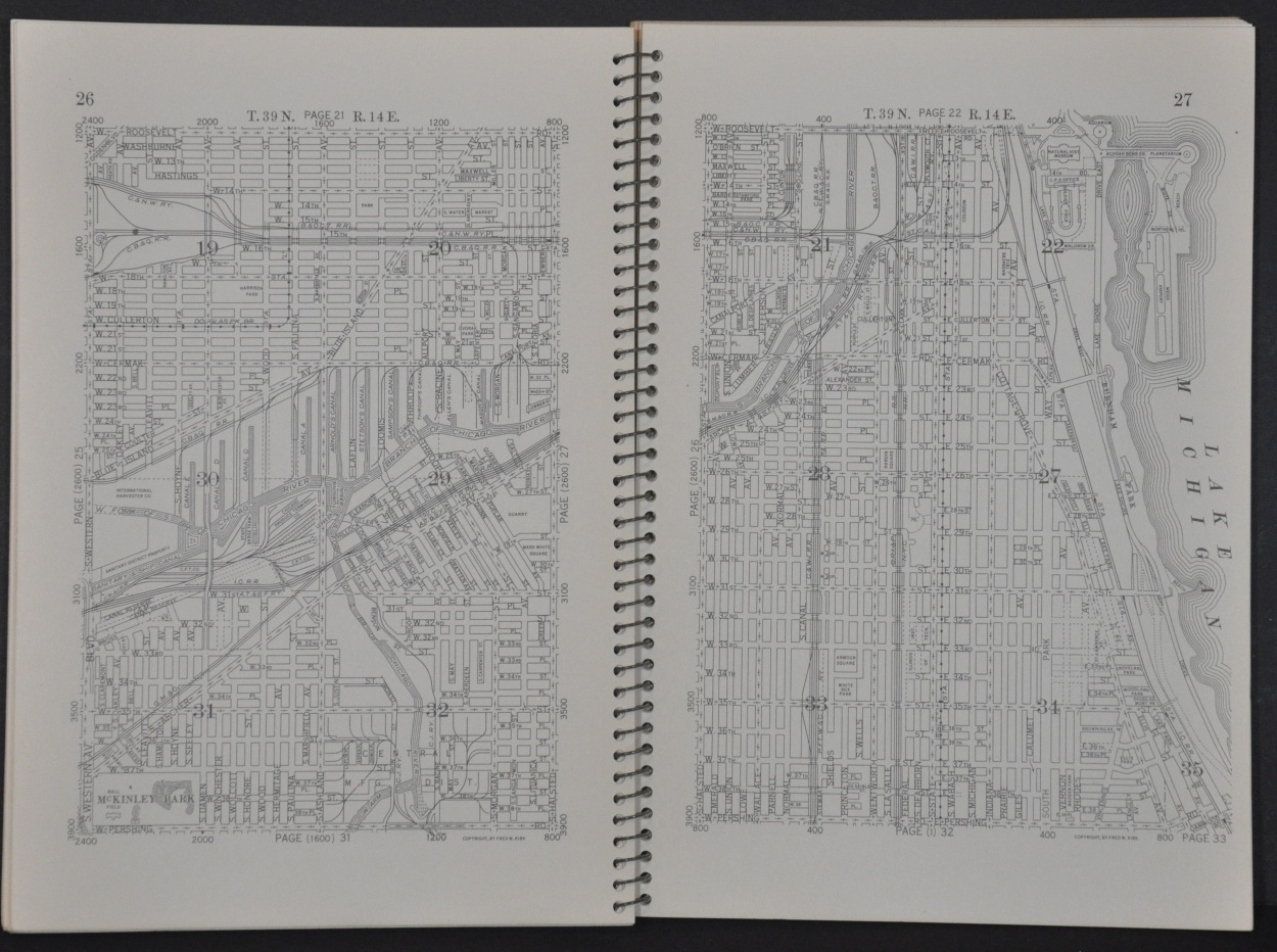
Index maps of Chicago, the North Shore Suburbs, Western Suburbs to Mannheim Road, and South to the County Line are followed by single-page plans that cover about six square miles each. Parks, golf courses, forest preserves, schools, railroads, and other major landowners are noted throughout.
Map Details
Publication Date: 1953
Author: Fred Kirk
Sheet Width (in): 8.5
Sheet Height (in): 5.75
Condition: A-
Condition Description: 62 pp. atlas of Chicago and suburbs with spiral binding and stiff paper covers. Wrappers are a bit soiled and the corners are creased on a few pages, but overall in very good condition. Accompanied by a loose folding map of Chicago Census Tracts.
Out of stock