
King County and Vicinity
$95.00
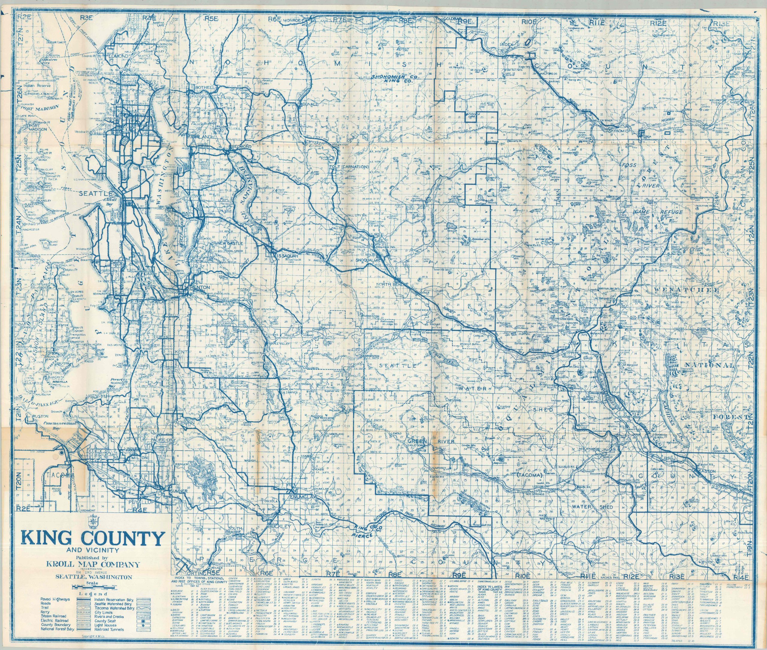
Kroll’s map of King County, from around 1940.
1 in stock
Description
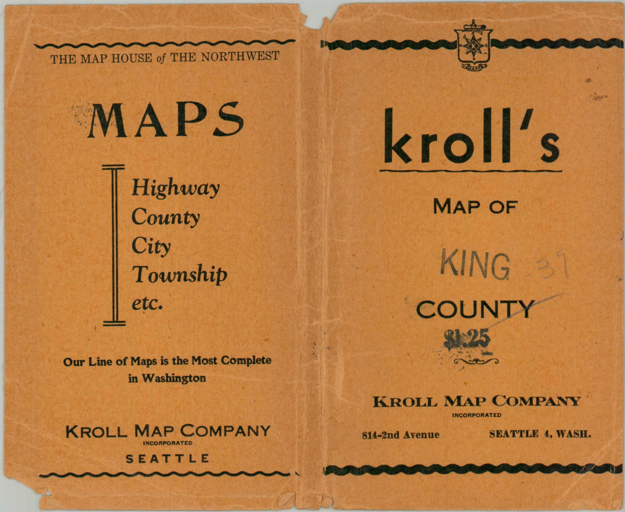
The detailed postwar map of King County, Washington, was published in Seattle by the Kroll Map Company, the self-described ‘Map House of the Northwest’ (on the front covers). Though a bevy of transportation options are noted, paved roads have visibly surpassed the railroad as the primary means for the audience’s attention. Ferry routes, electric railways, and hiking trails are also shown. Interesting features include a number of docks and resorts along the east shore of Lake Washington, the Foss River Game Refuge, and Seattle-Tacoma Airport. An index of towns, stations, and post offices is provided along the bottom of the sheet.
Map Details
Publication Date: c. 1947
Author: Kroll Map County
Sheet Width (in): 36.5
Sheet Height (in): 28
Condition: B
Condition Description: Single-sided map printed on a large sheet and disbound from original paper wraps (present). Creasing along old folds and moderate toning visible in a few places (see scan). Good condition overall.
$95.00
1 in stock