Kellogg’s Wheel of Knowledge Interesting Facts about the United States
Cartographic chart of the 49 states in America, issued by Kellogg’s Cereal.
Out of stock

Description
This wheel-chart, called a volvelle, was published in 1931 by the A. Knapp Company as a promotional item for Kellogg’s Cereals.
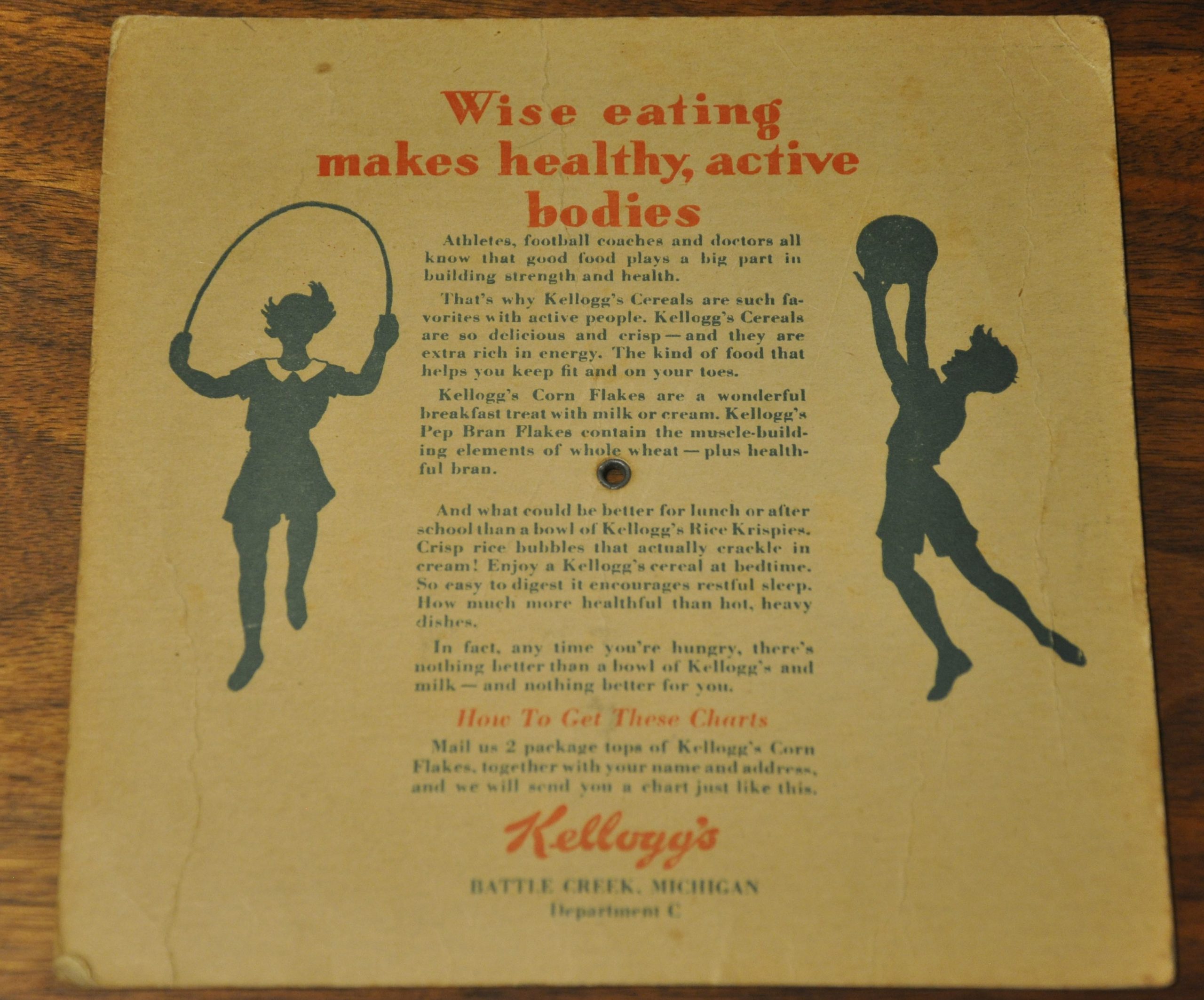
Two box tops sent to the headquarters in Battle Creek would result in the delivery of this chart, whose center wheel rotates and points to each state located along the border. As the wheel rotates, information presented in each window (population, principal river, square miles, capital, etc.) changes to reflect each state, which are numbered according to the inset map.
Images of four Kellogg’s cereal brands can be found in each corner, All-Bran, Pep, Corn Flakes and Rice Krispies – and on the verso is additional advertising lauding the healthful properties of each.
Map Details
Publication Date: 1931
Author: A. Knapp
Sheet Width (in): 6.50
Sheet Height (in): 6.50
Condition: B
Condition Description: Moderately worn and toned, consistent with age and use. Scattered foxing present on the dial, and minor abrasion visible along the outer edges. Remains functional and completely intact.
Out of stock