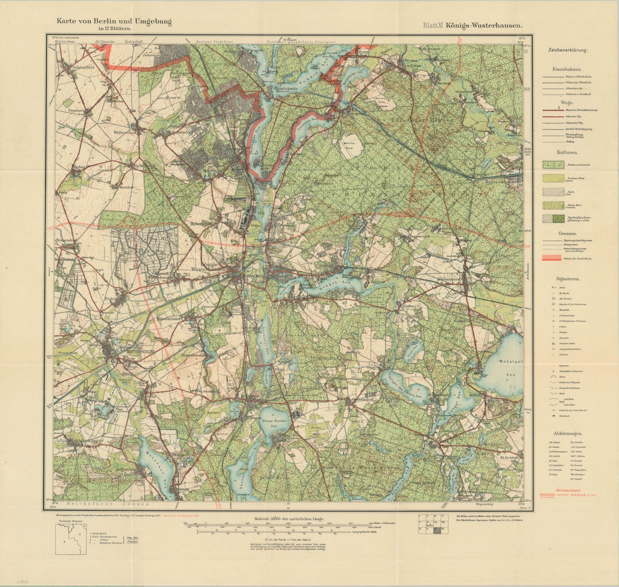
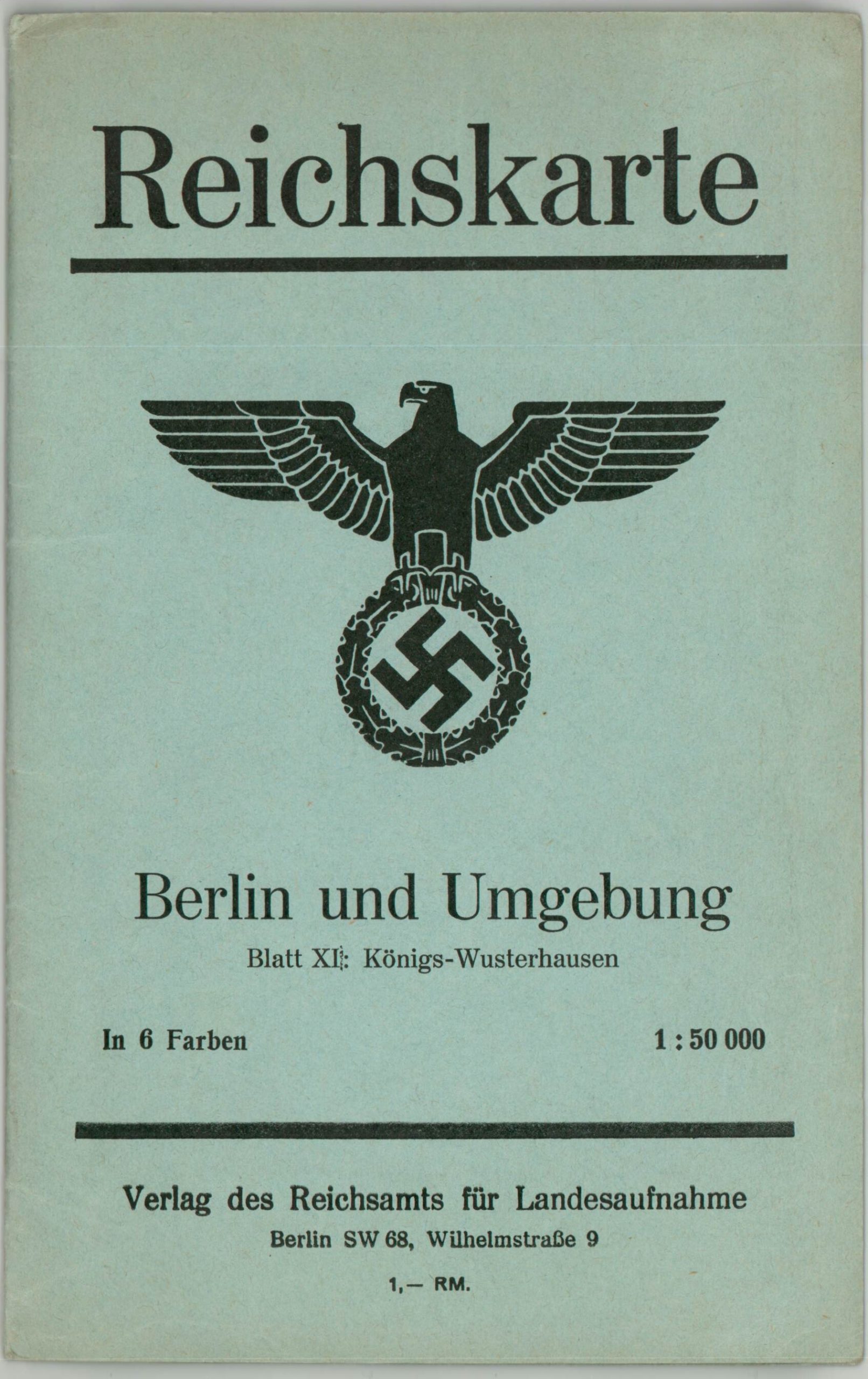
Karte von Berlin und Umgebung Blatt XI Konigs – Wusterhausen
$119.00
The southeastern suburbs of Berlin in the midst of World War II.
1 in stock
Description
This detailed city plan was issued around 1942 by the Publisher of the Reich Office for State Recording. The image is centered on the town of Königs Wusterhausen, situated about 30 miles southeast of the Berlin city center. Various transportation routes, ground covers, military facilities, and defensive structures are noted according to the legend on the right side of the page. The Reichsautobahn is highlighted in orange.
In 1944, a concentration camp was constructed at Königs Wusterhausen to function as a satellite camp for the broader Sauchsenhausen system.
Map Details
Publication Date: c. 1942
Author: Verlag des Reichsamts fur Landesaufnahme
Sheet Width (in): 23.25
Sheet Height (in): 22.00
Condition: A
Condition Description: Folds into 15 segments and affixed to original blue paper wraps. Light creasing and very faintly toned, consistent with age. Near fine overall.
$119.00
1 in stock