
Karte de Eisenbahnen Mittel-Europa’s mit Angabe samlicher Bahnstationen, Hauptpost, Dampfschiff, Verbindungen..
$125.00
Map of Central European Railways showing all Railway Stations, Main Post Offices, Steamship Connections…
1 in stock
Description
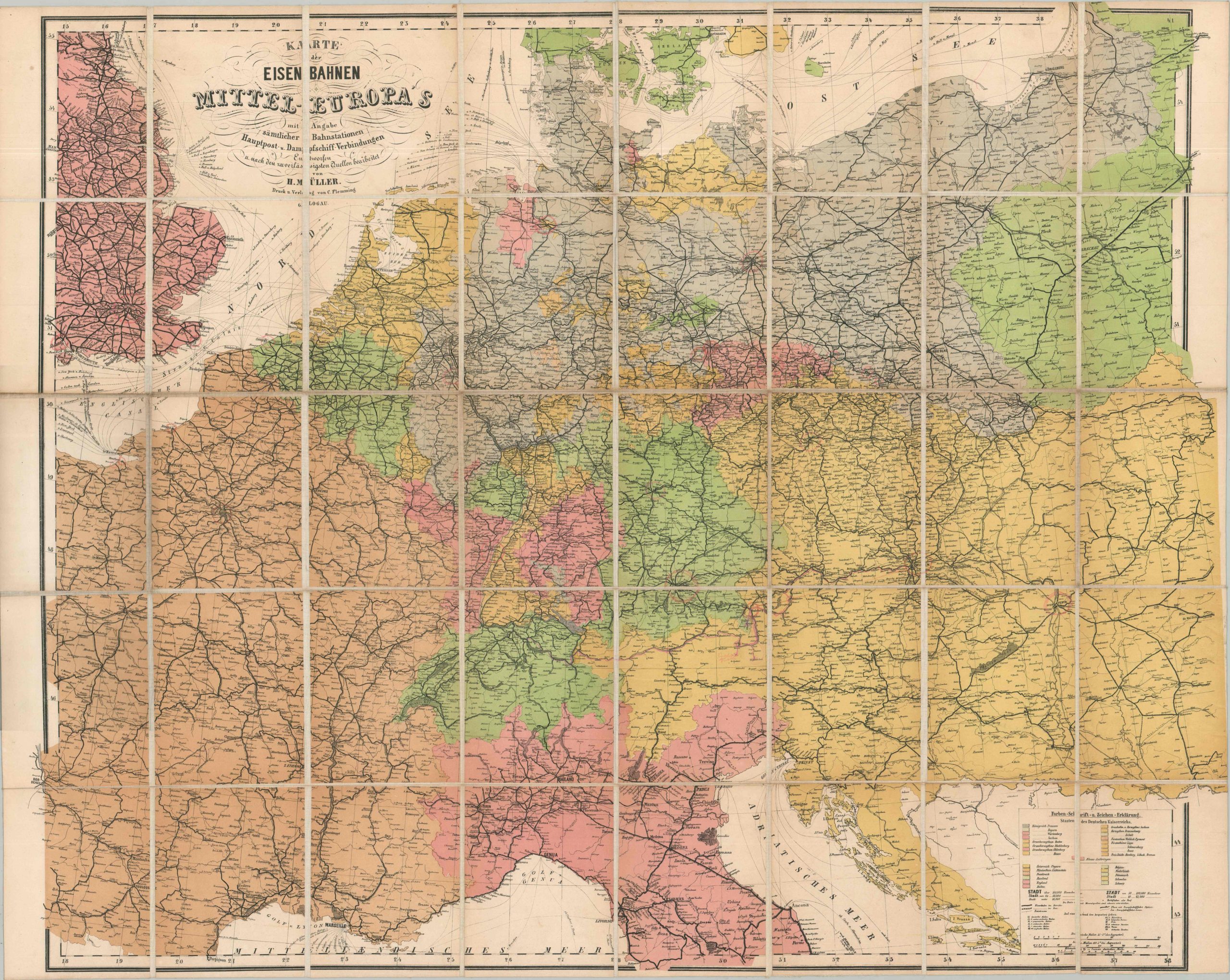
This attractive antique map of Germany’s Second Reich and the surrounding nations provides a detailed overview of the regional railway network near the beginning of the 20th century. The various constituent states (kingdoms, duchies, principalities, etc.) of the German Empire are highlighted in bright colors, along with those countries on the immediate borders. These numerous political entities, plus railway infrastructure and certain geographic features, are outlined in the German-text legend (lower right). Steamship routes along the coastline are also noted. Topography is largely omitted from the image, reflecting the map’s primary purpose as a transportation reference.
The image was compiled ‘from the most reliable authorities’ by Heinrich Muller and published in Glogow (Poland) by Carl Flemming around 1900. Advertisements for the firm’s other maps and publications can be found printed on the endpapers of the cover to which the sheet is affixed.
Map Details
Publication Date: c. 1900
Author: Heinrich Müller
Sheet Width (in): 39.50
Sheet Height (in): 31.50
Condition: B+
Condition Description: A large color printed map dissected into 40 segments, mounted on sturdy linen, and affixed to original decorative boards (as originally issued), with splits along the spine. Moderate soiling affects the outer edges and there is a bit of toning visible along the seams. Manuscript annotations in a pinkish pencil appear to mark the route of a previous owner. Two pages of advertisements with taped repaired affixed to the front cover. Good condition overall.
$125.00
1 in stock