
Kaltenborn’s New War Map
$45.00
Detailed map of the European War before it escalated to a truly global scale.
1 in stock


Description
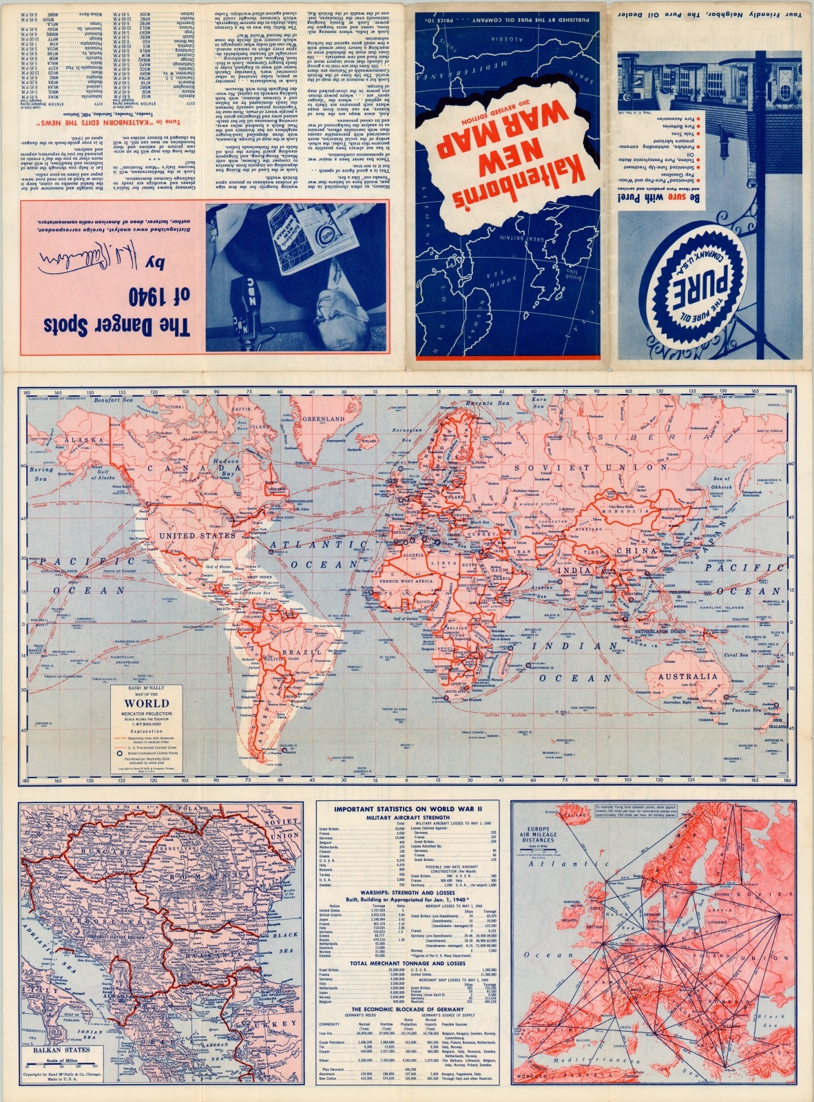
Resulting from a partnership between Rand McNally, Pure Oil, and NBC radio commentator H.V. Kaltenborn, this is a fascinating strategic overview of the conflict presently confined largely to Europe. Symbols for naval bases, air bases, fortifications, blockade squadrons, mined areas and combat zones are all shown, with an inset map of the Western Front during the period known as the “Phoney War” or “Sitzkrieg”.
On the verso is a world map showing distances for steamships, a map of Europe showing air distances, and an inset of the Balkan States. A table of statistics shows total warship and mercantile losses, economic effects of the blockade and military aircraft strength by country as of Jan. 1, 1940.
Map Details
Publication Date: 1940
Author: Rand McNally
Sheet Width (in): 26.50
Sheet Height (in): 19.50
Condition: B+
Condition Description: Creasing and light wear along originally issued fold lines and minor discoloration in several areas, including both front and back covers and the upper right corner of the map.
$45.00
1 in stock