
Judge’s Road Map of Washington and Oregon
$500.00
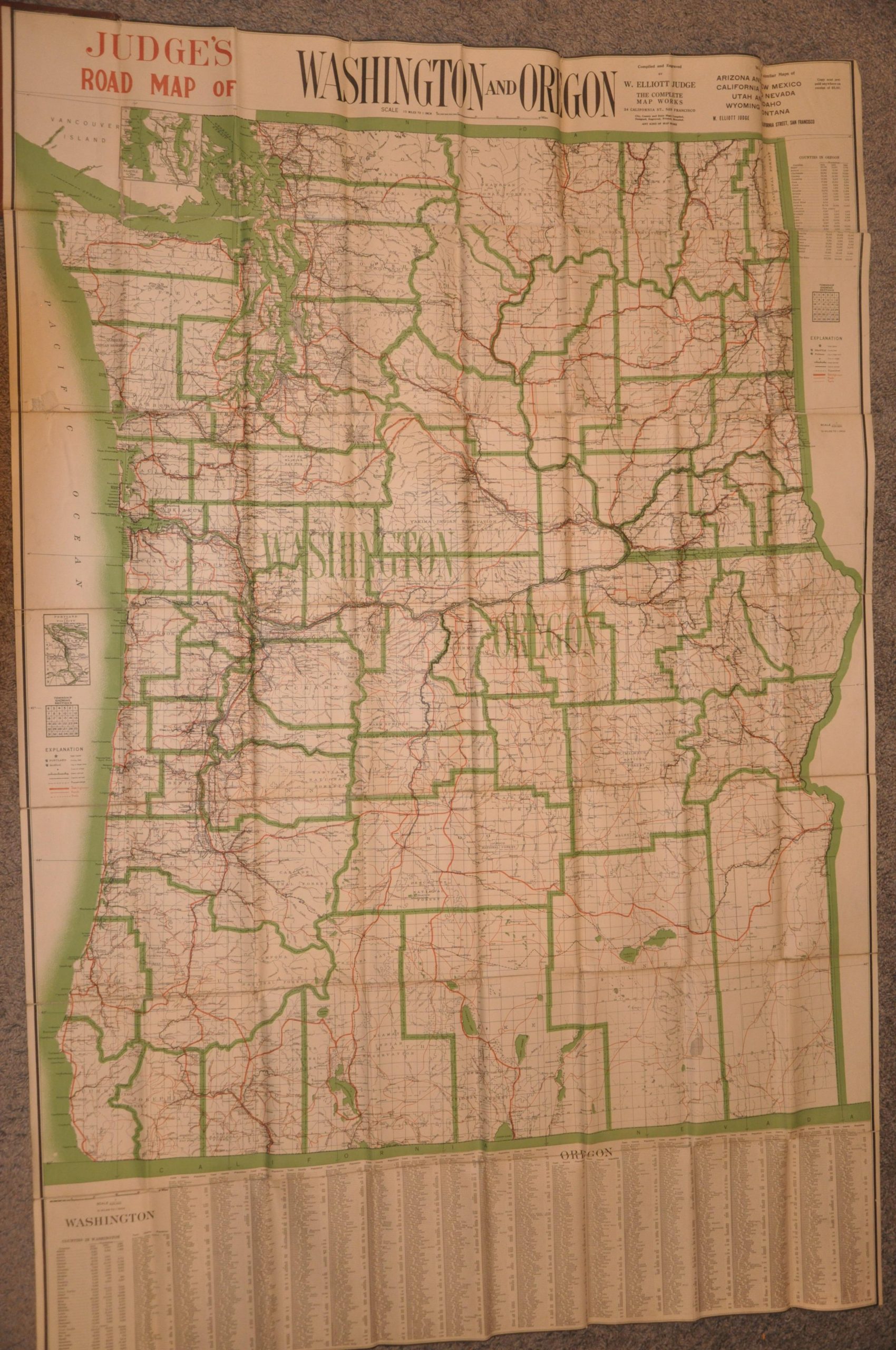
A massive, rare, and early road map of Washington and Oregon.
1 in stock
Description
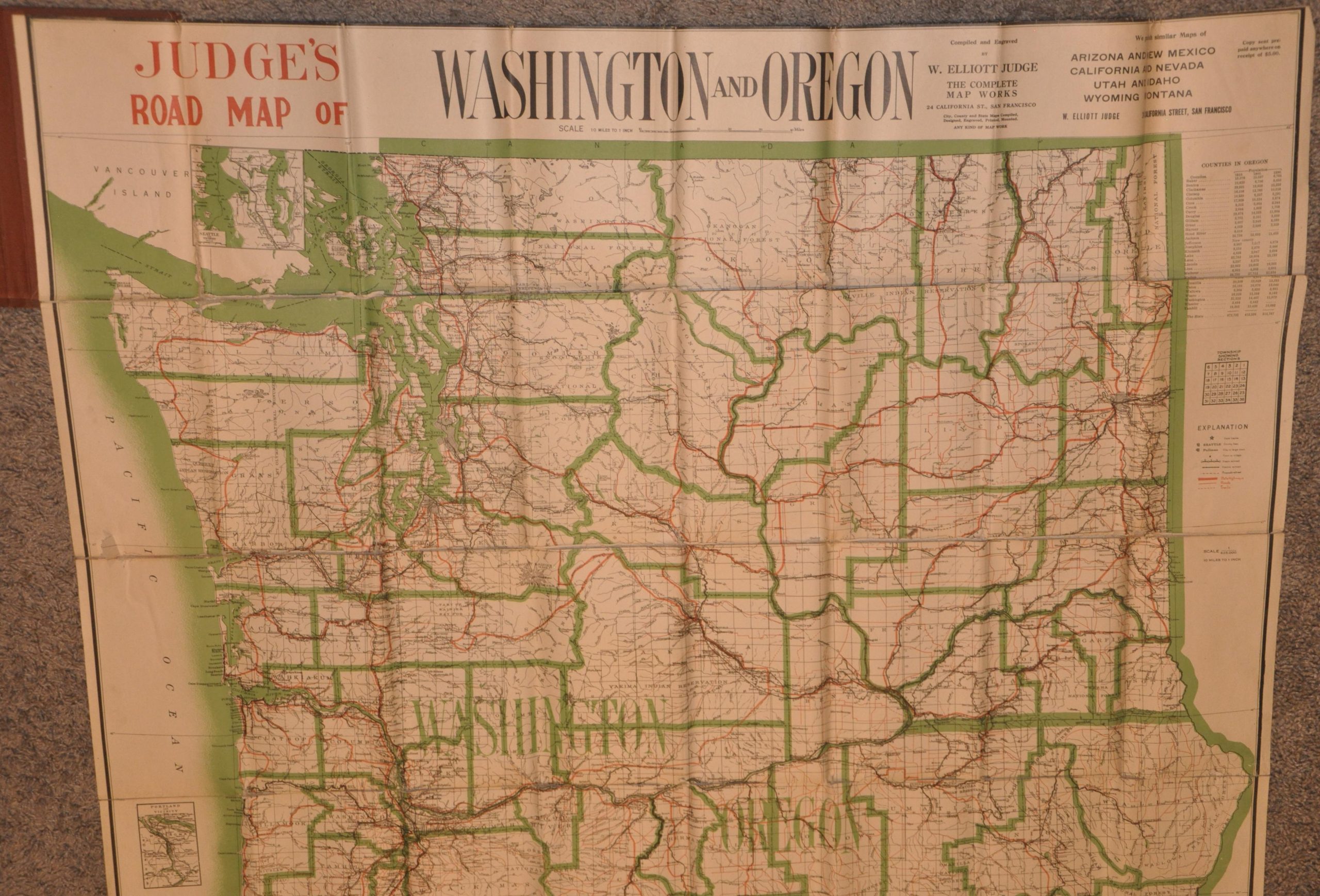
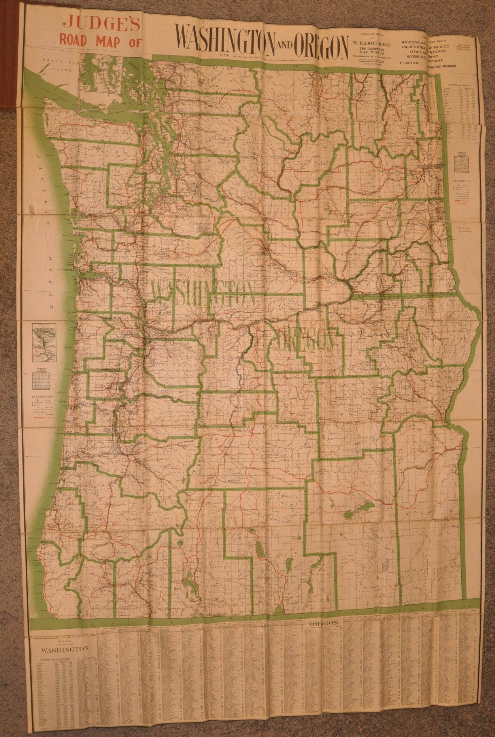
This gigantic, almost unwieldy, folding map of Washington and Oregon offers a rudimentary WWI-era guide to the roads of the Pacific Northwest. State highways are depicted in bright red and presented (somewhat disingenuously) as a uniform network of unbroken thoroughfares. Other roads and trails are shown in (thinner) solid and dashed red, respectively – the ‘line’ between the two categories was also likely quite thin! Small insets show the area around Portland and Seattle, while accompanying indices provide population information, highlighting the tremendous regional growth between 1890 and 1910. The omission of any road surface information, distances, or topographic details makes the final product somewhat lacking as an automobile guide.
The map was compiled, engraved, copyrighted, published, and probably even mounted by W. Elliott Judge of San Francisco, California. Copyrighted in 1916, according to a date printed in the lower right corner. Despite Judge’s other offerings (ANY KIND OF MAP WORK) advertised in the upper border and his longevity in the business (c. 1910s – c. 1950s), his products are uncommon. Only two examples of the Washington and Oregon map are listed in WorldCat, in the collections of UC Davis and Stanford. OCLC# 1024178926.
Map Details
Publication Date: c. 1914
Author: W. Elliott Judge
Sheet Width (in): 41.50
Sheet Height (in): 62.75
Condition: B+
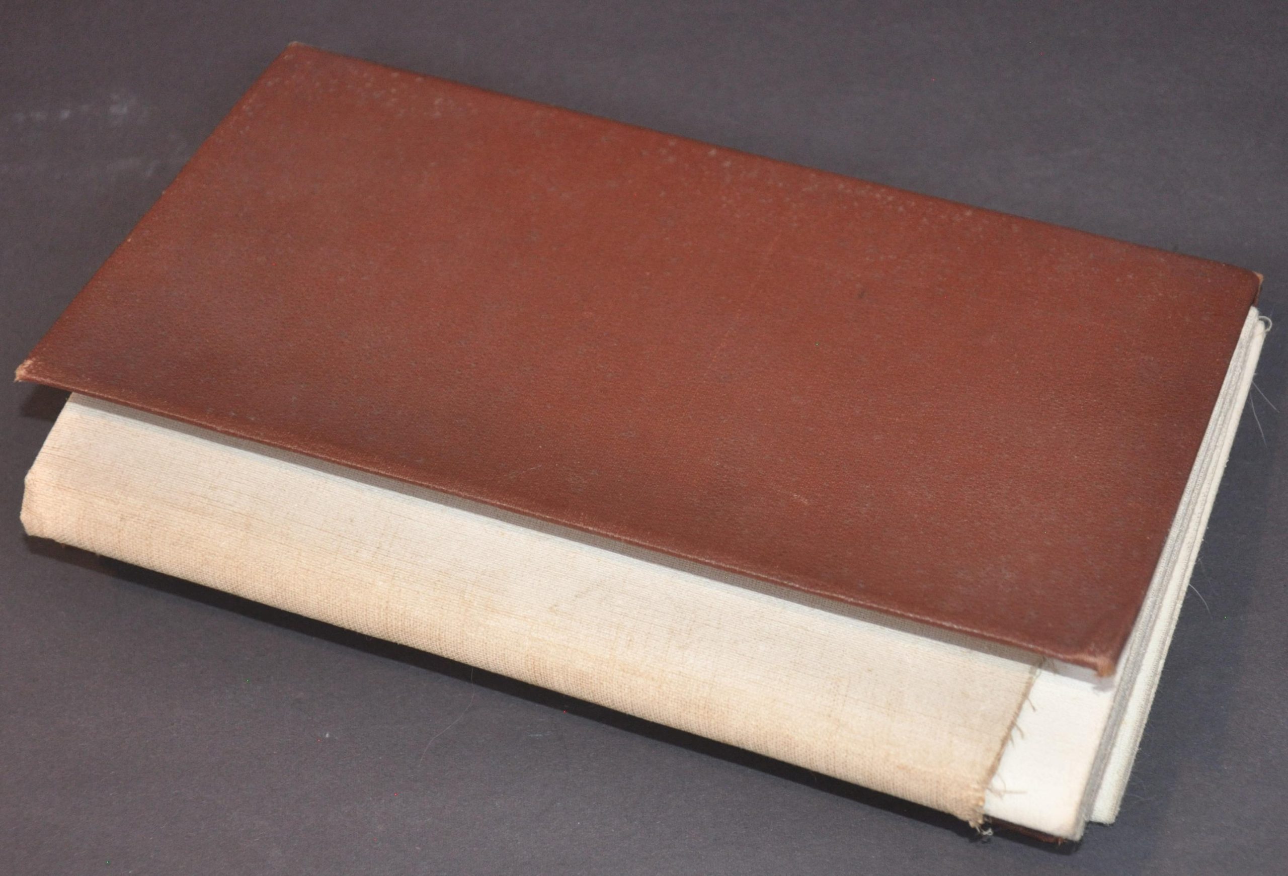
Condition Description: Huge color printed map dissected into sections and mounted on linen, likely as originally issued. Bound in full red cloth boards. Some moderate wear along the seams, including curling to the paper and some image loss at a few fold joint. Faint toning also present in some places. Good condition overall.
$500.00
1 in stock