Journeys of Frodo
An atlas of J.R.R. Tolkien’s Lord of the Rings trilogy.
Out of stock
Description
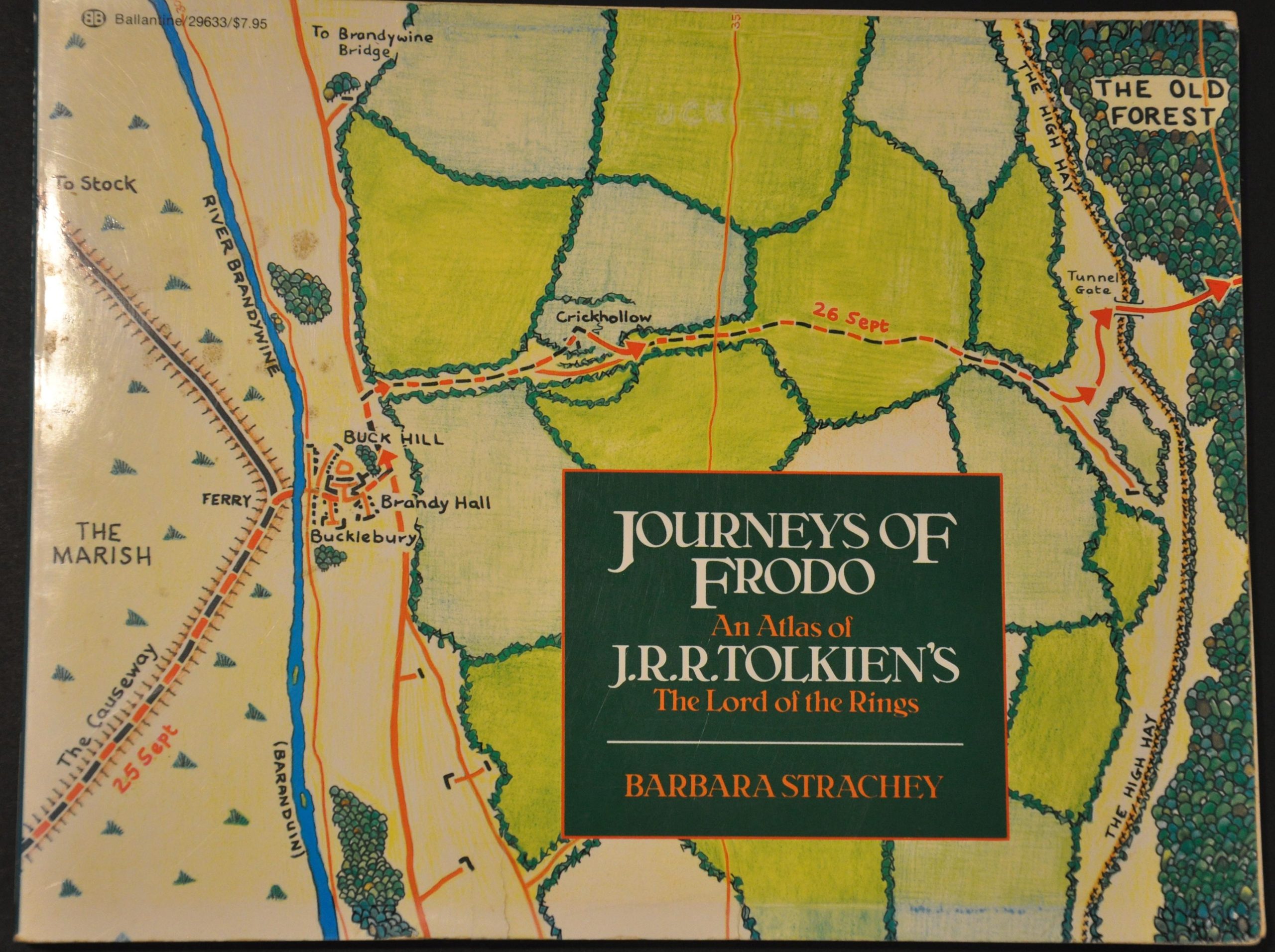
This collection of maps was meticulously compiled by Barbra Strachey and published in 1981 by Ballantine Books in New York. It was designed as a cartographic accompaniment to the Lord of the Rings trilogy, written by J.R.R. Tolkien and first published in 1954/1955. The contents are influenced heavily by the original maps of Middle Earth designed by Tolkien’s son, Christopher.
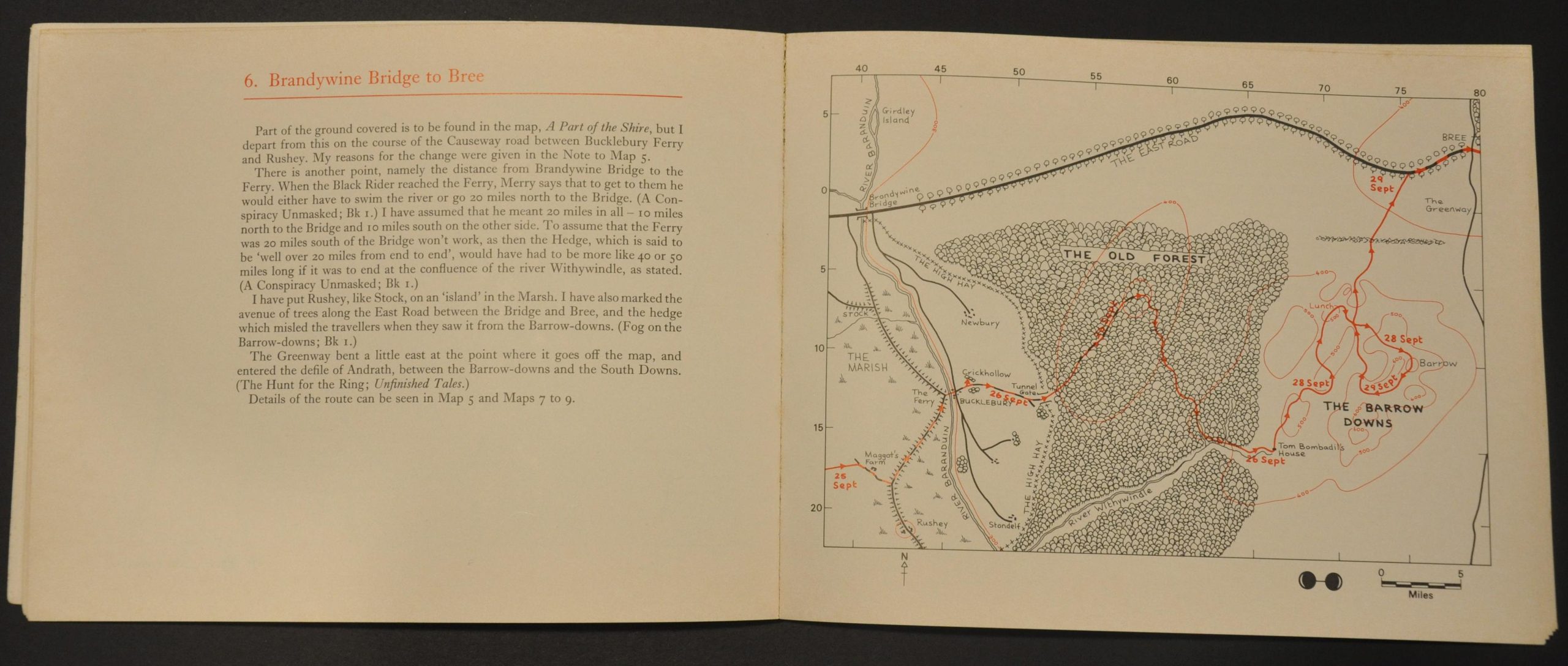
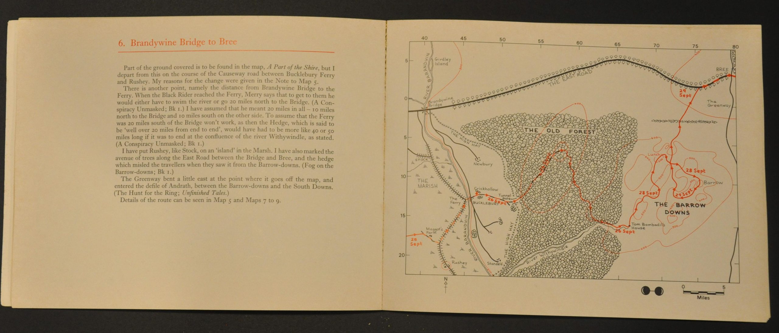
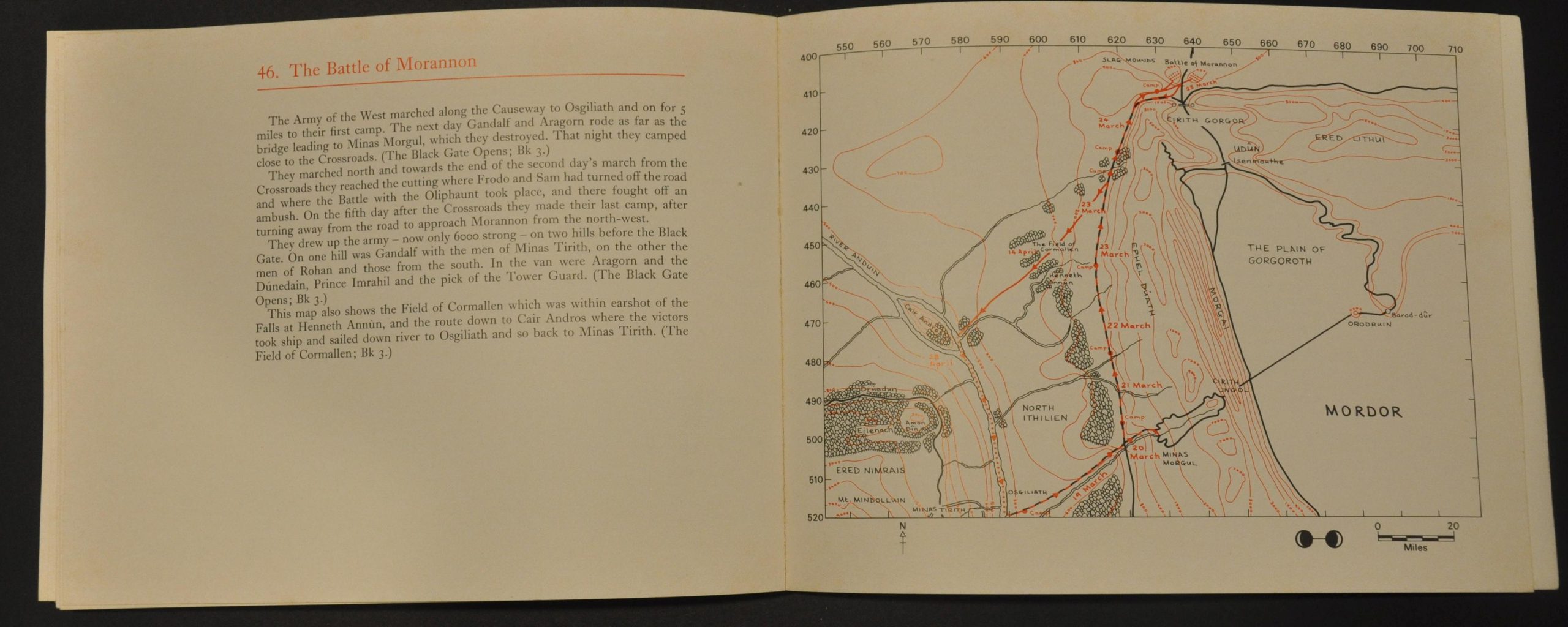
An introduction describes the overall methodology, including scale, the use of contour lines, and more. An index and legend are then followed by fifty single page maps, each large scale and thus showing minute details gleaned from each volume. Numbers round the edge give the distance, in miles, from the ‘meridian’ (Hobbiton Hill).
Opposite each plan are excerpts from the text that relate to the geography or landmarks presented within the image. The illustrated representations allow the audience to envision the walled city of Minis Tirith, the Battle of Pelenor Fields, or the peaceful countryside in the Shire.
Map Details
Publication Date: 1981
Author: Barbara Strachey
Sheet Width (in): 9.6
Sheet Height (in): 7.5
Condition: A-
Condition Description: Complete - 108 pp. - with glued binding and illustrated covers (front shows a few small tears). Loose front gutter. Light wear and faint soiling, consistent with age and use. Very good overall.
Out of stock


