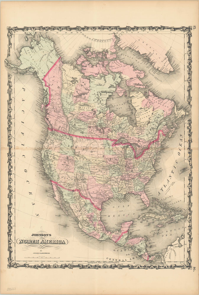
Johnson’s North America
Fabulous map of the United States showing the transitional nature of the American West at the outbreak of the Civil War.
Out of stock
Description
This map shows the North American continent at a period of considerable flux in the mid-19th century. The western territories in the United States were constantly shifting, providing a significant challenge contemporary cartographers like A.J. Johnson. This edition, published in 1861, shows antiquated borders between Nevada and California, while the extent of the Washington, Dakota and Nebraska territories have changed substantially from the 1860 edition. The following year, West Virginia would be admitted to the Union, adding yet another required update to the engraving.
Mexico and Canada are also undergoing changes in political organization at the time this map was issued. After the overthrown of Santa Anna in 1855, the newly formed Liberal Government of Mexico pursued a policy of increased economic freedoms, constitutional reform, reducing the Church’s role in education and redistribution of lands under monopoly. This change led to the Reform War, a civil conflict that lasted from 1857-1860 and led the losers to invite the French into their country. On the opposite end of the continent, the British colonial government was desperately trying to maintain control over land in the west where gold had recently been discovered, adding short lived territories that would sometimes last only a couple years. Less than a decade after publication, the dispersed colonial territories would be consolidated into the Confederation of Canada.
Map Details
Publication Date: 1861
Author: A.J. Johnson
Sheet Width (in): 18
Sheet Height (in): 26.5
Condition: B+
Condition Description: The map is in very good shape, with some wear and tears along the centerfold (repaired on verso).
Out of stock

