
Johnson’s China and Japan
$150.00
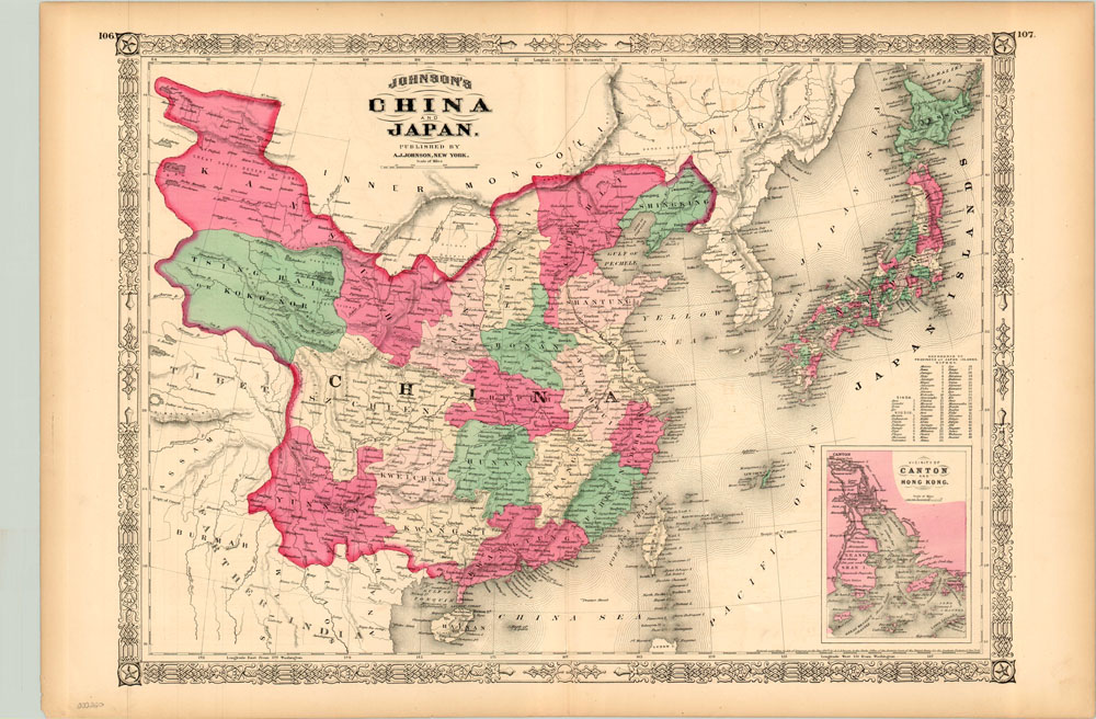
Hand colored map of China and Japan from A.J. Johnson’s popular Illustrated Family Atlas.
Description
Alvin Jewett Johnson (and later, his son) was a prolific American map publisher active during the second half of the 19th century, when he produced a number of pocket maps, wall maps, and his New Illustrated Family Atlas. This map is taken from that publication and shows China and Japan, both in a period of great internal flux. China was still recovering from the effects of the Taiping Rebellion (1851 – 1864), which saw over 20 million killed in one of the deadliest revolutions of all time. Central authority within the country had eroded, and the independently colored provinces were largely under the military domination of local warlords.
Japan was undergoing a change in the opposite direction. The arrival of Matthew Perry’s fleet in 1853 and the heavy handed actions imposed via forced treaty undermined the collective power of the shogunate. Several factions united under the banner of the emperor, and in 1868 Meji was restored to supreme power. The fifteen year old emperor was heavily influenced by capable advisers who pushed Japan to become a modernized state capable of standing its own against the West. An inset map of Hong Kong is a poignant reminder of the British presence in the region, the pressure from which was a motivating factor for much of the social and political change.
Map Details
Publication Date: 1868
Author: A.J. Johnson
Sheet Width (in): 26.5
Sheet Height (in): 18
Condition: A-
Condition Description: The map is in excellent condition with minor soiling around the outer edges consistent with age.
$150.00