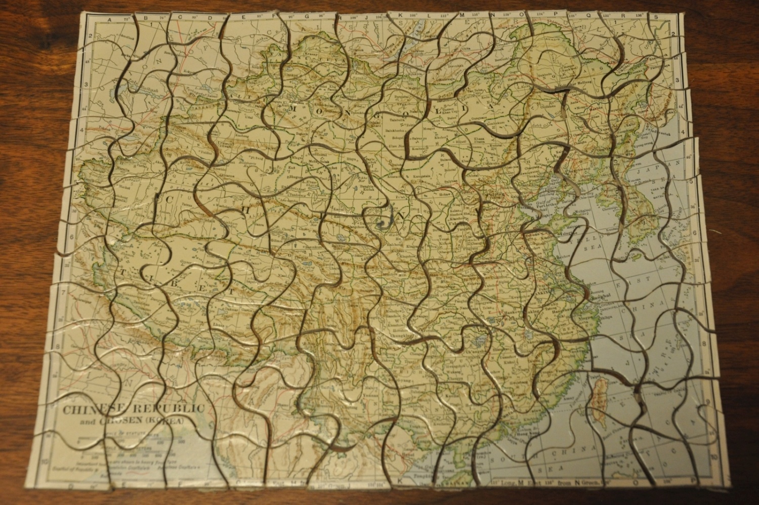
Jig Map of Republic of China
A surprisingly difficult jig-saw puzzle map of China.
Out of stock
Description
This ‘educational’ and ‘recreational’ jigsaw puzzle map of China was issued by The Standard Atlas Company of Cleveland, Ohio in the late 1920’s or early 1930’s, based on the Nationalist capital at Nanking and the omissions of any references to Japanese Manchukuo or the Chinese Soviet Republic.
The result of the approximately 250 pieces provides a detailed overview of the country just a few decades after independence, with railroads, topographic details, and a variety of places names noted within the image.
Beware to all those with fat fingers who attempt this puzzle – it took this writer well over the ‘normal’ 2 hour time to complete because of how small and delicate the pieces fit together!
Map Details
Publication Date: c. 1930
Author: Standard Atlas Co.
Sheet Width (in): 10.5
Sheet Height (in): 9
Condition: A
Condition Description: Complete jig saw map with original box and publisher's flyer. Very good condition overall, with creased corners or small chips in the paper on the backing of a few pieces that does not affect their functionality.
Out of stock


