Japan & Corea
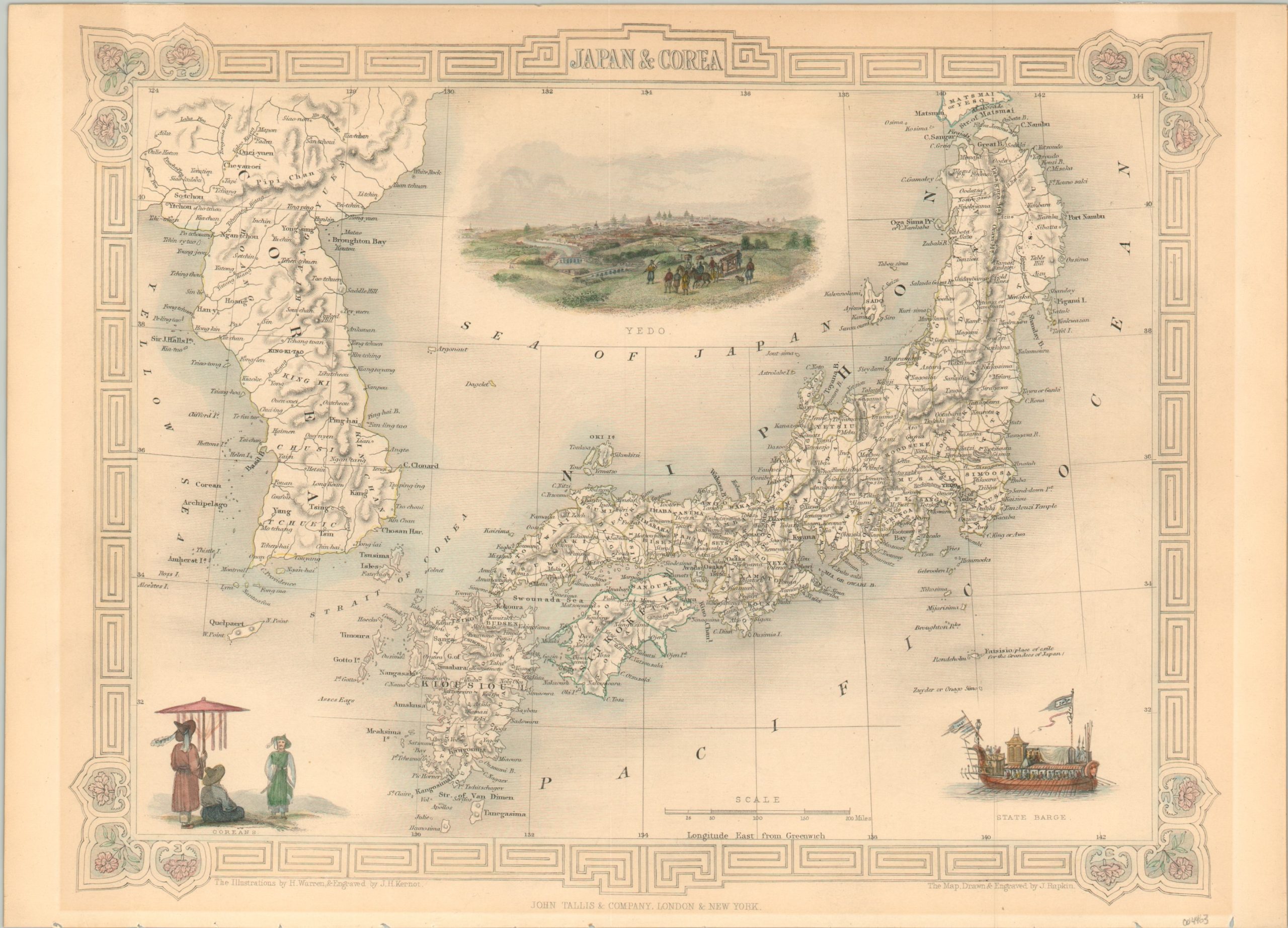
Decorative steel-engraved map of Japan and Korea from Tallis’ Illustrated Atlas.
Out of stock
Description
This attractive mid-19th-century map shows the extent of western geographic knowledge about the nations of Japan and Korea. Both kingdoms, under the Edo and Joseon dynasties, respectively, practiced strict policies of isolationism and available data was often limited to coastal sightings, missionary and merchant journals, and sparse astronomical observations.
Japan is more comprehensively mapped, when compared to Korea, and shows a robust transportation network connecting a well-settled archipelago. Topography is depicted in hachure and a variety of place names are labeled with toponyms that often reflect literal pronunciations. Of particular interest is the isle of Fatsisio (modern-day Hachijō-jima) in the Pacific Ocean. An annotation identifies the remote island as a “place of exile for the Grandees of Japan”, but by the time of publication, it was being used as an all-purpose prison for a range of convicts.
Illustrated vignettes in the negative space show aristocratic Korean costumes, a state barge of the Japanese emperor, and an incredible early bird’s eye view of Yedo (Tokyo). The illustrations were designed by H. Warren and engraved by J.H. Kernot. The map was drawn and engraved by John Rapkin for publication in John Tallis’ Illustrated Atlas around 1850.
Map Details
Publication Date: c. 1850
Author: John Tallis
Sheet Width (in): 14.3
Sheet Height (in): 10.25
Condition: A-
Condition Description: A bit of light discoloration visible around the outer edges as a result of matte burn. Several tiny chips in the bottom edge from where previously bound. Very good overall, with original color.
Out of stock

