Jackson Park, Ill-Ind.
$90.00
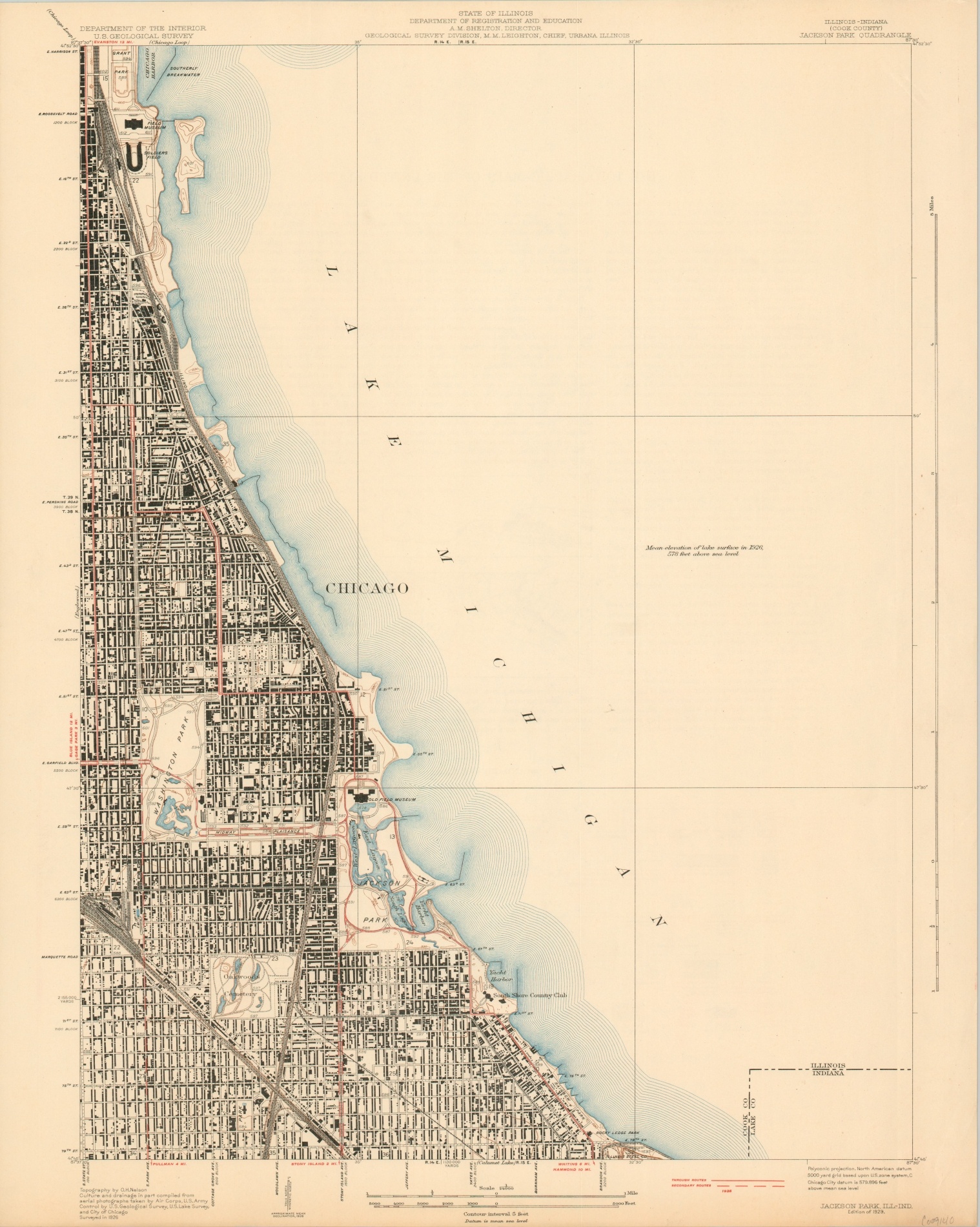
U.S.G.S. topographic map of Chicago’s south side from 1929.
1 in stock
Description
This detailed map of the southern extremities of Chicago, Illinois shows a fascinating snapshot of the city at the end of the Roaring ’20s and shortly before Black Friday ushered in the Great Depression. The emphasis is on Jackson Park, the former site of the 1893 World’s Fair, but extends as far north as Museum Campus.
Buildings are individually outlined, roads are shown according to their surface composition (further info lower right), and geographic information is transmitted via pictorial elements and contoured topography. Locations of interest within the image include the Old Field Museum, Illinois Steel Company, Soldier Field, and South Shore Country Club.
The map was originally published in 1929 by the United States Geological Survey under the authority of O.H. Nelson.
Map Details
Publication Date: 1929
Author: United States Geological Survey
Sheet Width (in): 19.8
Sheet Height (in): 24.75
Condition: A-
Condition Description: Toned around the outer edges, consistent with age. Very good overall.
$90.00
1 in stock