J.M.E. Riedel’s New Street Number Guide Map of Fort Wayne
Fort Wayne, Indiana during the Prohibition Era.
Out of stock

Description
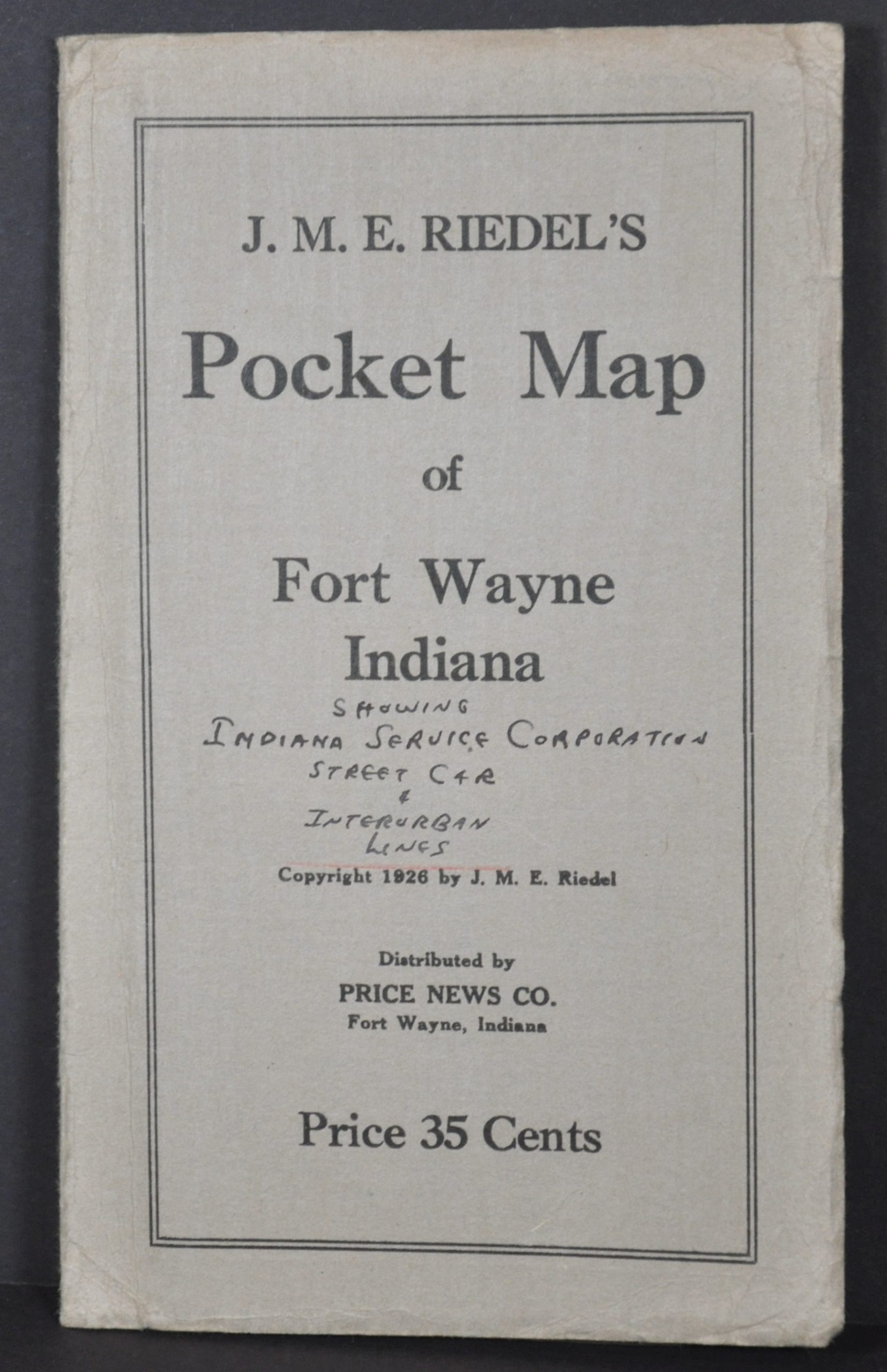
This lovely street plan of Fort Wayne, Indiana was copywritten in 1926 by J.M.E. Riedel, with approval by city civil engineer Frank M. Randall. The map was published and distributed locally by the Price News Company. The blue waters of the St. Mary’s, Maumee, and St. Joseph Rivers are highlighted in vibrant printed color, in addition to transportation routes, city limits, parks, and cemeteries.
There is significant railroad infrastructure, reflecting Fort Wayne’s industrial economy. The International Harvester Plant is labeled on the far right, along with other locations of interest like Concordia College and the public library. A mileage table on the front cover offers distances from Fort Wayne to a somewhat confusing mishmash of destinations.
Map Details
Publication Date: 1926
Author: J.M.E. Riedel
Sheet Width (in): 23.75
Sheet Height (in): 21
Condition: A-
Condition Description: Pocket map folded into 18 segments and affixed to original stiff gray paper wraps. About 2" of clean separation along fold lines (repaired on verso) and some scattered discoloration in the lower right, probably as issued. Good to very good condition overall.
Out of stock