
Isle St. Helene
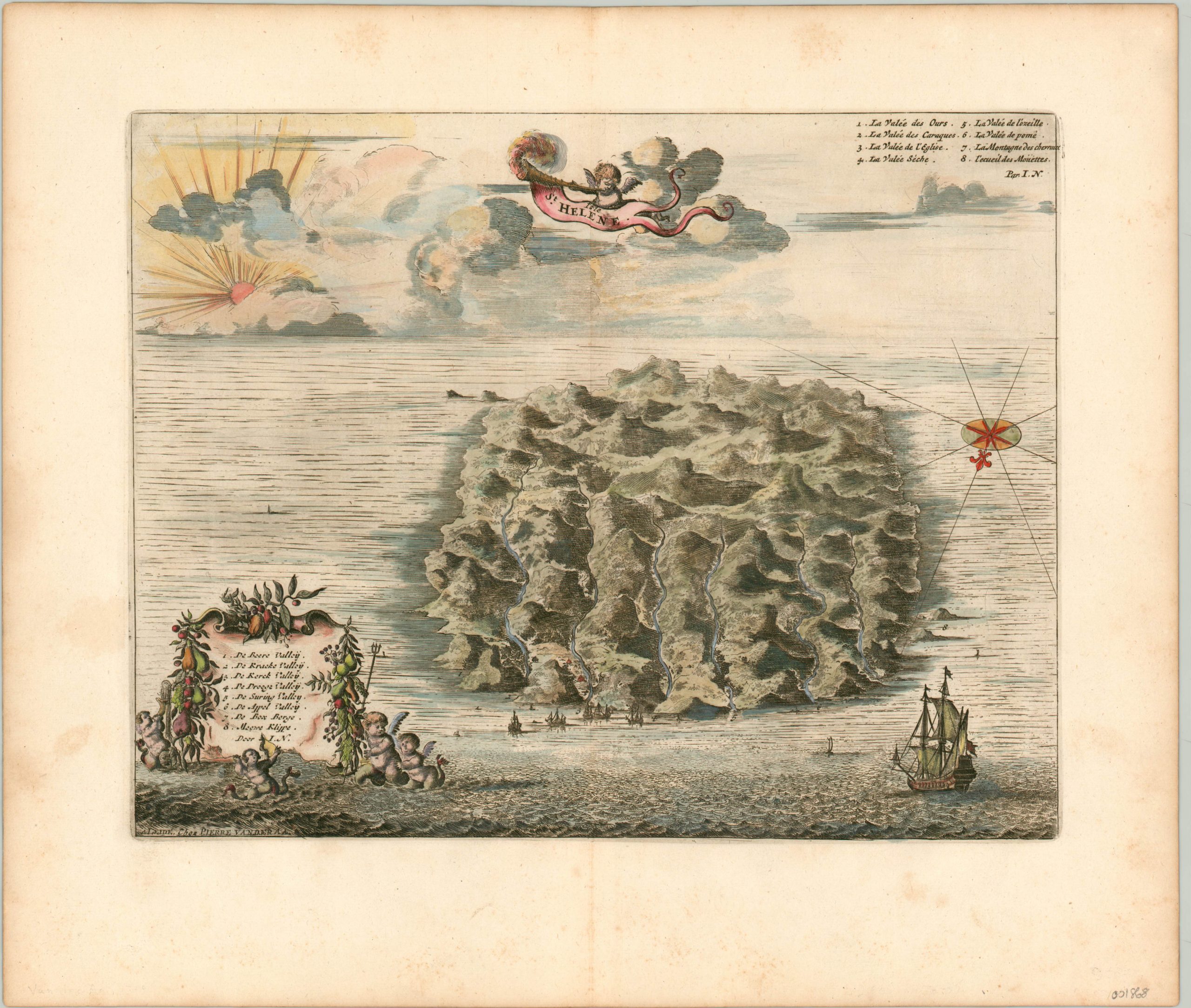
Dramatic view of the isolated island of St. Helena in the Atlantic Ocean.
Out of stock
Description
Situated about 1,200 miles off the coast of Africa, the remote island of St. Helena is best known as the final home of Napoleon Bonaparte, who was banished to the island in 1815. It’s shown here about a century earlier, though the rugged topography had likely changed little in the intervening 100 years. The island is oriented with south at the top, so the harbor and settled portions are in the foreground, along with several sailing ships.
Though the image presents a justifiably isolated locale, by the time of publication St. Helena had been used regularly as a stopover point for some time. The British East India Company established the first permanent settlement on the island in 1659, and fifty years later the population had likely grown to nearly 1,000 inhabitants.
The copperplate engraved map was published in 1719 by Pieter Van der Aa for inclusion in Voyages célèbres remarquables faits de Perse et aux Indies Orientales.
Map Details
Publication Date: 1719
Author: Pieter van der Aa
Sheet Width (in): 15.70
Sheet Height (in): 13.40
Condition: A-
Condition Description: A bit of soiling visible in the margins and faint creasing along the vertical centerfold. Otherwise in excellent condition. Issued on watermarked paper and featuring fine hand color.
Out of stock