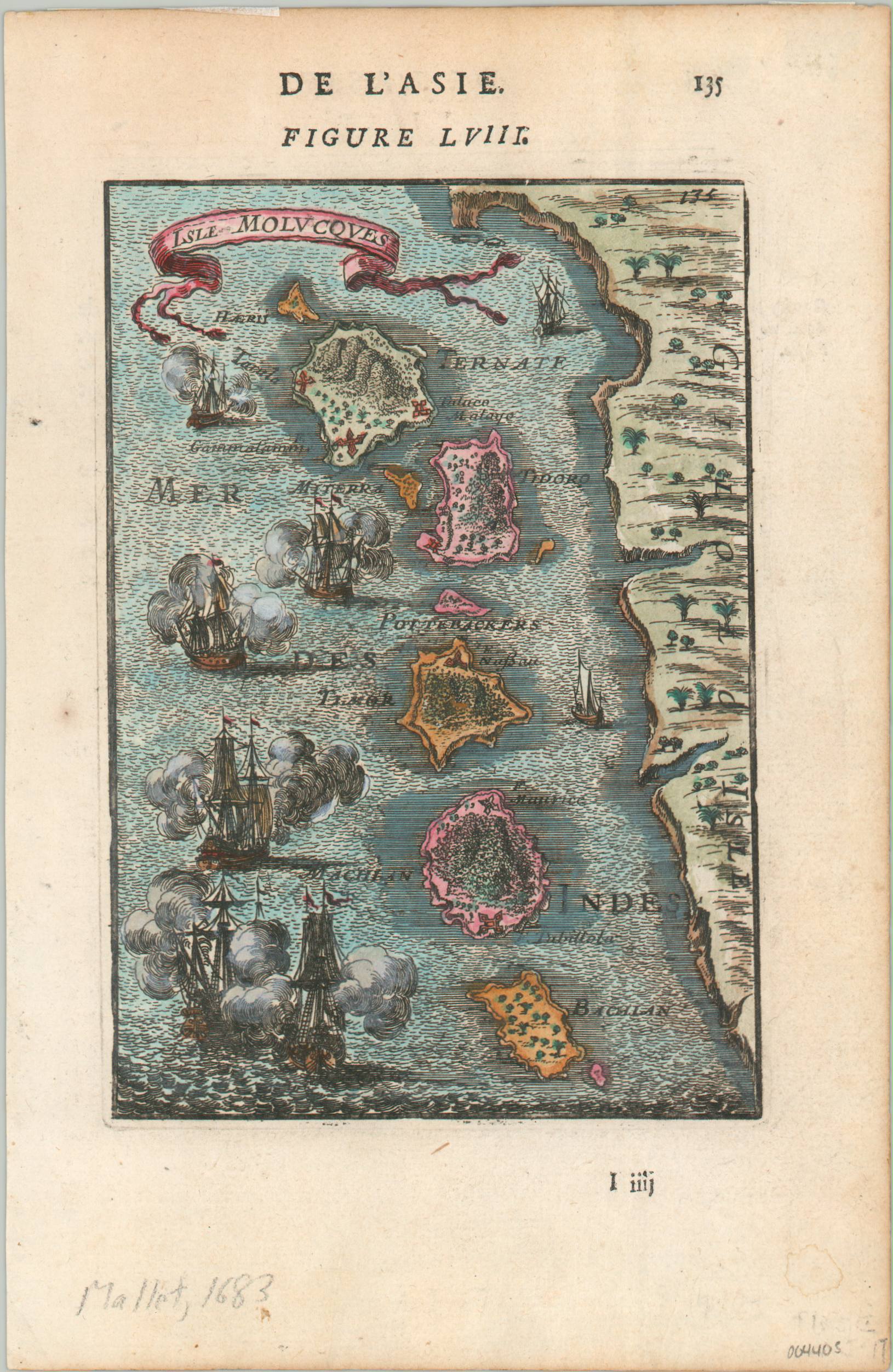
Isle Moluccas
The riches of the Spice Islands in the late 17th century.
Out of stock
Description
This fascinating woodcut map shows the continent of Africa about a century after the Portuguese first rounded the southern tip during their search for access to lucrative markets in the Far East. Surprisingly, coastal details are relatively limited, though the European presence during the 16th was largely limited to forts and factories accessible by sea.
The interior of the continent reflects the geography of the ancient Greek scholar Claudius Ptolemy, including the adoption of the Mountains of the Moon (Lunes Montes) – supposedly the source of the Nile River. Various kingdoms and regions are labeled, the latter reflecting Roman political organization in the north. Only two cities are identified – Alexandria (Ptolemy’s home) and Tagaza on the Senegal River, an important source of salt.
Map Details
Publication Date: 1683
Author: Alain Manesson Mallet
Sheet Width (in): 5.25
Sheet Height (in): 8
Condition: A-
Condition Description: Light toning around the outer edges of the sheet and a few faint spots visible in the margins. Very good condition with attractive hand color.
Out of stock

