
Irrigation in Egypt
$200.00
A late 19th century analysis of the irrigation infrastructure across Egypt.
1 in stock

Description
“I have stated above that the great works of irrigation in Egypt have been heretofore badly arranged. European engineers of every nationality, and among others distinguished French engineers, have attempted for a long time to create an organization for the system, and have elaborated for this purpose numerous projects, but although they have done much to perfect the method of using the Nile water, they have usually been hindered in this enterprise by either the will of the sovereign, the intertia of the propreitors, or the resistance of the population.” – pg 8.
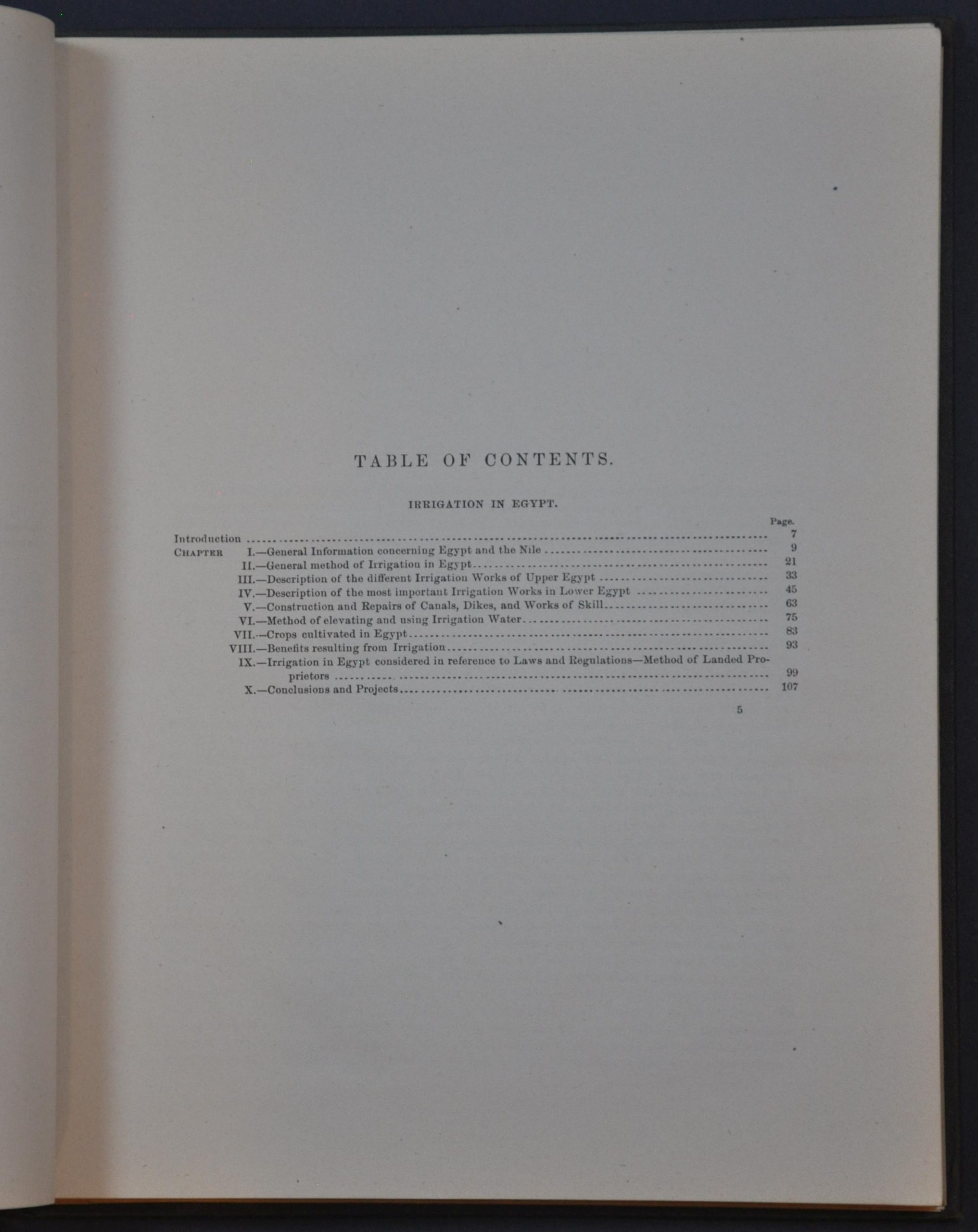
This interesting analysis of Egypt’s irrigation systems and policies was originally authored in 1887 by French Engineer M.J. Barois, principal secretary to the Ministry of Public Works. This is an English translation compiled by Major A.M. Miller of the U.S. Corps of Engineers and published by the Government Printing Office in 1889. Just a few years prior to publication, in 1882, the British military occupied Egypt following the Urabi Revolt. Britain’s primary goal was to stabilize Egypt’s finances so it could pay back its European bondholders, but in doing so, it began to usurp France’s longstanding influence in the country. Cotton was the primary cash crop to facilitate this repayment, and significant consideration was given to the various ways to maximize multiple harvests using perennial irrigation.
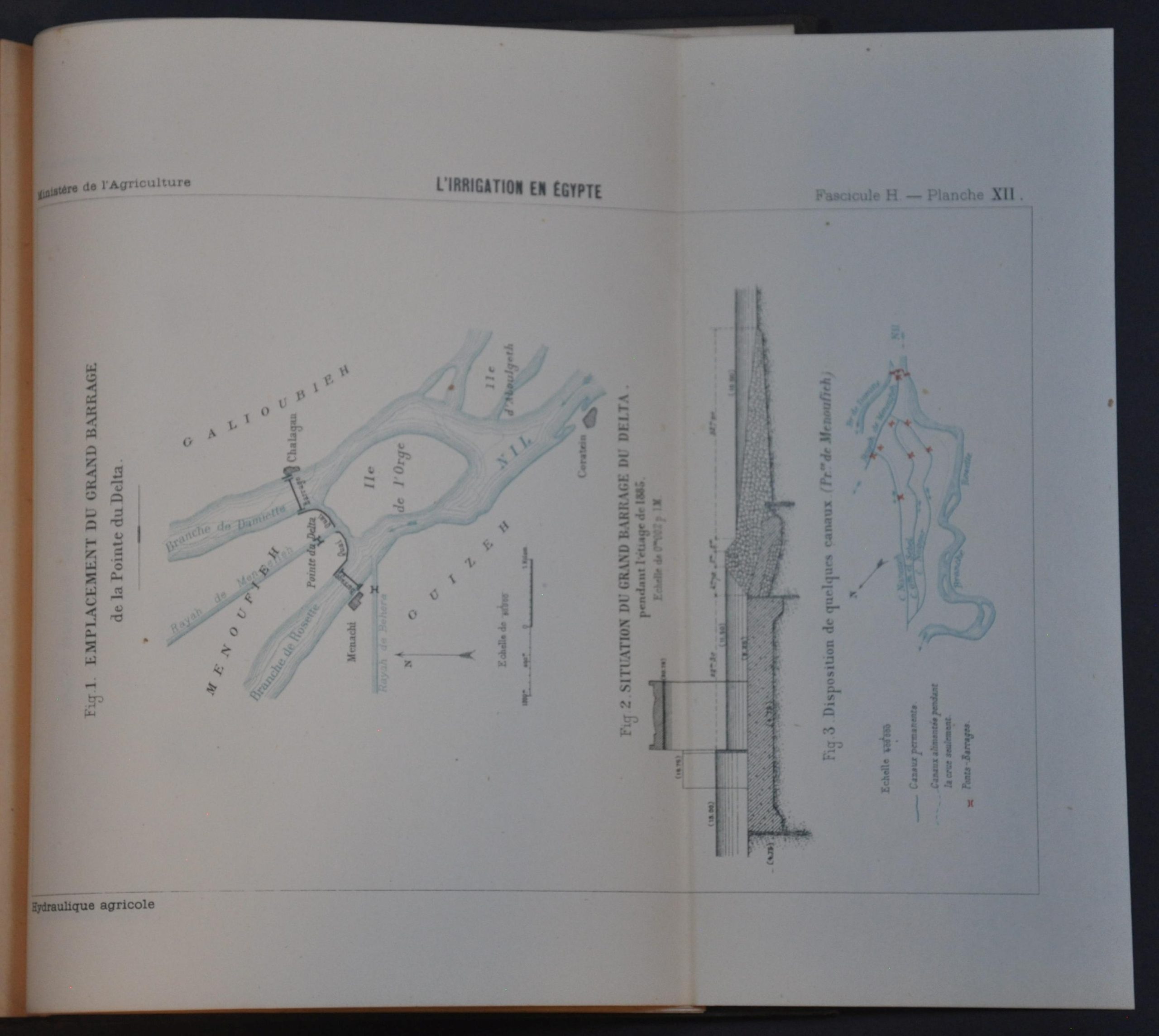
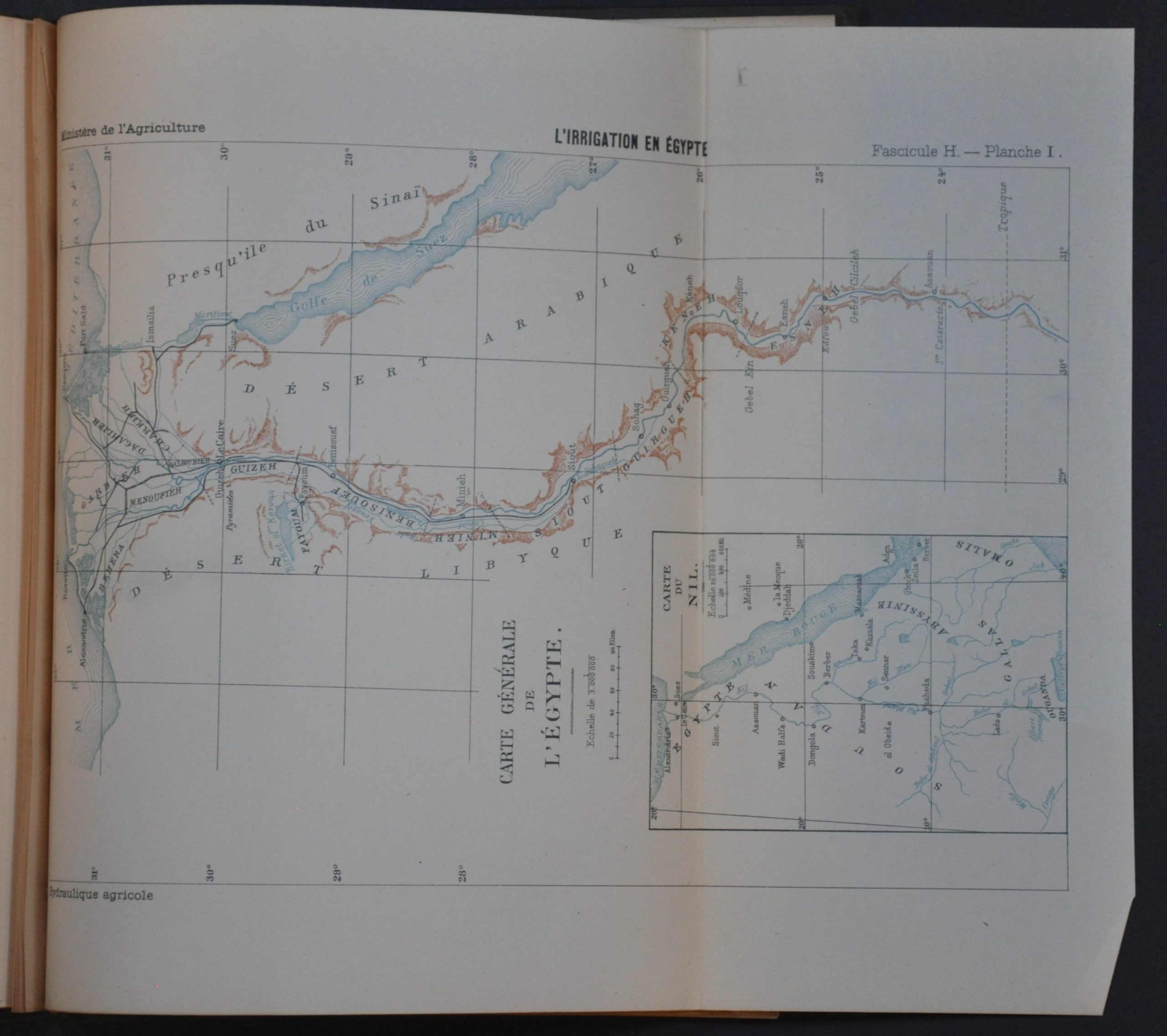
Barois’ assessment is rather jingoistic in tone, opening with an argument that irrigation technology in Egypt had been stagnant since the time of the pharaohs. He carries on to discuss a brief overview of the Nile, provide descriptions of major works, tally agricultural statistics, and present a wealth of suggestions as to the best course of action. The volume concludes with nearly two dozen fold-out maps and diagrams that show the course of the Nile, its delta, pump systems, aqueduct construction, and more.
In addition to criticizing domestic public planning and warning about ongoing progress made by the British, Barois also alludes to the potential applicability of his report “to the deltas of the large rivers of our [French] possessions in the extreme Orient.” France was also hoping to transform the Mekong and Red Rivers in Indochina to into agricultural exporters, highly lucrative for the imperial treasury. It’s possible that the American translator, Miller, had similar ideas, using the report as a practical blueprint for managing water systems ahead of the large-scale reclamation and settlement of the arid American West.
Map Details
Publication Date: 1889
Author: J. Barois/A.M. Miller
Sheet Width (in): 8.75
Sheet Height (in): 11.25
Condition: A
Condition Description: 133 pp. + 22 folding plates bound in original full brown cloth with gilt lettering. Faint toning and very light scattered foxing, consistent with age, and some sharp creasing and light discoloration present on the maps/diagrams. Very good condition overall.
$200.00
1 in stock