Inland Waterways System in Construction
$80.00
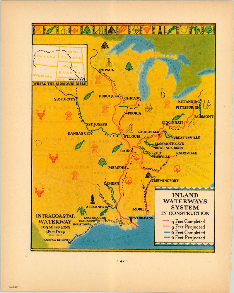
Simplified map of the Central and Midwestern United States showing progress on the Inland Waterways System.
Description
Showing the area from Corpus Christi to Pittsburgh and Sioux City to Mobile, the focus of this map is on the various waterways snaking throughout the central United States. Initially, these rivers played an important role in the development of the region, allowing for easier transportation and dictating early settlement patterns, especially along the Ohio and Mississippi Rivers. The introduction of the steamboat and a wave of canal building added further to the economic benefit these waterways provided the country. Eventually, rail lines would surpass many of these canals for transportation purposes, but a need for navigable river routes would persist well into the 20th century and today.
This map represents the ongoing efforts of the government to modernize these waterways by digging them to uniform depths of either 9 feet or 6 feet, depending on the shipping needs. Eventually, the Inland Waterways System would be comprised of over 25,000 miles of navigable rivers throughout the United States.
Map Details
Publication Date: 1931
Author: Fortune Magazine
Sheet Width (in): 11
Sheet Height (in): 14
Condition: A
Condition Description: The map is in great condition, with ragged edges on the right side where it was originally bound.
$80.00

