Initialization Map and City Reference Chart
$75.00
Introducing personal navigation to the consumer market.
1 in stock
Description
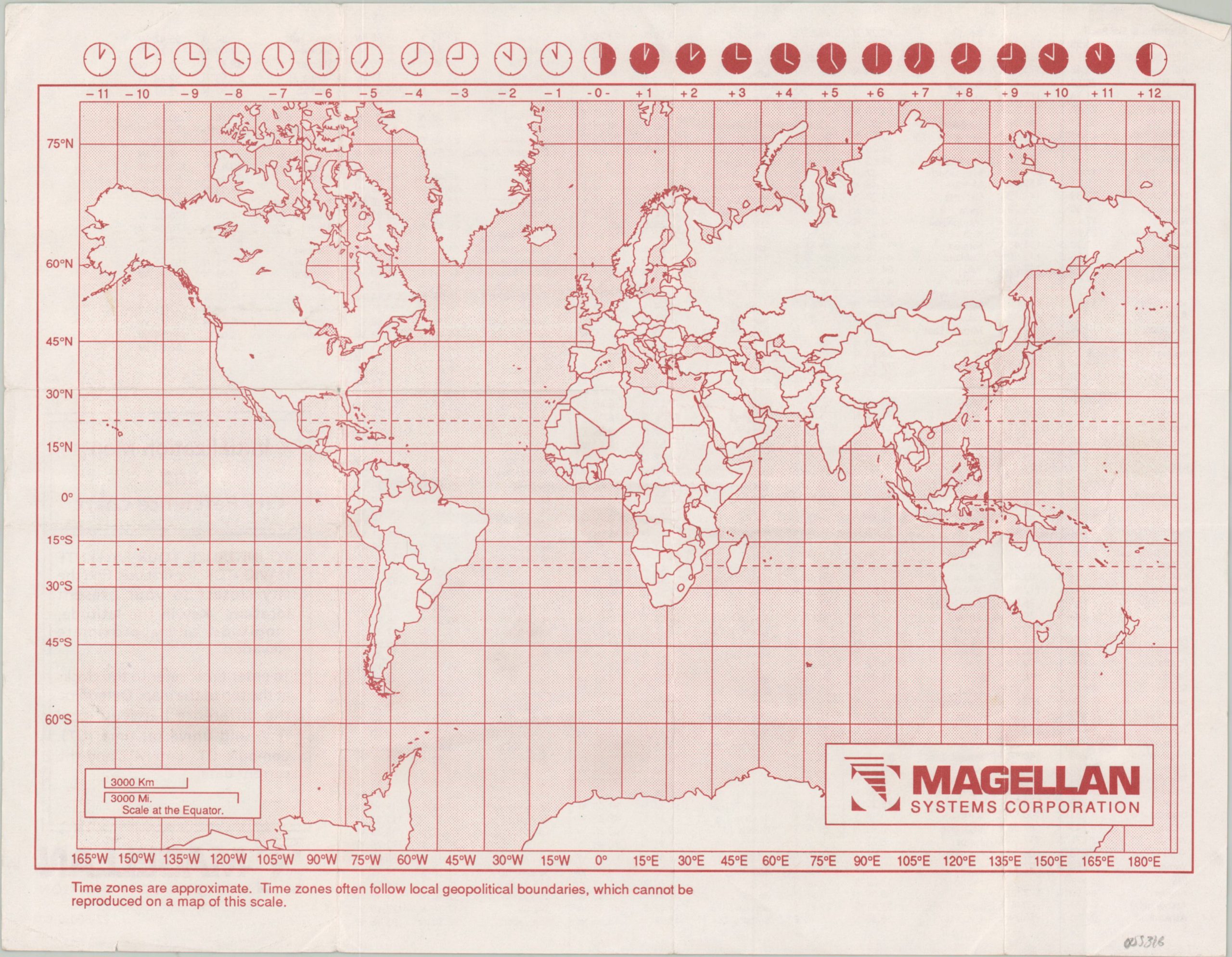
This simple map of the world was created by Magellan Systems Corporation to accompany one of its early model satellite navigation systems. The company first introduced the revolutionary handheld Global Positioning System (GPS) device in 1986, but it wasn’t widely available to the consumer market until the early 1990s.
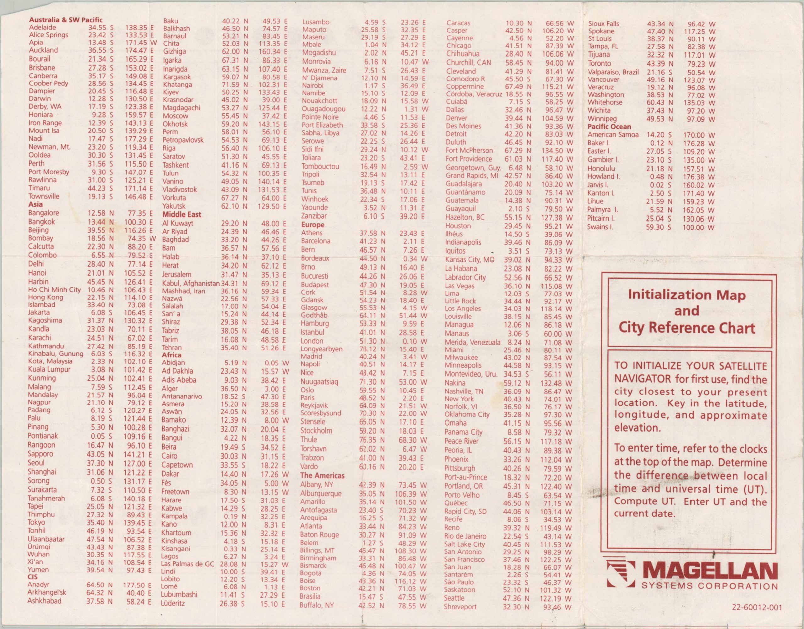
The map’s relevant element, according to text on the verso, is the distribution of time zones, and even that is not presented very well (note the caveat at the bottom). The verso includes a list of major cities with their respective latitude and longitude, necessary to initialize the satellite navigator for the first time.
Map Details
Publication Date: c. 1990s
Author: Magellan Systems Corporation
Sheet Width (in): 11
Sheet Height (in): 8.4
Condition: B+
Condition Description: Creasing and moderate wear along originally issued fold lines. Some light scattered soiling, creased corners, and tiny edge tears. Good to very good overall.
$75.00
1 in stock


