
Indiana
$200.00
One of 24 different state pictorials designed to promote the products of the Mentholatum Company.
1 in stock
Description
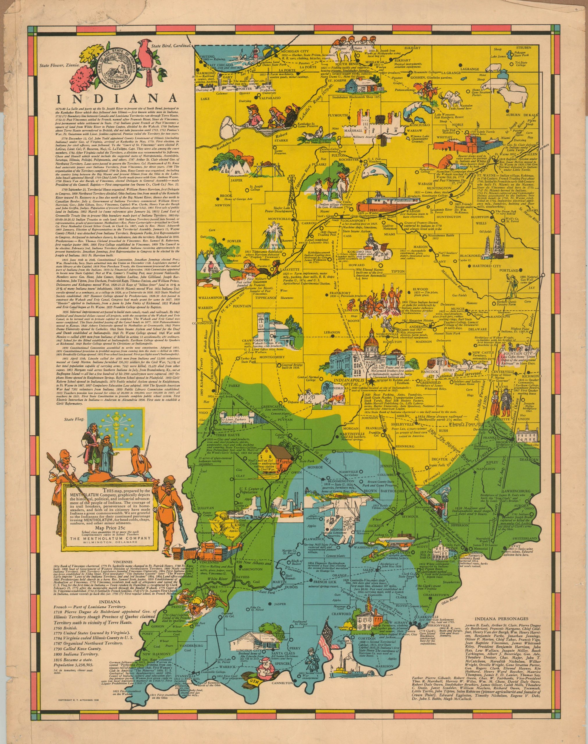
This interesting combination of historical poster, pictorial map, and advertising piece was copyrighted in 1938 by R.T. Aitchinson and published by the Mentholatum Company of Wilmington, Delaware. A brightly colored image uses three shades to highlight the progress of settlement across the Hoosier State, which spread from the South (along the Ohio River) up north to the shoreline of Lake Michigan. Small vignettes celebrate local industries, historic sites, and recreational opportunities. Accompanying “educational” text provides a chronology of Indiana’s rich history – almost exclusively European. According to Dr. Stephen Hornsby;
“The historical impulse was so great in the thirties that the Mentholatum Company, taking the opportunity to market products such as Mentholatum Lip Care to school children, hired historian and printer Robert T. Aitchinson to design pictorial maps showing the history of individual states. Between 1936 and 1941, Aitchinson produced twenty-four maps illustrating twenty-seven states.”
Source: Picturing America: The Golden Age of Pictorial Maps by Stephen Hornsby
Map Details
Publication Date: 1938
Author: R.T. Aitchinson
Sheet Width (in): 17.50
Sheet Height (in): 22.50
Condition: B
Condition Description: Color printed map on a single-sided sheet with heavy marginal wear. A large irregular tear in the upper left corner has been repairs on verso, plus several small pinholes. About good condition overall.
$200.00
1 in stock