
Indian Tribes of North America
Redefining tribal boundaries across North America in the mid-20th century.
Out of stock

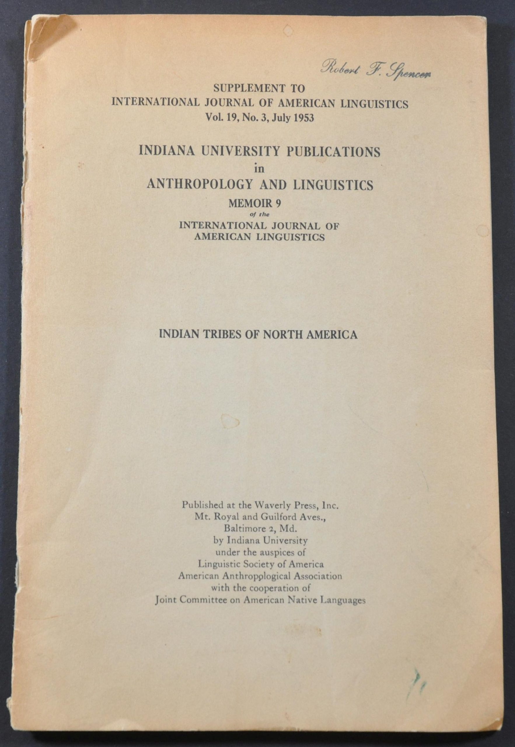
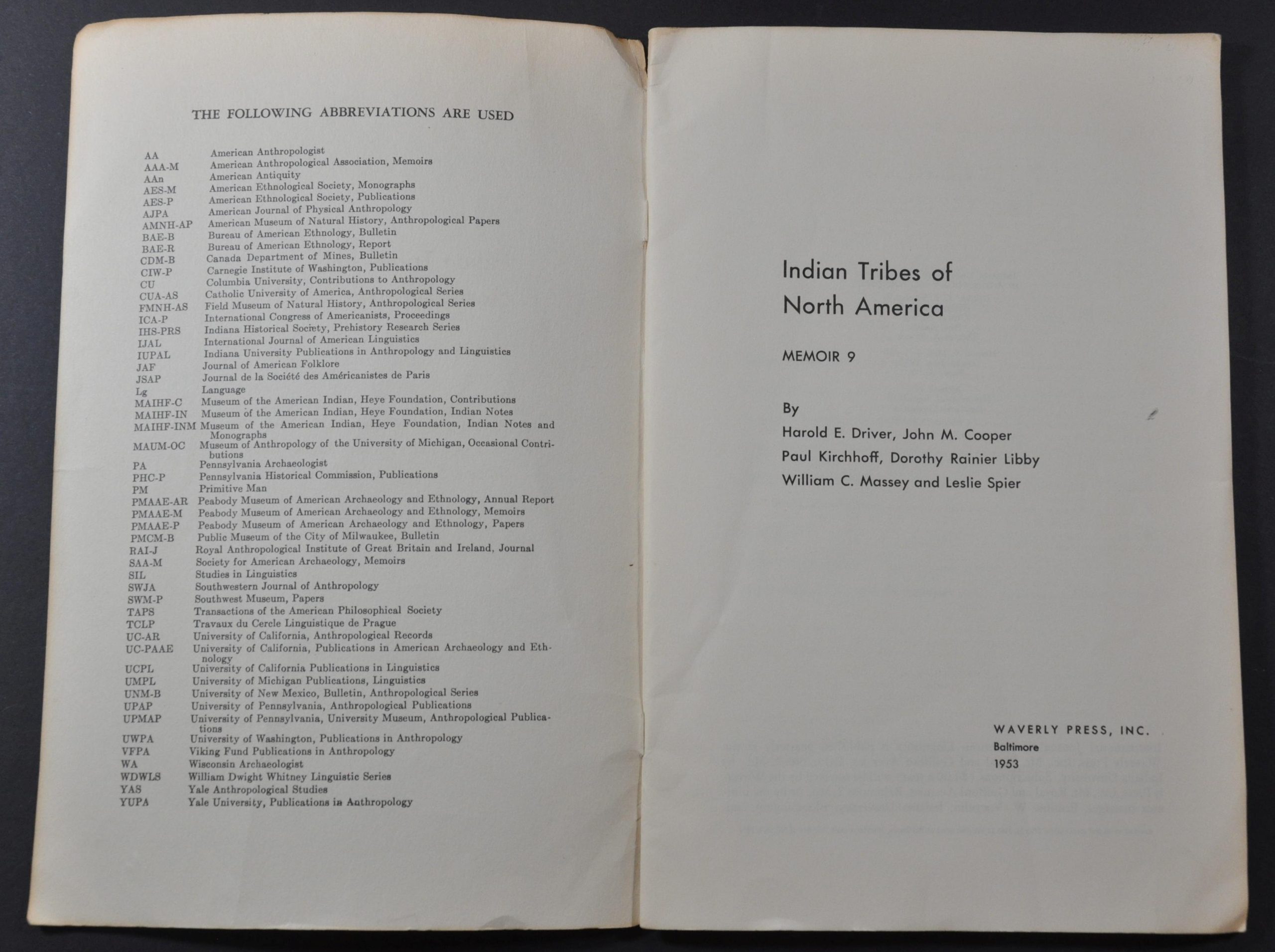
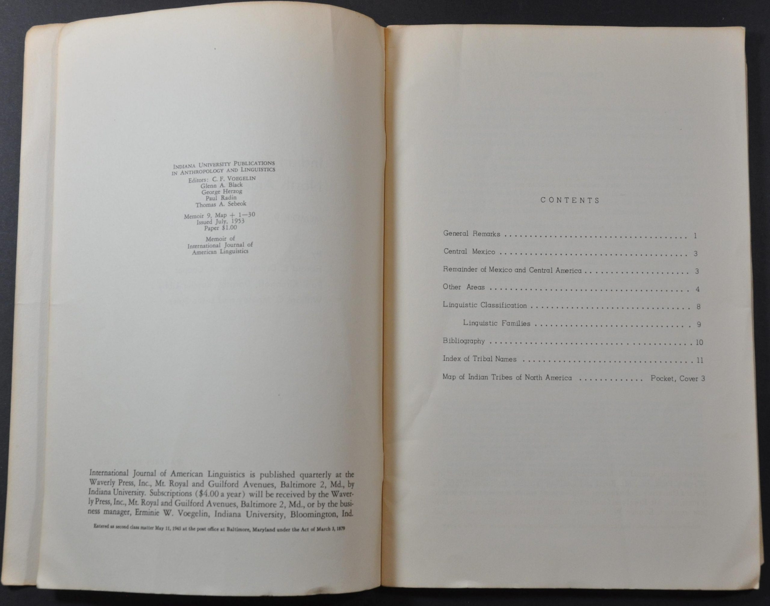

Description
“The present map of the Indian tribes of North America is the fourth to appear showing definitely bounded tribal territories. The first was that of Kroeber, prepared in 1931 and not published until 1939; the second that of Murdock prepared in 1937 and published in 1941; and the third the linguistic map of the Voegelins, published in 1941.” – Harold E. Driver.
This fascinating map of North America was designed to accompany Memoir 9 of the Indiana University Publications in Anthropology and Linguistics in 1953. It represents the tremendous collaborative efforts of Harold Driver, John Cooper, Paul Kirchhoff, Dorothy Libby, William Massey, and Leslie Spier as they attempted to outline the territories of Native American tribes.
Nearly 240 are identified in total throughout the image! The contents of the memoir provide general remarks (including on the map’s limitations), a bibliography, linguistic classifications, and an index of tribal names. A second outline map is also included, but not referenced in the table of contents.
Map Details
Publication Date: 1953
Author: Driver, Cooper, Kirchhoff, Libby, Massey, Spier,
Sheet Width (in): See Description
Sheet Height (in): See Description
Condition: A-
Condition Description: 30 pp. printed memoir from Indiana University Press with stapled binding and original brown paper covers. Wraps are chipped in the corners and show some soiling. Includes two folding maps in the back pocket, both of which are in very good condition.
Out of stock