India
$195.00
The waning decades of the British Raj in India.
1 in stock
Description
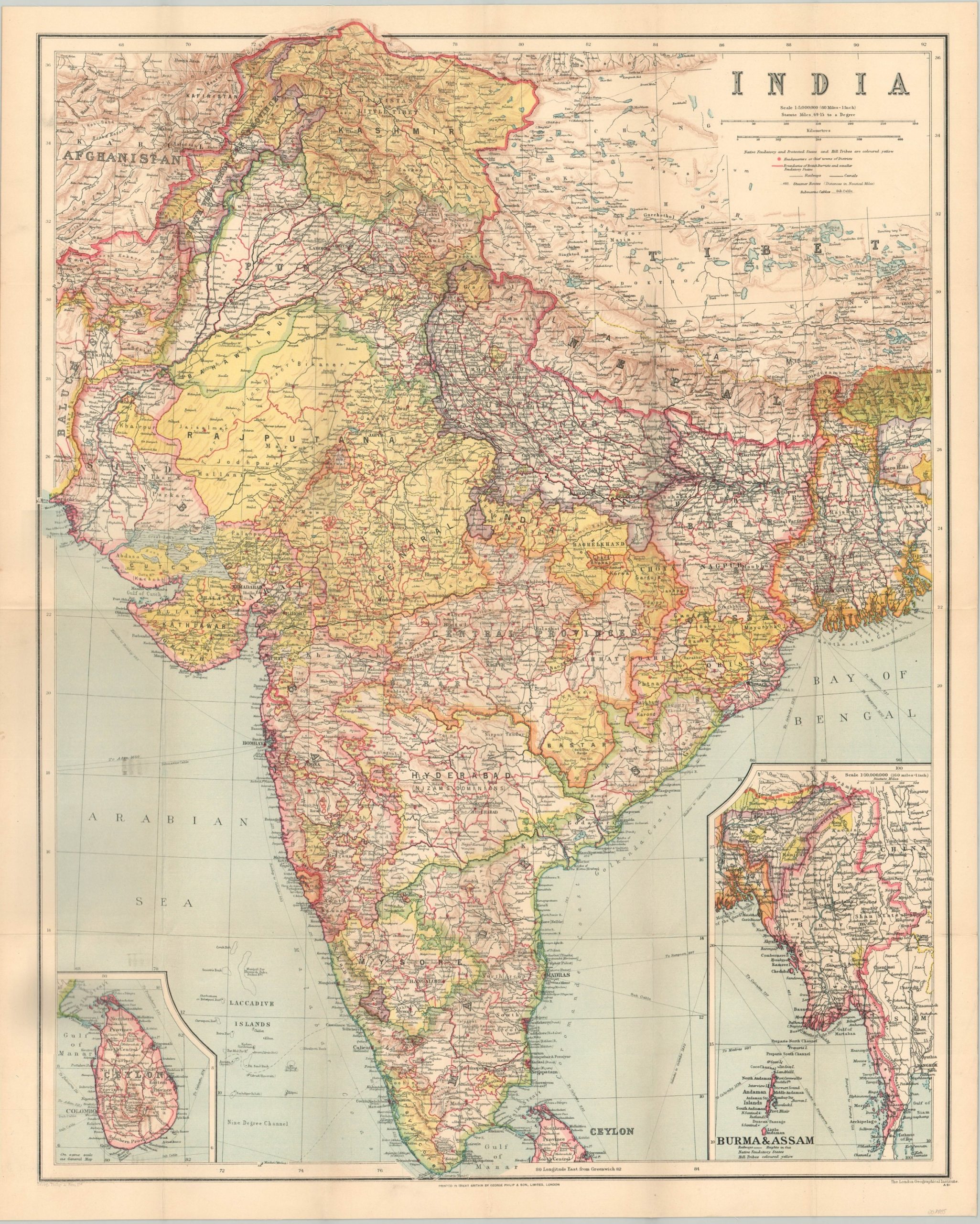
This comprehensive map of India was published in the late 1920s by the London firm of George Philip & Son. Though the interwar years ostensibly brought peace to the British Empire, civil unrest was widespread across the Raj (British-controlled India) and a variety of independence, non-cooperation, and civil disobedience movements gained popularity in the years following the end of the First World War.
The image presents a detailed overview of the transportation routes and political organization of the territory according to its English overlords. Railways, canals, telegraph cables, and steamer lines are identified according to the legend below the title block, which also notes the various symbols and colors used to identify local polities, hill tribes, and protected states. Inset maps in the lower corners show Ceylon (Sri Lanka) and the provinces of Burma & Assam – today a region comprised of India, Bangladesh, and Myanmar.
Map Details
Publication Date: c. 1929
Author: The London Geographical Institute
Sheet Width (in): 20.9
Sheet Height (in): 26.2
Condition: A
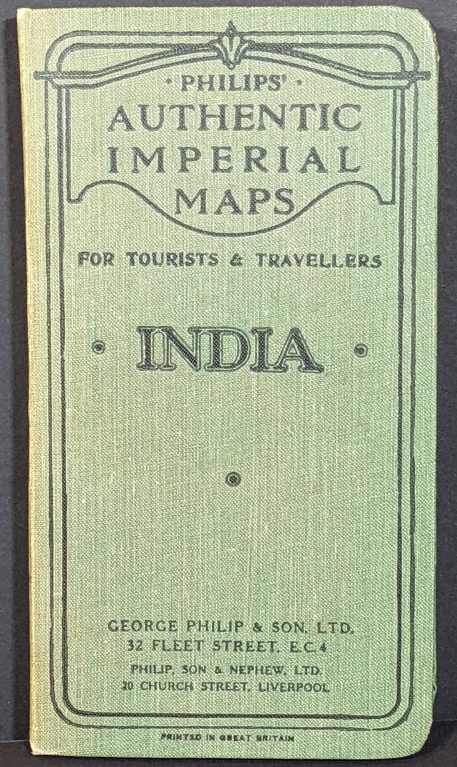
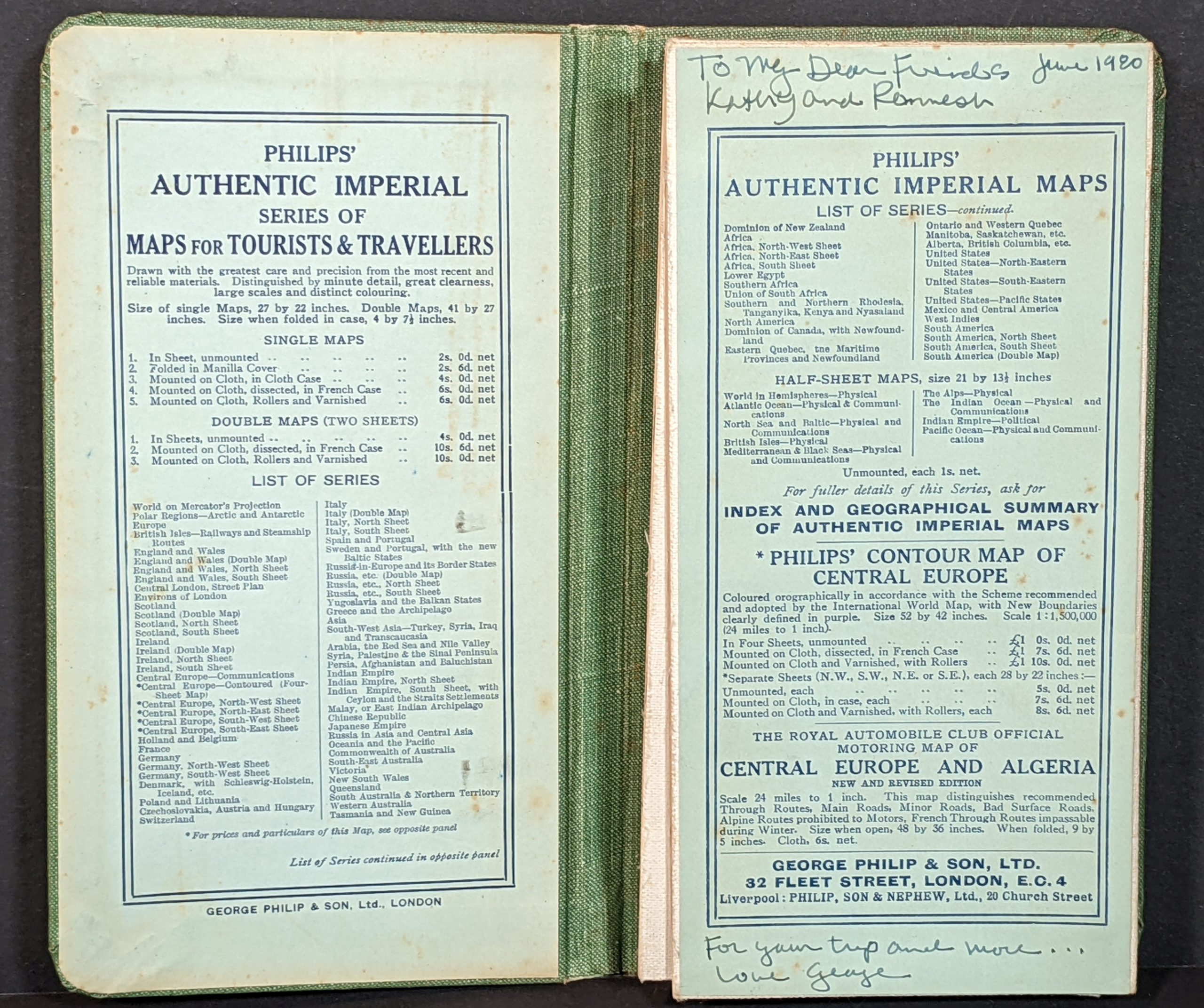
Condition Description: Color lithographed pocket map printed on linen. Folds into 24 segments and tucks into the original green cloth embossed covers. Very good to near fine, with only slight discoloration and a few tiny edge tears confined to the margins.
$195.00
1 in stock


