
Improved E-Z Guide Map of Los Angeles
$150.00
Ingenious street guide to Greater Los Angeles from the late 1920’s.
1 in stock

Description
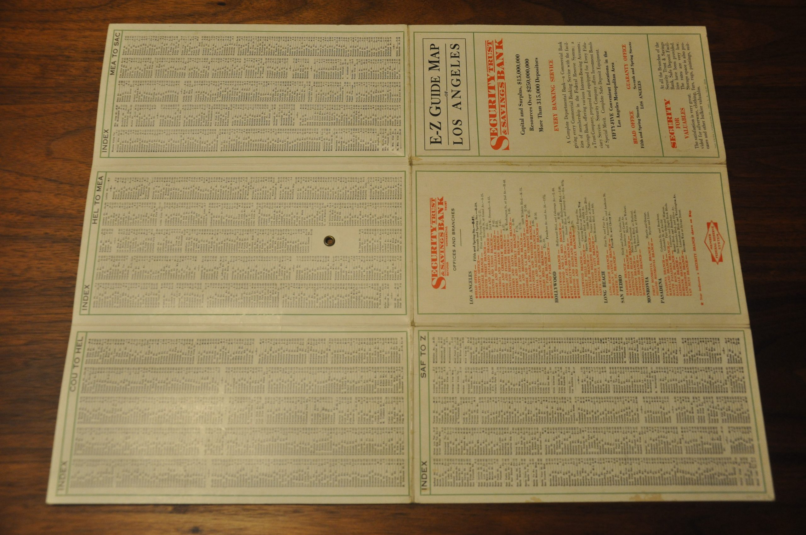
Published as a promotional item for the Security Trust & Savings Bank, this map of Los Angeles and the surrounding cities comes complete with a nifty tool to aid with the identification of any city street. A paper tab in the center of the image rotates around a pivot point to one of 96 numbered circles around the circumference. These letter/number combos then correspond to the hundreds of street names listed in the accompanying tables on the left side and verso.
Important locations of interest are individually labeled, while the best automobile routes and the location of various branches of the Security Trust & Savings Bank are highlighted in red. Published in Los Angeles by the Union Lithograph Company in 1927, licensing the use of the Dial Indicator from the Fred D. Bain Company of San Francisco.
Map Details
Publication Date: 1927
Author: Union Lithograph Co.
Sheet Width (in): 16.75
Sheet Height (in): 12.75
Condition: A-
Condition Description: Originally folded into a six panel brochure. Moderate creasing along fold lines and faint soiling on the verso, but otherwise in fine condition. Includes the original paper tab indicator, which is creased.
$150.00
1 in stock