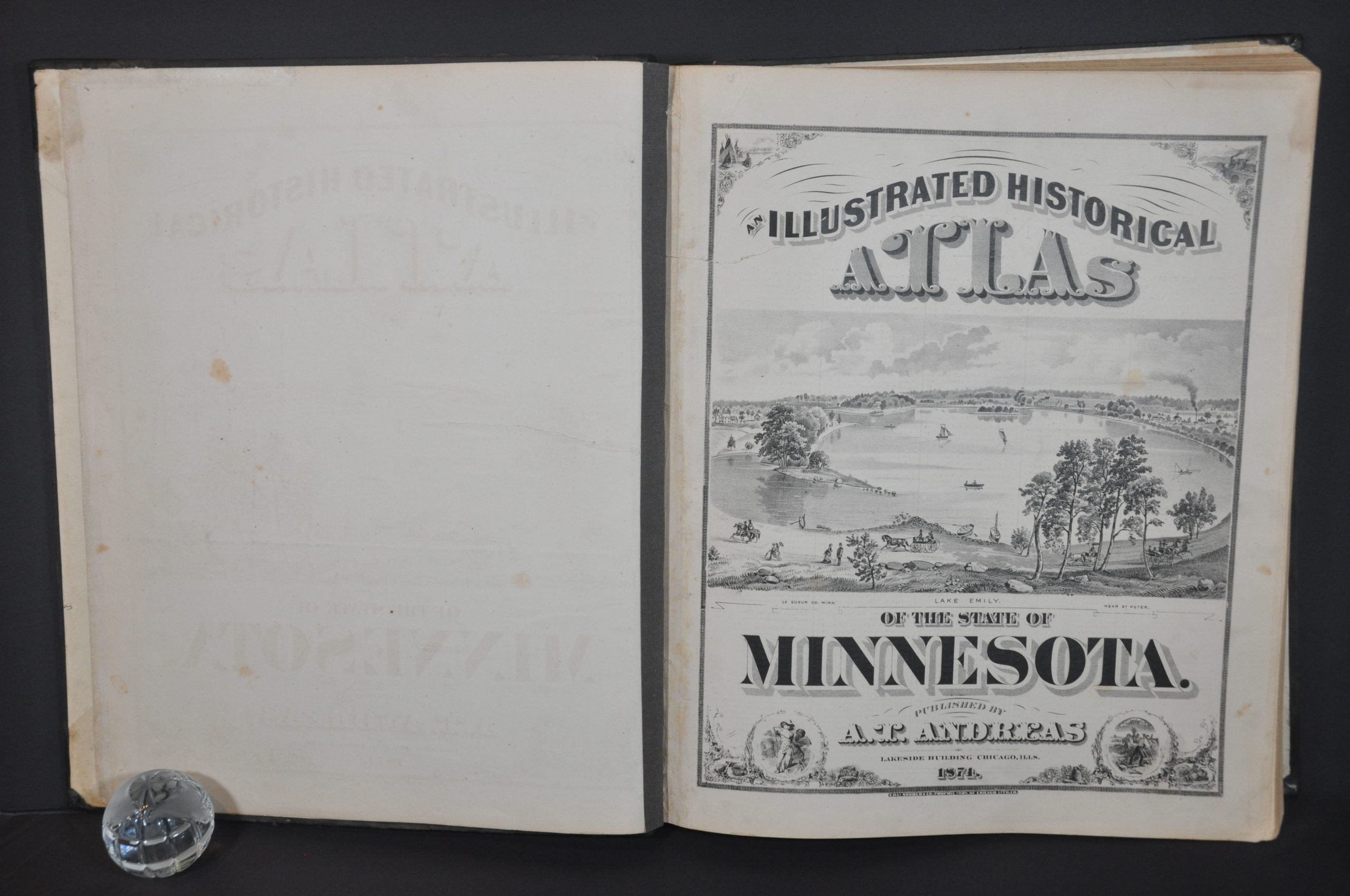
Illustrated Historical Atlas of the State of Minnesota
$1,300.00
Comprehensive state atlas of Minnesota from 1874.
1 in stock


Description
This magnificent atlas of Minnesota was published in Chicago by A.T. Andreas in 1874. Engraving and printing were performed by Charles Shober & Co. and the entire volume was assembled in the city’s Lakeside Building, seen on the final page.
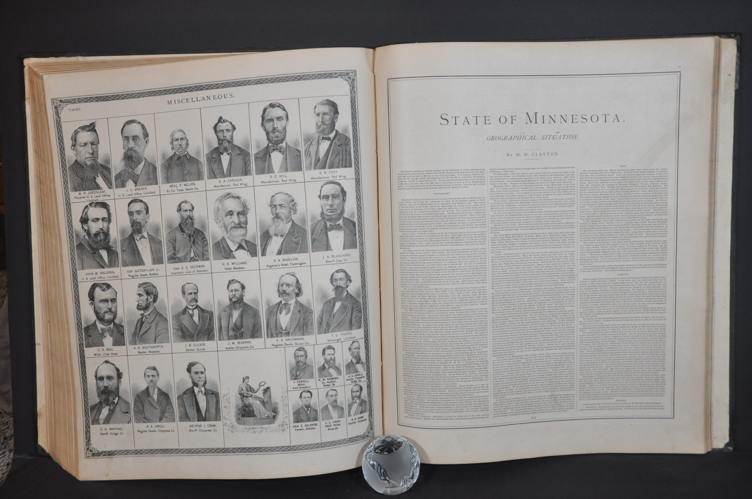
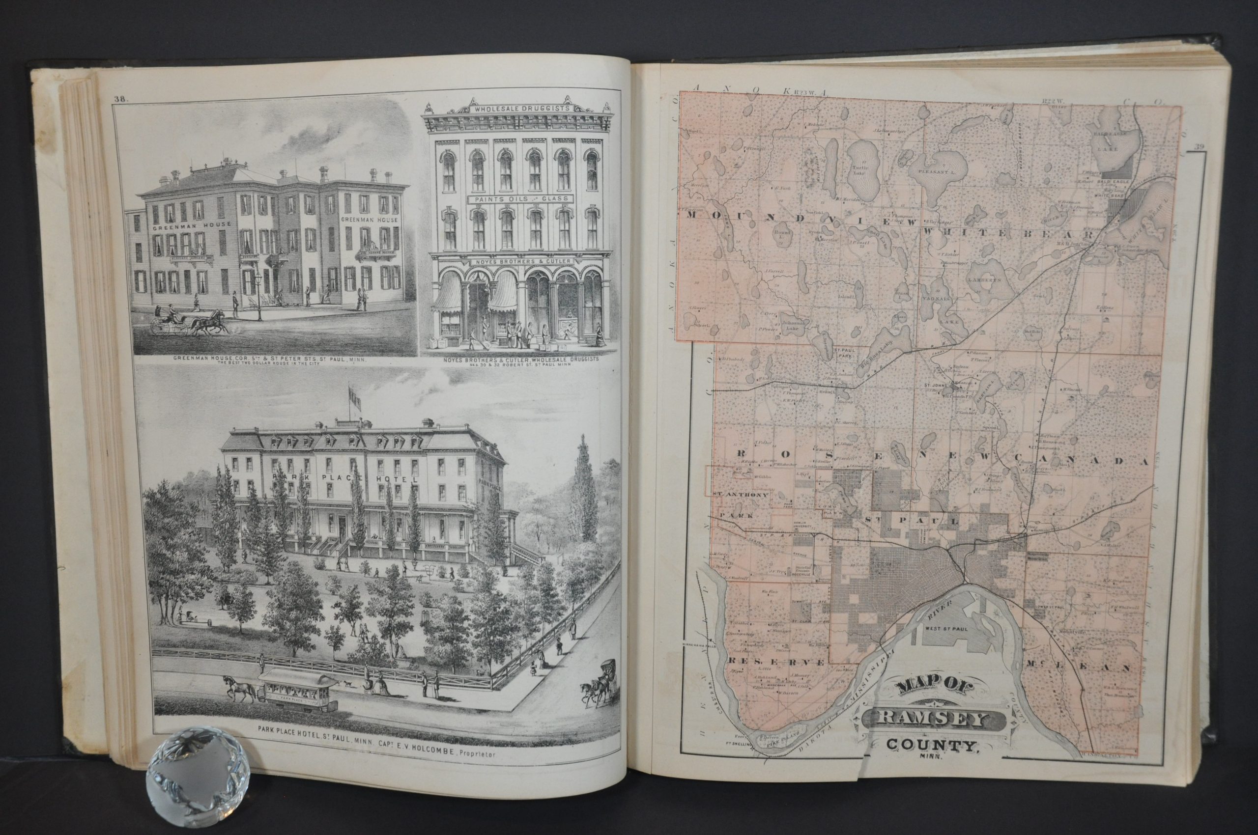
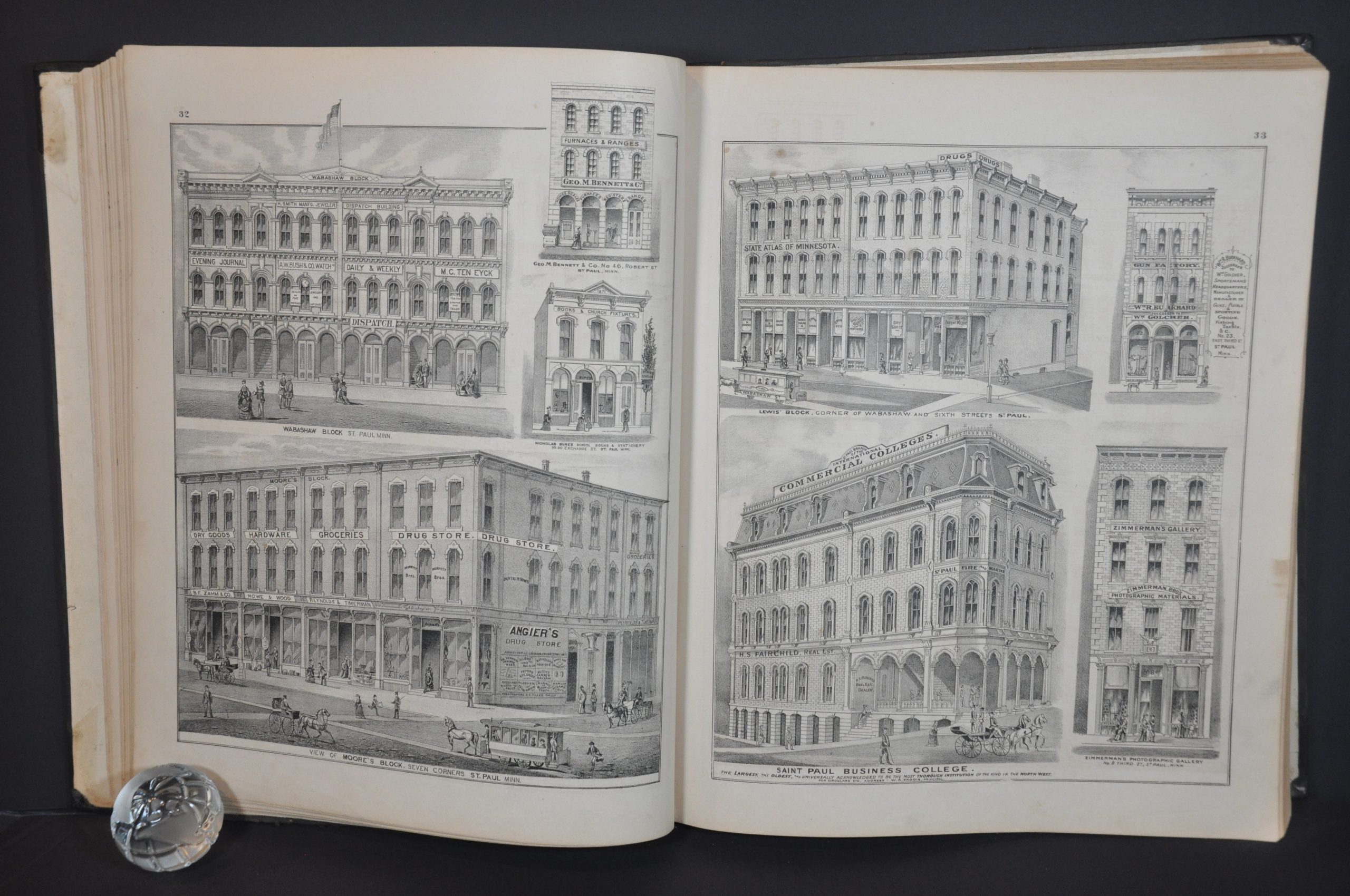
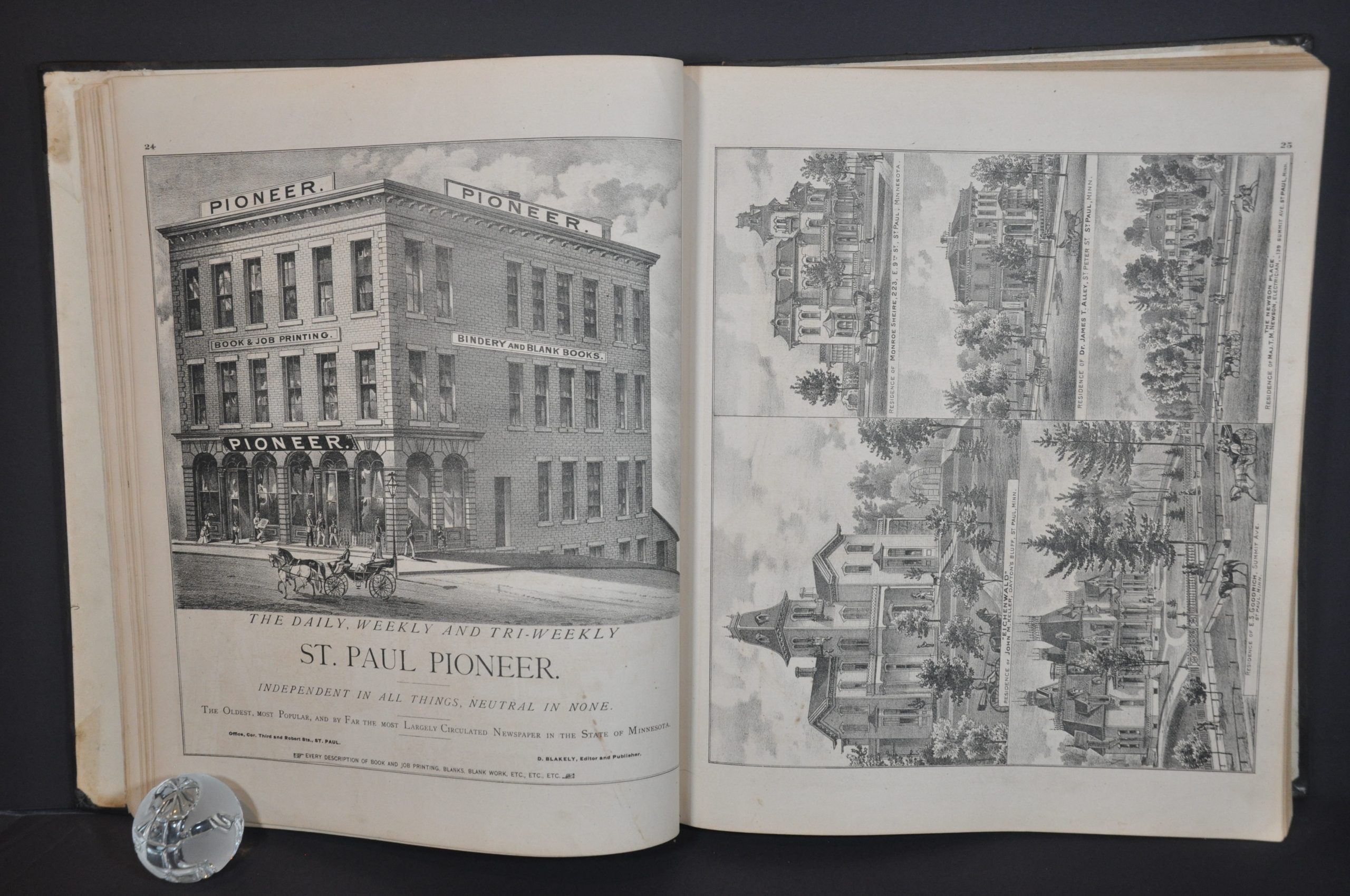
Like many 19th-century county and state atlases, the work was sold on a pre-order subscription basis in order to defray the significant upfront costs of production. The process is described in some detail in the Preface and ‘What it Takes to Make a State Atlas’ dedication sections. Residents and companies could pay an extra fee to include portraits, advertisements, or views of homes and businesses.
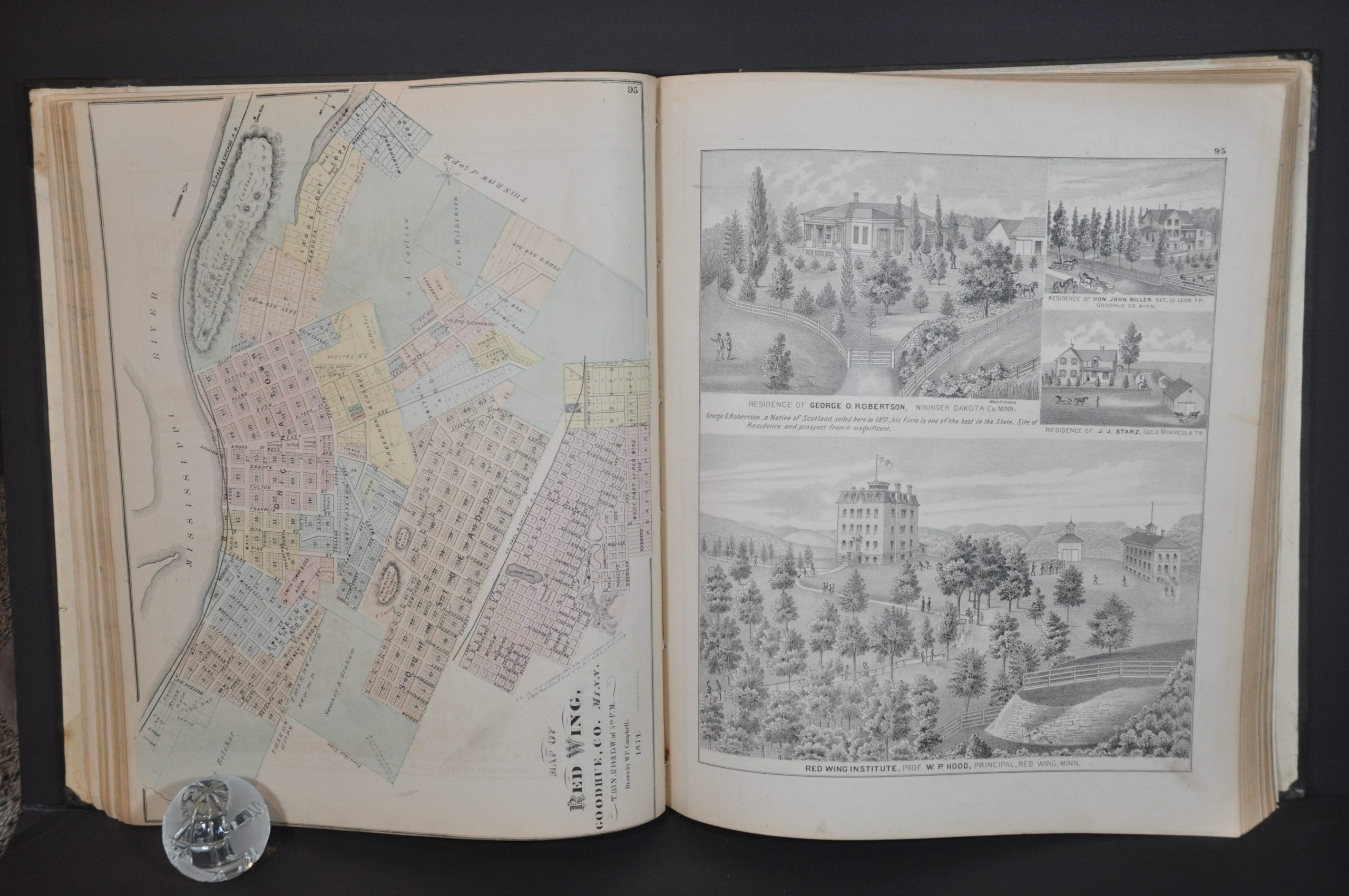
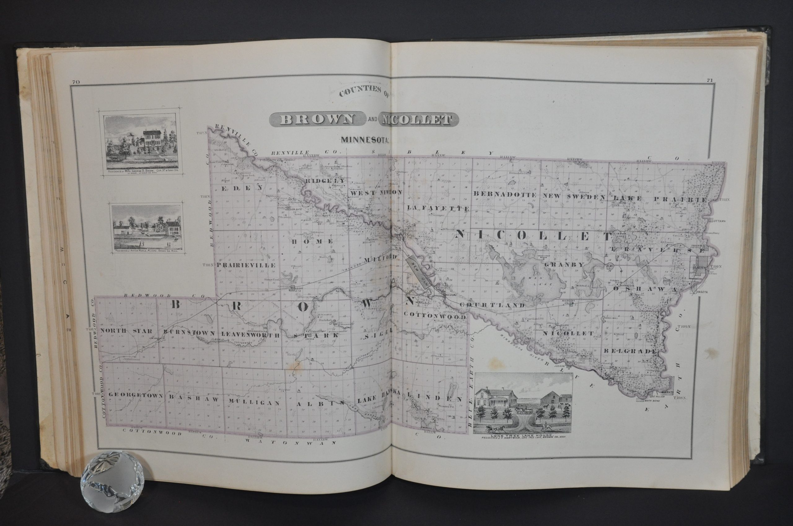
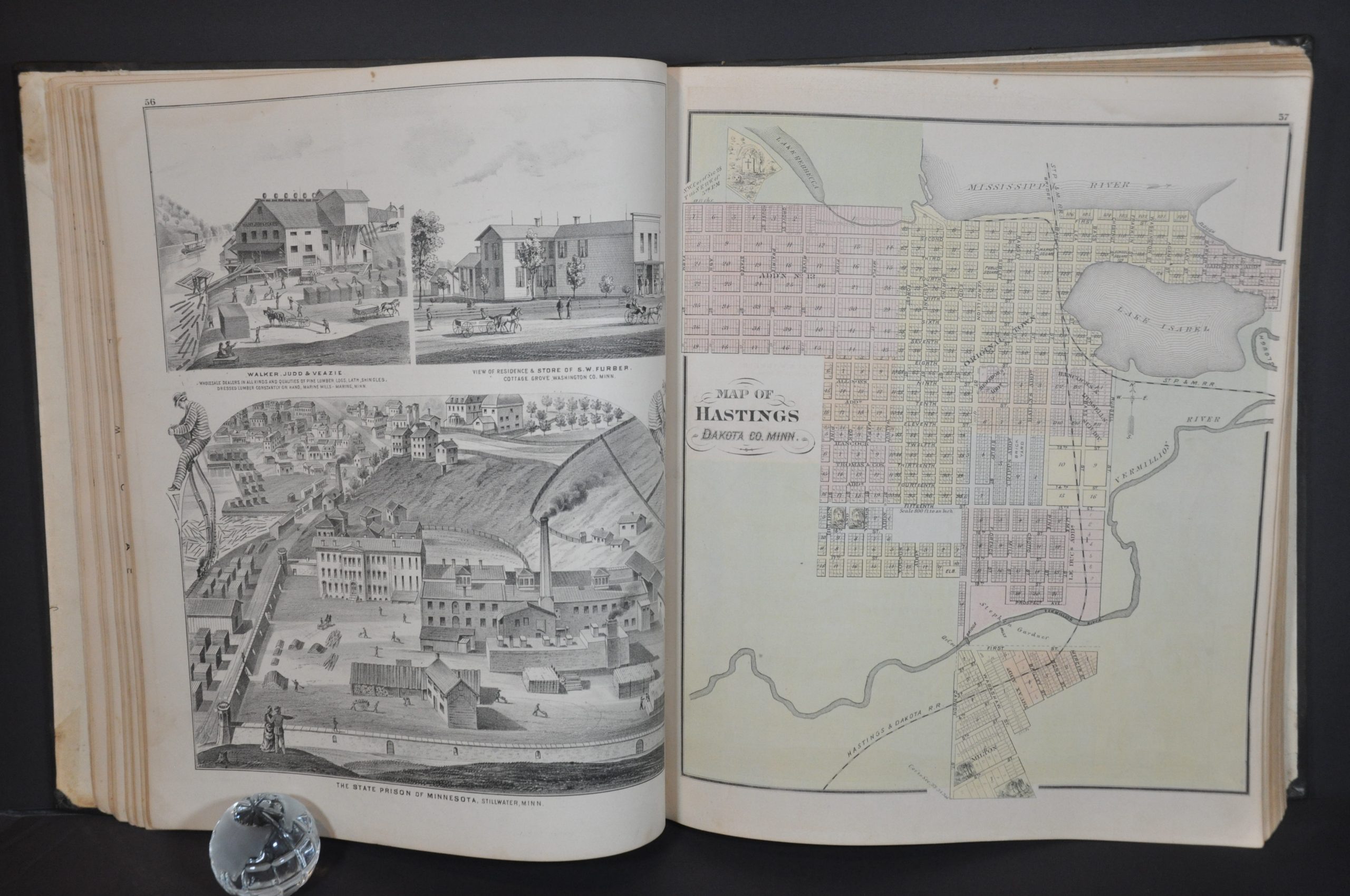
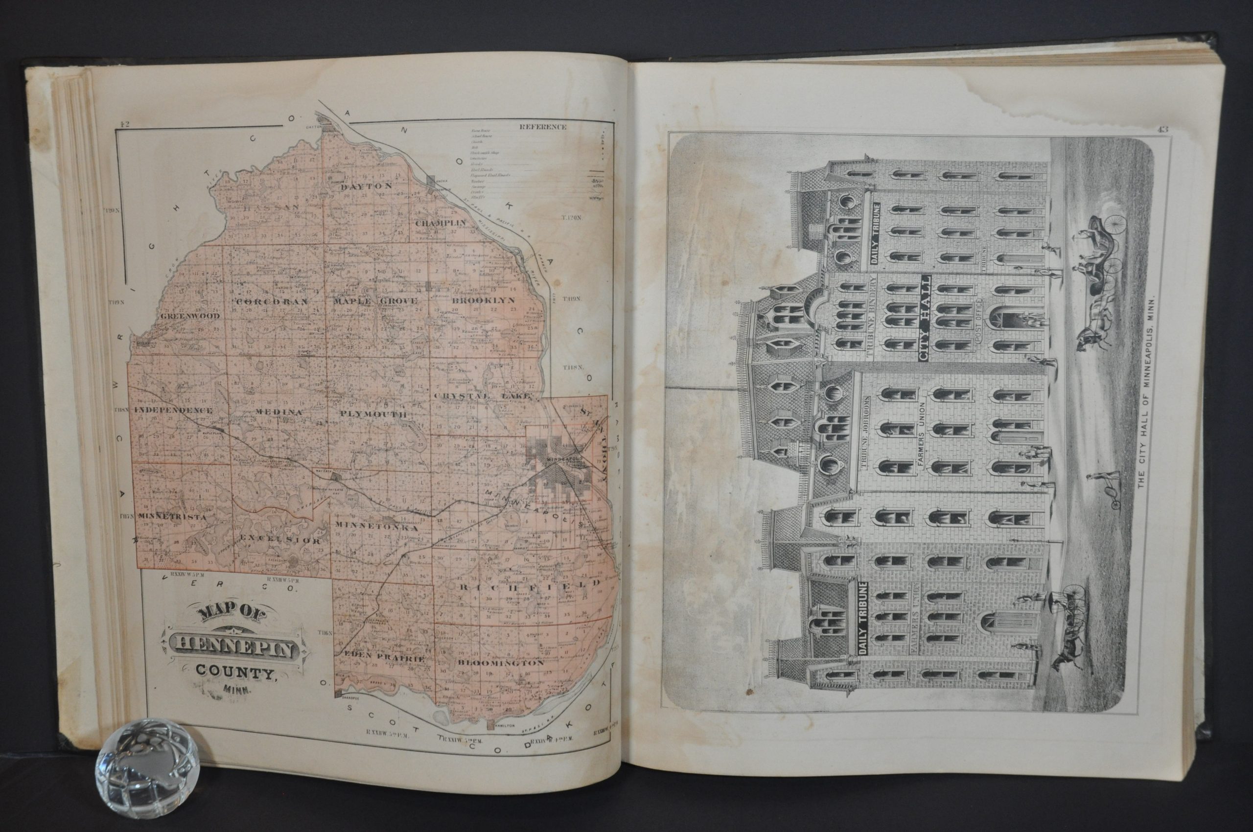
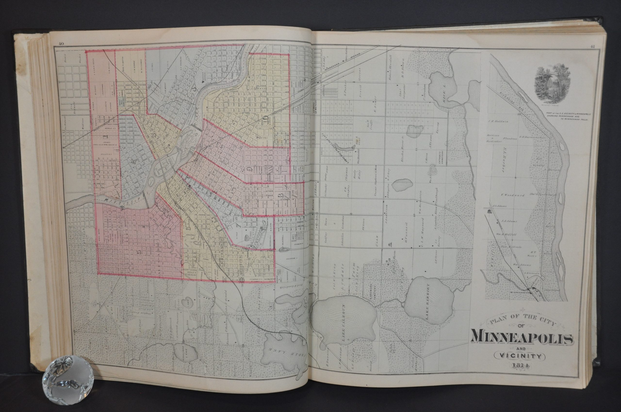
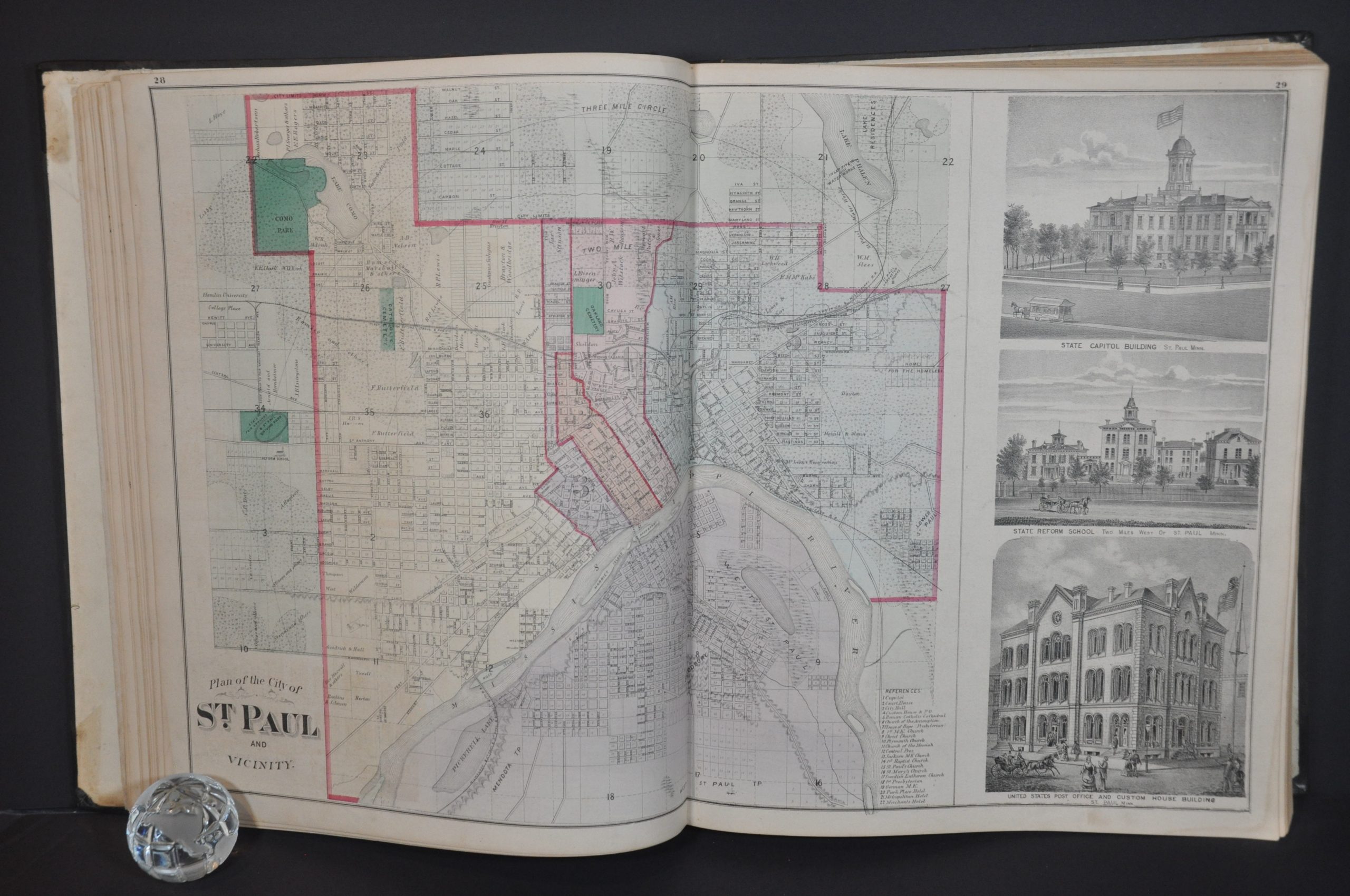
Dozens of examples are included throughout the atlas, even illustrations of prized farm animals! Detailed illustrations present a variety of manufacturers, the Minnesota state prison, churches, and private residences. These visual accompaniments offer a fascinating contemporary window into the lives of (mostly wealthy) residents across the state.
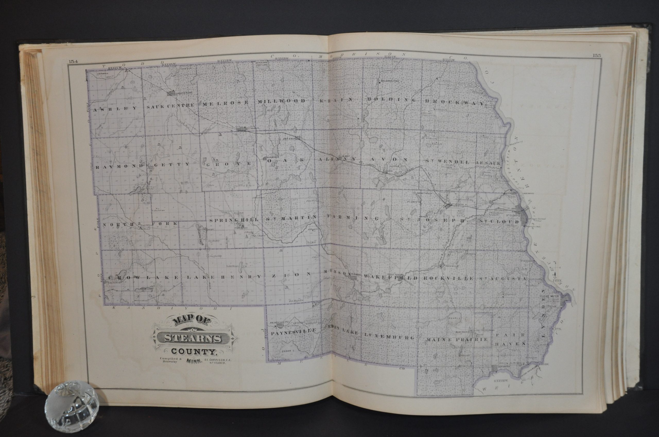
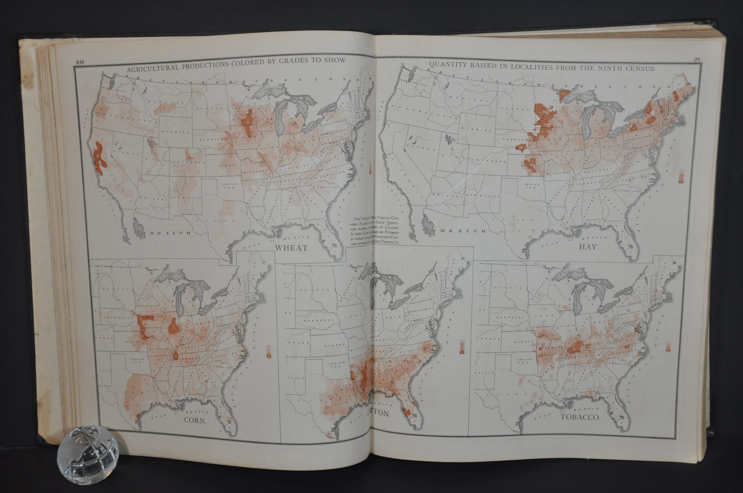
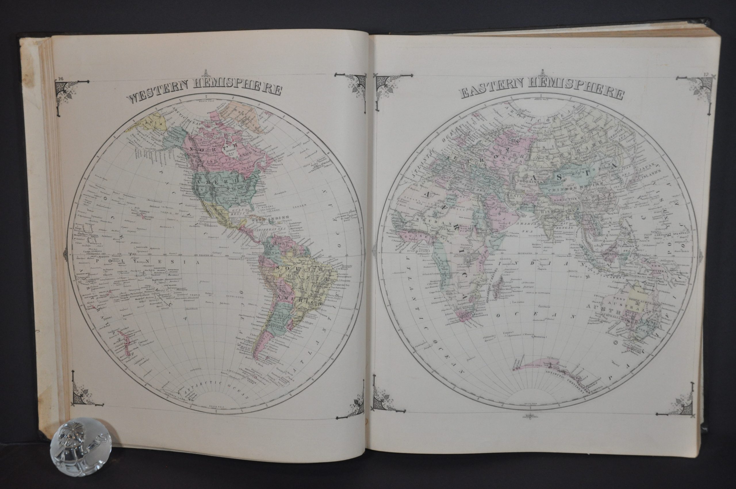
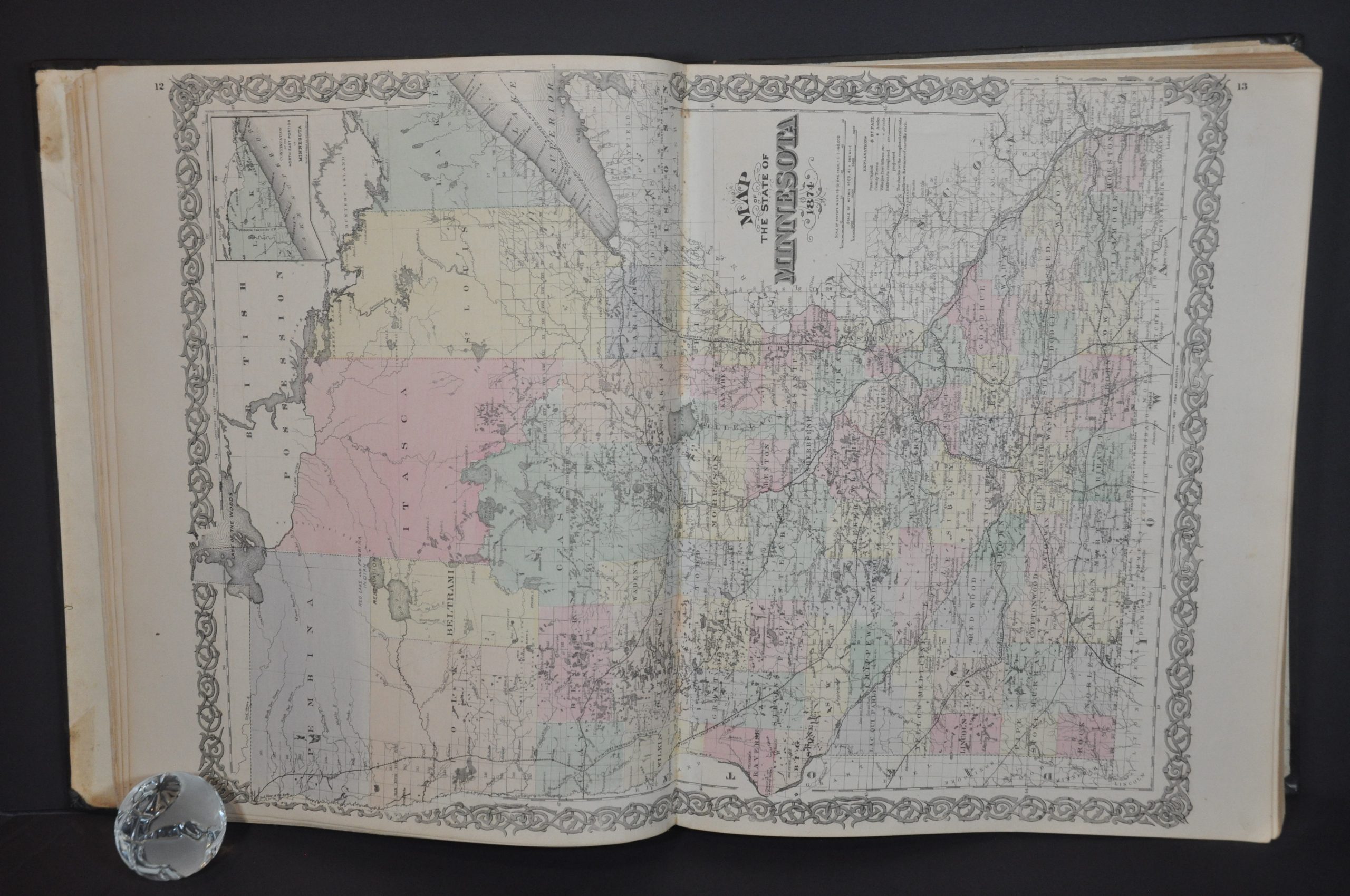
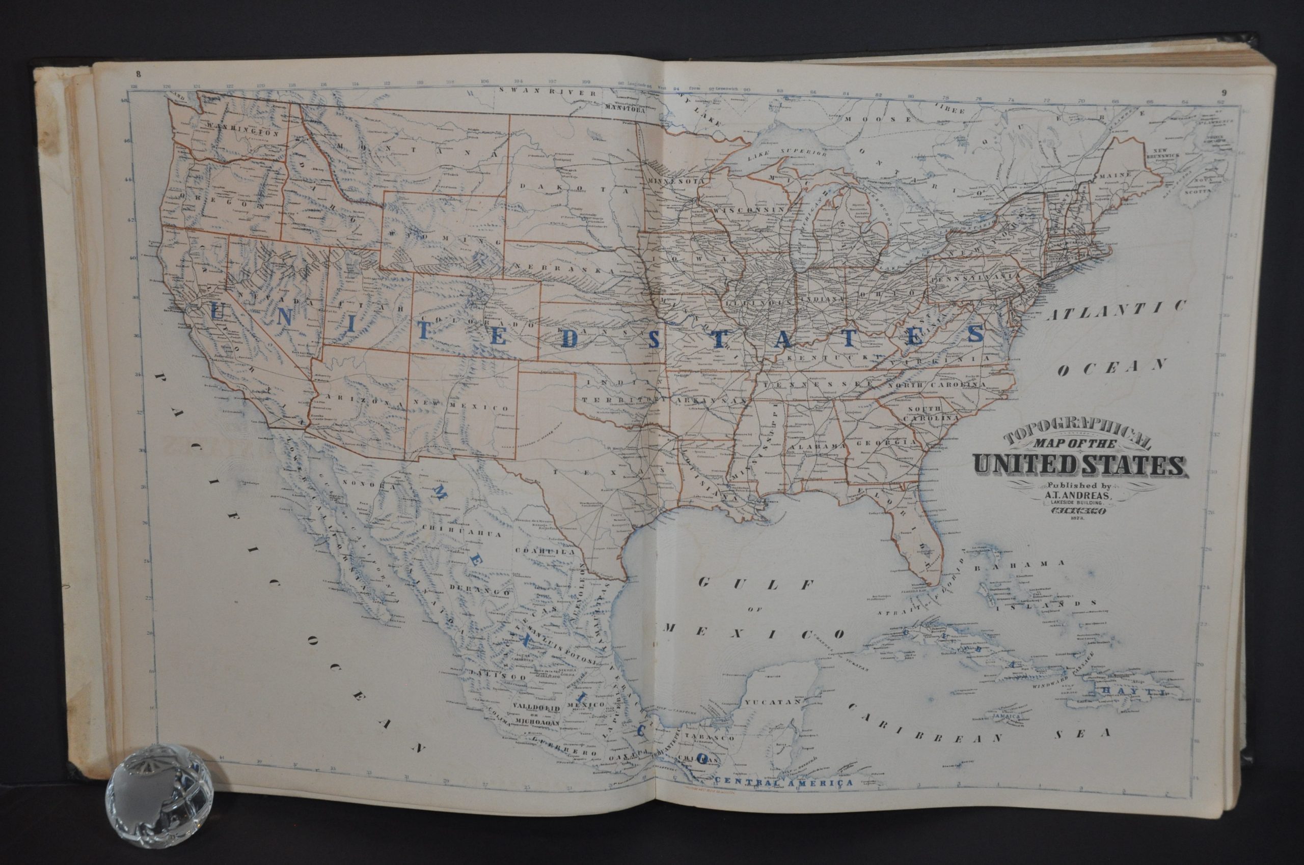
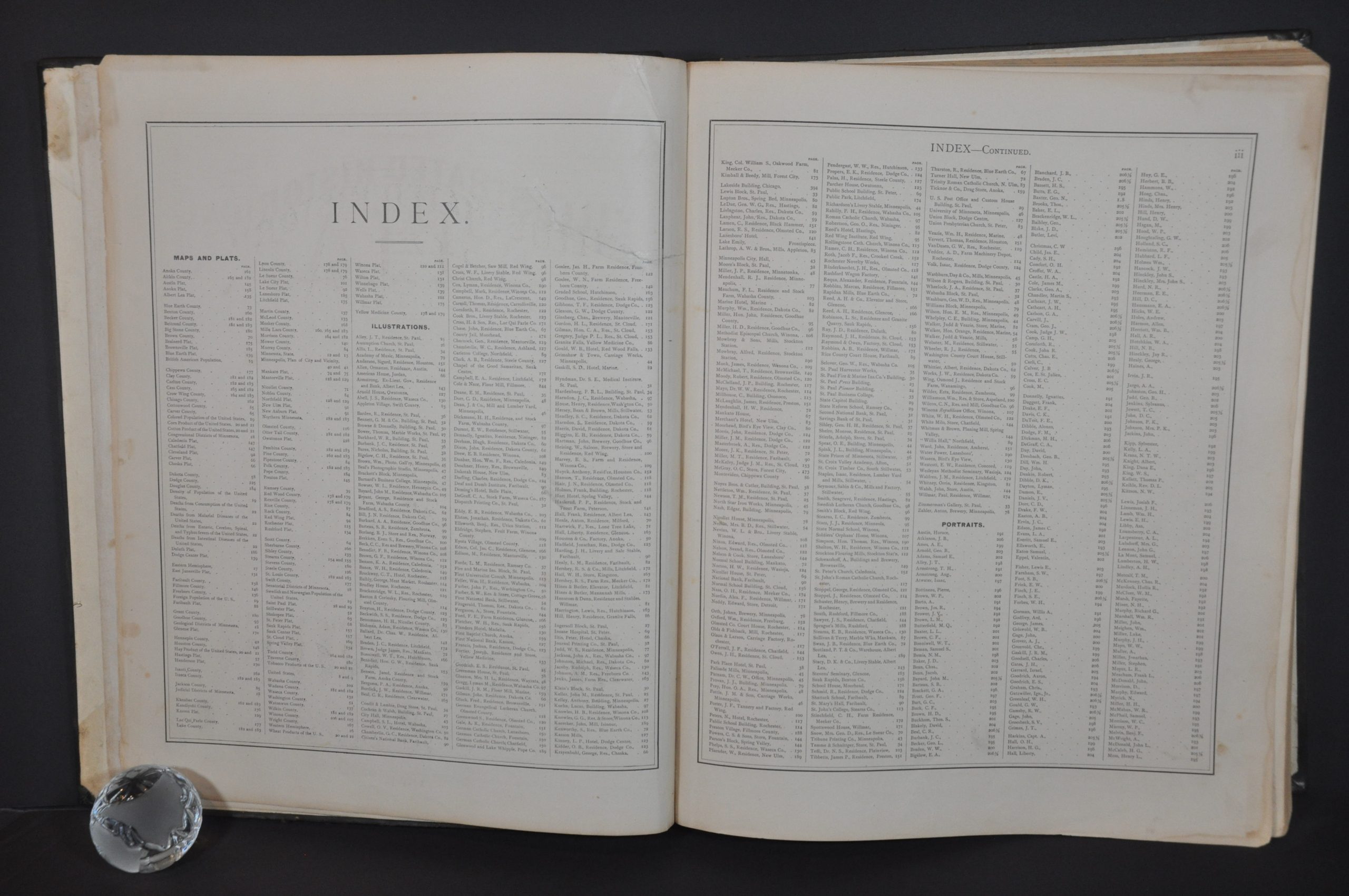
Scores of street plans and plat maps cover every village, city, and township. An incredible wealth of information is presented. Names of land owners, local businesses, schools, churches, post offices, transportation routes, geographic features, and much more are carefully labeled on each map. The atlas concludes with biographical sketches of prominent citizens (living and dead), historical descriptions of each county, a patron’s directory of aforementioned subscribers, and statistical data on the United States.
Map Details
Publication Date: 1874
Author: A.T. Andreas
Sheet Width (in): 14.25
Sheet Height (in): 17.5
Condition: A-
Condition Description: Rebound in new black quarter leather with original brown cloth embossed boards. Gilt title and accents on the spine. Original endpapers. Complete, 394 pp. with 76 maps (single and double page). Unfortunately lacking the three bird's eye views, which were issued in only a limited number of copies. Contents are bound tightly and quite clean - a tear in the title page has been professionally repaired and a second large closed tear is visible in the bottom of Rumsey County. Final page is heavily creased and reinforced with Japanese tissue. There is some scattered marginal damp staining, offsetting, light spotting, and edge soiling. A handful of maps have small stains or spotting within the image, but overall in very good condition.
$1,300.00
1 in stock