Illustrated Historical Atlas of the State of Indiana
$500.00
A prodigious 1876 atlas covering all of Indiana.
1 in stock
Description
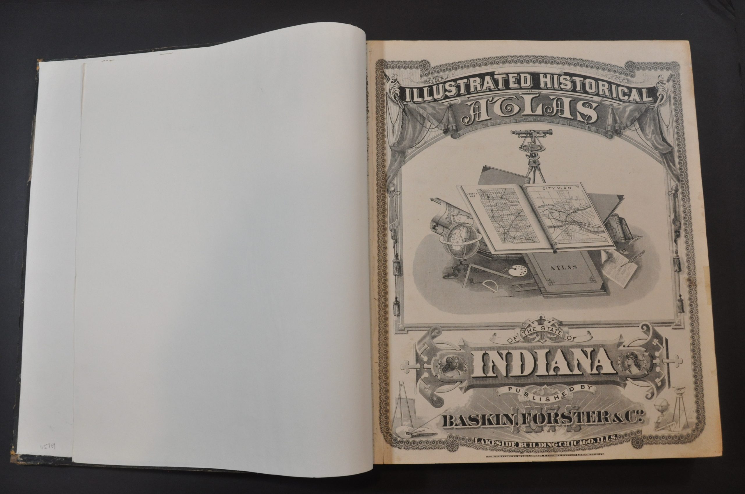
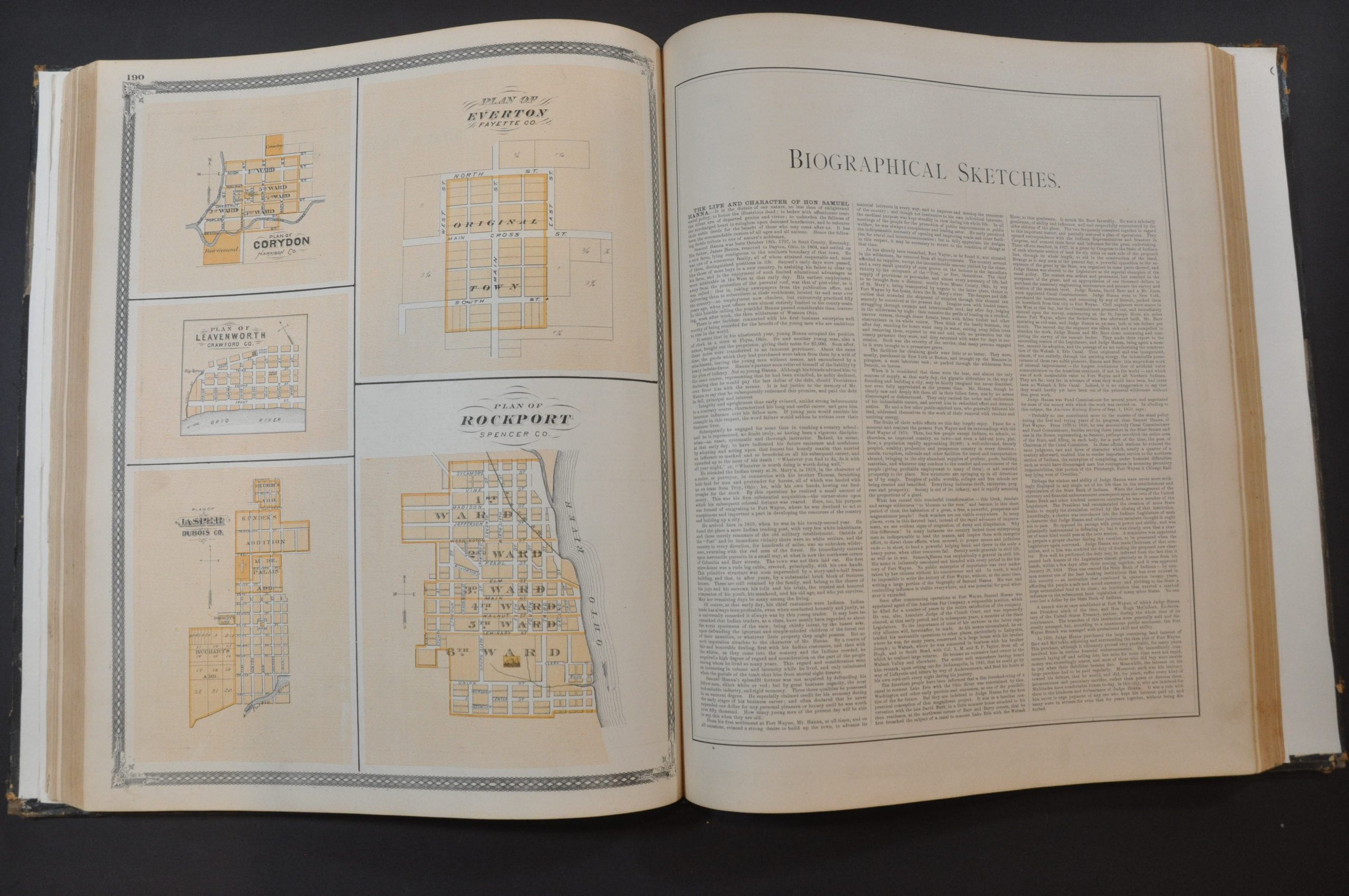
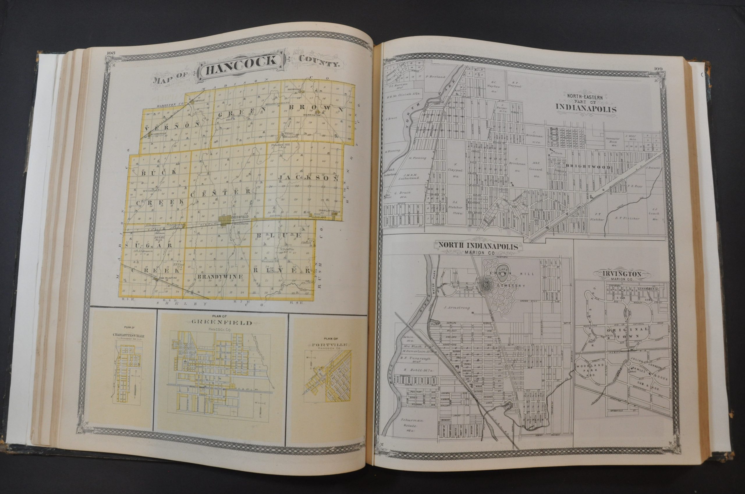
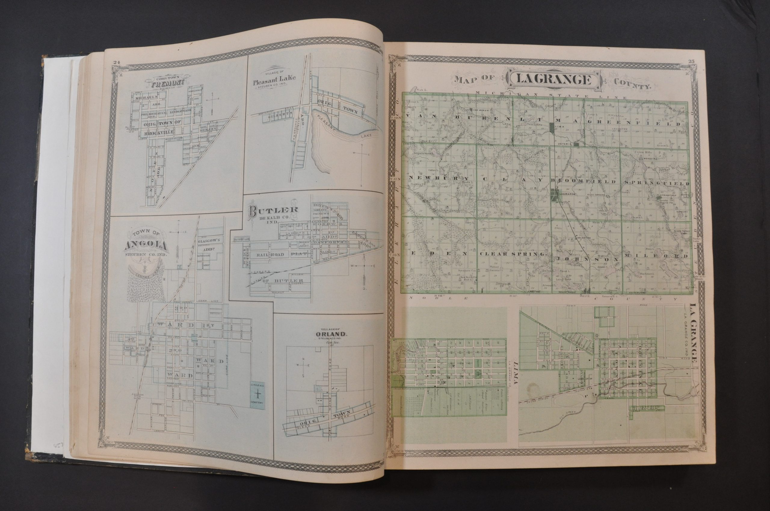
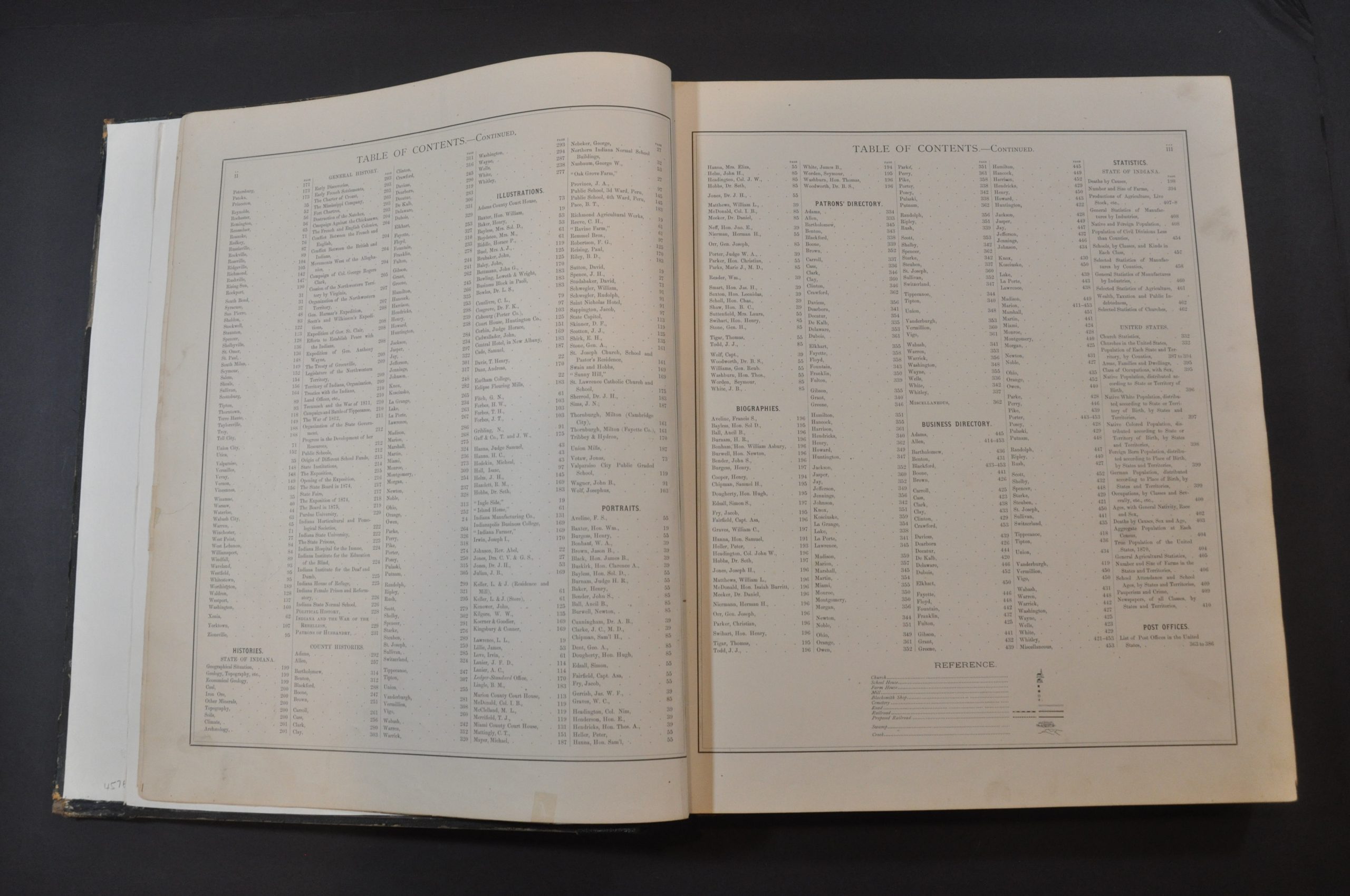
The elaborate title page from this 1876 atlas of Indiana shows a volume open to a county map and a city plan – the cornerstones of the publication. Nearly 400 maps, often several to a page, cover every county and township in the state. Oddly, no scales are provided, but a legend at the end of the table of contents identifies the symbols used for churches, schoolhouses, farm houses, mills, blacksmith shops, cemeteries and transportation routes.
Interspersed between the maps are numerous engraved views of local properties owned by subscribers and patrons of the publisher. These are the residents and business people who ‘subscribed’ to the publication of the atlas by providing funds up-front to defray the costs. This was a common method of publishing atlases in the late-19th century and early 20th century. For a set fee, subscribers were among the first to receive the finished work and often had the opportunity to pay extra for custom additions. As a result, many examples of county atlases include portraits of individual patrons, views of personal residences and businesses, and even images of prize farm animals!
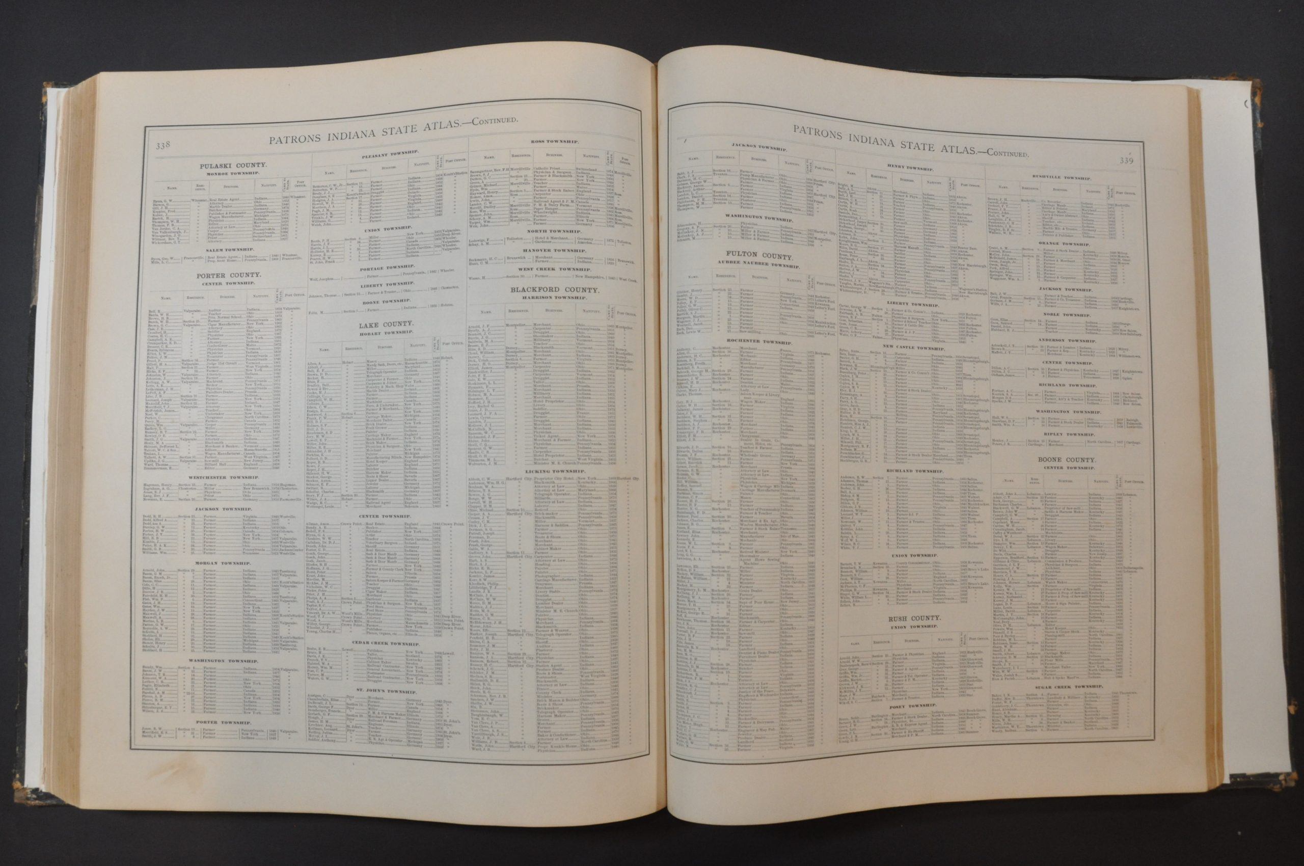
In addition to showing counties and cities, the atlas also has several specialized maps of Indiana and the United States reflecting political organization, population distribution, and commodity production. An extensive collection of county histories, tables of statistics, and business directories complete the publication.
The atlas was published in Chicago in 1875 by Baskin, Forster, & Co.
Map Details
Publication Date: 1875
Author: Baskin, Forster, & Co.
Sheet Width (in): 15
Sheet Height (in): 17.75
Condition: B+
Condition Description: Original quarter black leather and brown cloth covers have been professionally repaired with a new spine and endpapers. Covers show moderate wear and worn corners, but the binding is secure. Contents are generally good to very good. Light scattered soiling (mostly confined to the margins), a few edge tears, creased corners, and one or two small stains are the worst of the defects. Bright color and a bold impression on strong paper. Complete. 462 double sided pages, including nearly 400 maps, 5 of which are double page.
$500.00
1 in stock


