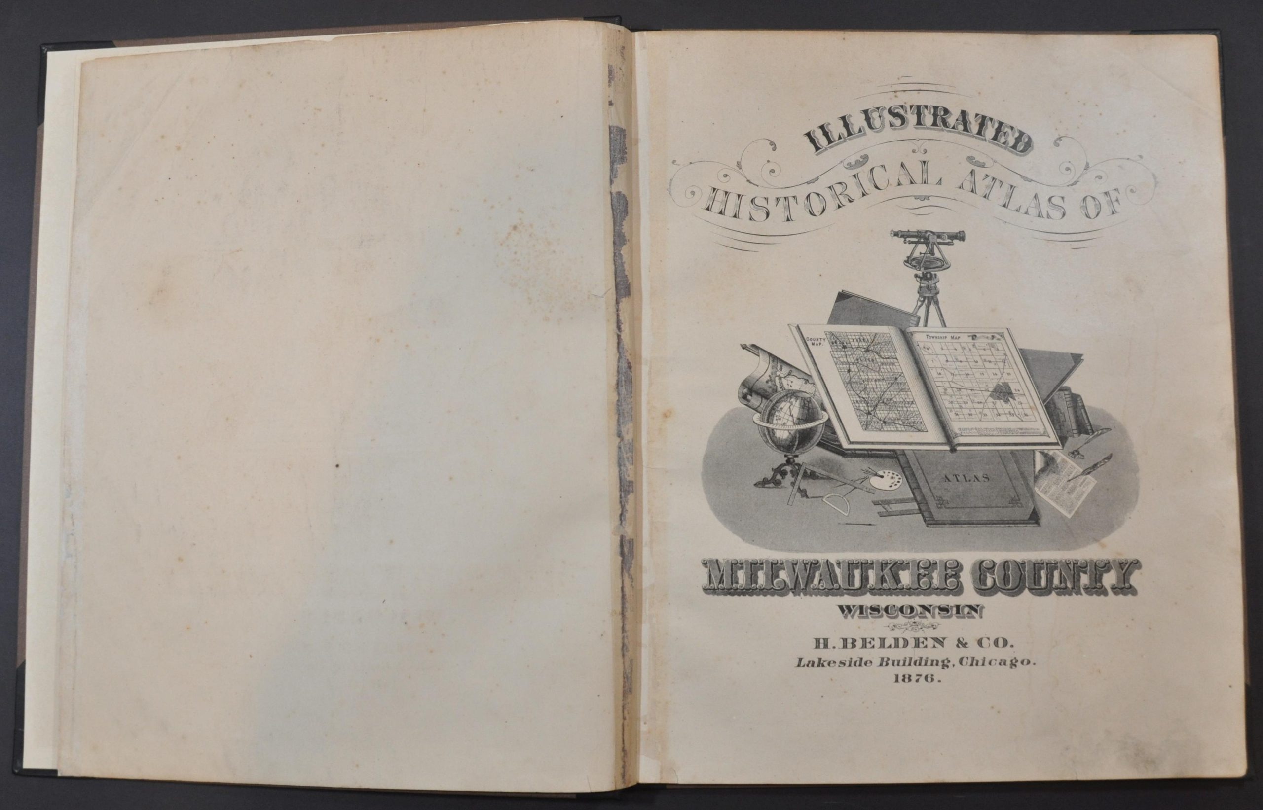
Illustrated Historical Atlas of Milwaukee County, Wisconsin
$500.00
Detailed atlas of Milwaukee County, Wisconsin from the late 19th century.
1 in stock
Description
This incredible atlas provides a thorough overview of Milwaukee County, Wisconsin near the end of the 19th century. Originally created as part of the Michigan Territory in 1834, Milwaukee County is the state’s most heavily and densely populated, with its eponymous county seat the largest city. The atlas is comprised of 84 pages, the contents of which can be summarized as follows.
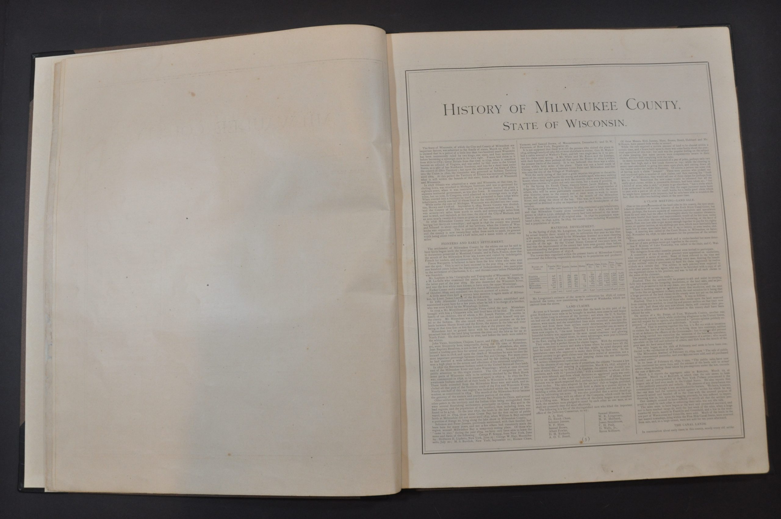
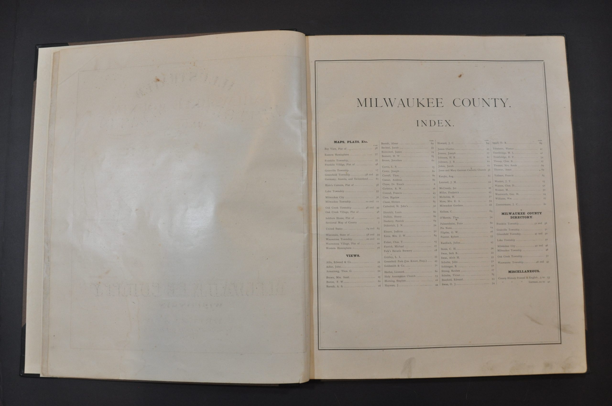
The original title page and table of contents are followed by a historic sketch of the county and a single-page outline map of the county. The image notes transportation routes, settlements, post offices, and geographic features. Fourteen maps follow (eight double page and six single page), with county history and numerous views interspersed throughout.
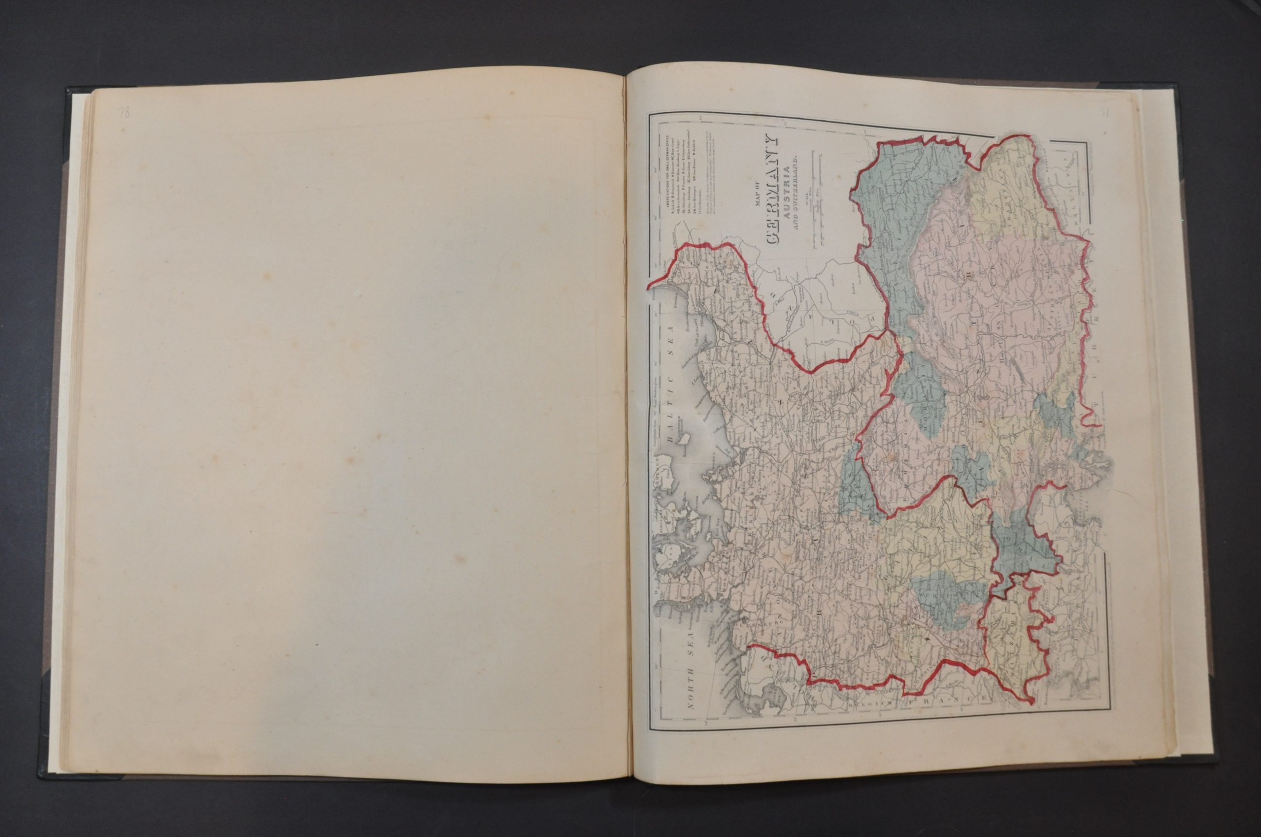
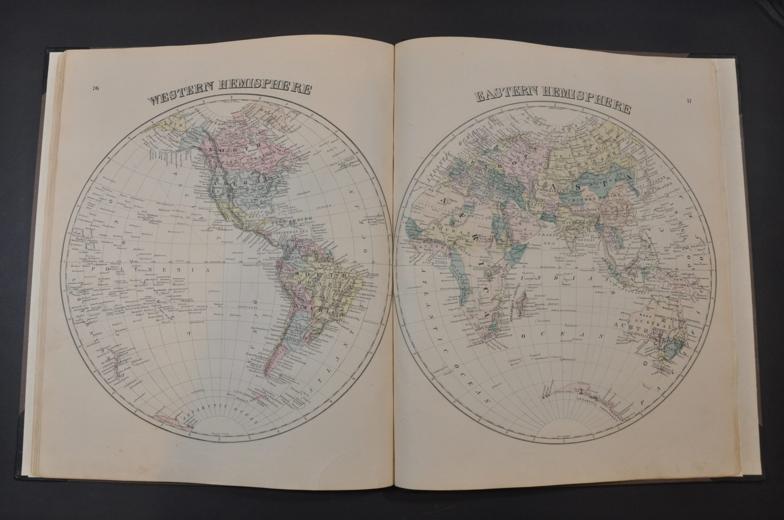
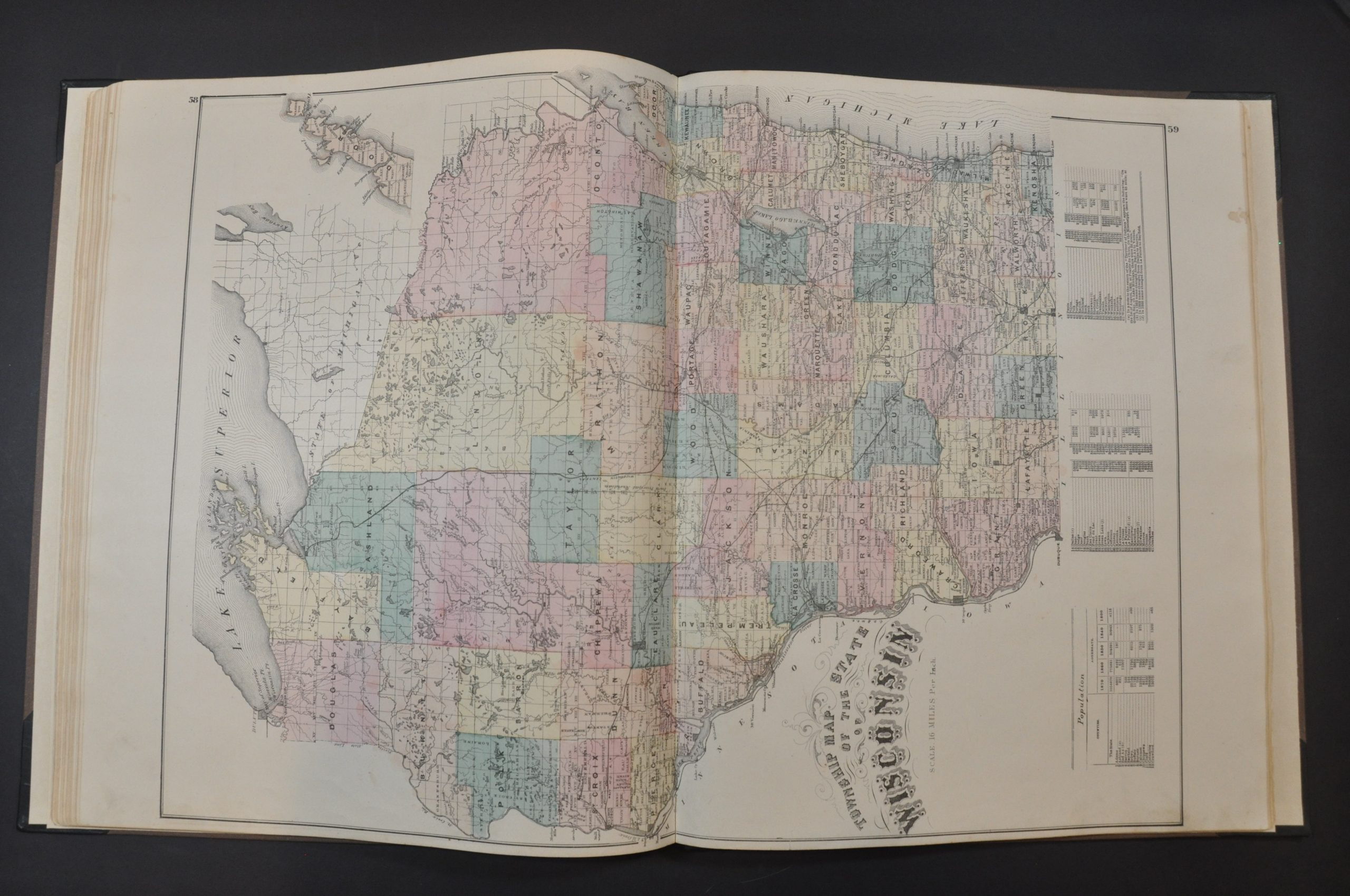
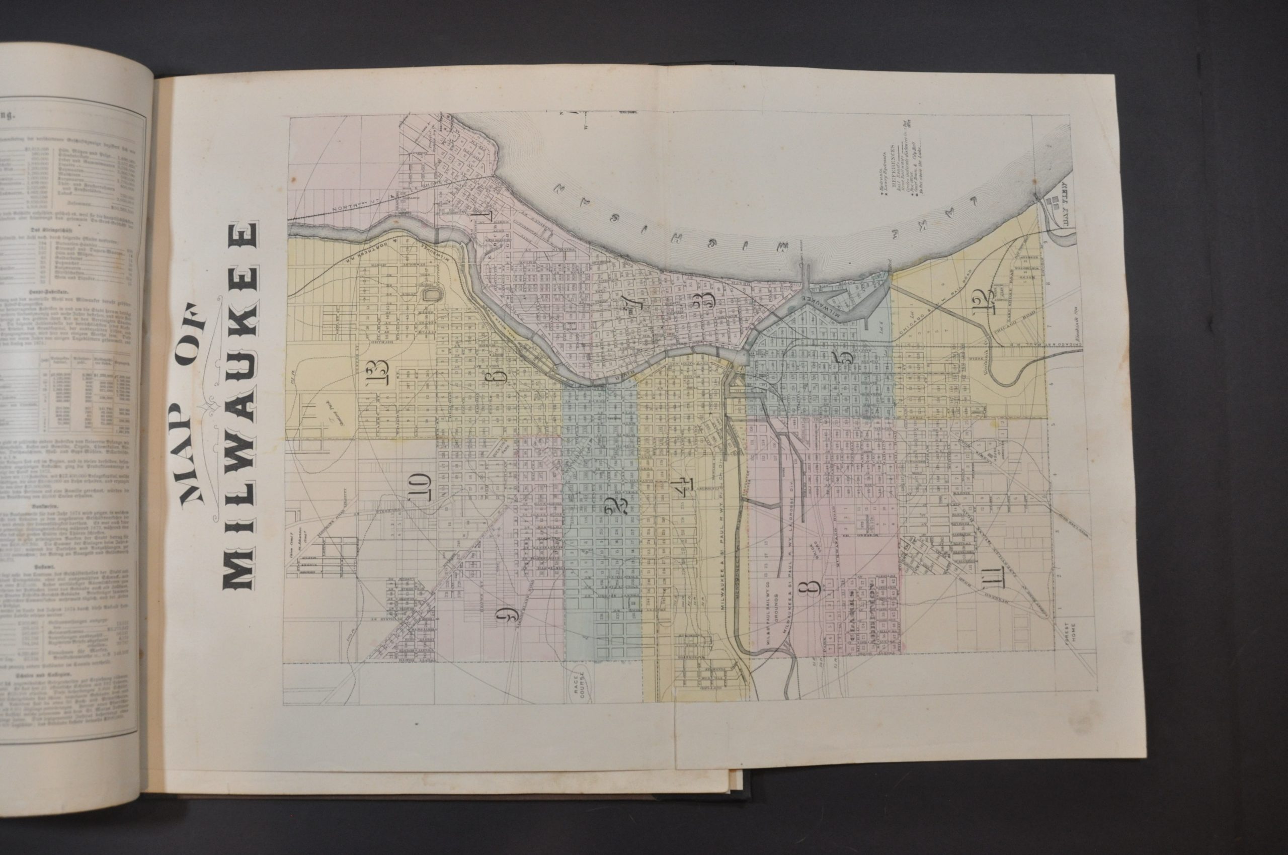
The majority of these maps provide information on land ownership, property divisions, public areas (parks, cemeteries, etc.), and important buildings. Of particular interest is the folding city plan of Milwaukee. The atlas concludes with large folio maps of Wisconsin, the United States, both hemispheres and a single-page map of Germany and Austria. This inclusion is particularly relevant for Milwaukee County residents, of whom a large number were immigrants from these countries. The text for the historical and biographical information is also provided in German.
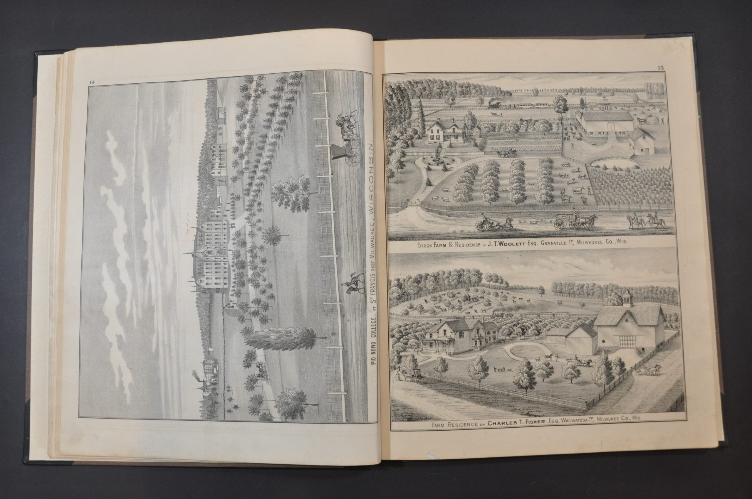
Also of note are the patrons’ directory and dozens of illustrated plates present throughout the atlas. These are the residents and business people who ‘subscribed’ to the publication of the atlas by providing funds up-front to defray the costs. This was a common method of publishing county atlases in the late-19th century and early 20th century. For a set fee, subscribers were among the first to receive the finished work and often had the opportunity to pay extra for custom additions. As a result, many examples of county atlases include portraits of individual patrons, views of personal residences and businesses, and even images of prize farm animals!
The atlas was compiled and published in Chicago by Higgins Belden & Co. . in 1876.
Map Details
Publication Date: 1876
Author: Higgins Belden & Co.
Sheet Width (in): 14.5
Sheet Height (in): 18
Condition: B+
Condition Description: Professionally restored and rebound in new black quarter leather (gilt spine and corners) and full brown cloth. New endpapers. Lacking 3 plates (68 - Milwaukee Gardens, 73 - Assumption Church, and 80 - Various Views), but otherwise complete. Contents are generally good, with usual light toning, scattered foxing, moderate soiling, and some small edge tears. A handful of pages are lightly warped and show some faint damp staining around the outer edges.
$500.00
1 in stock

