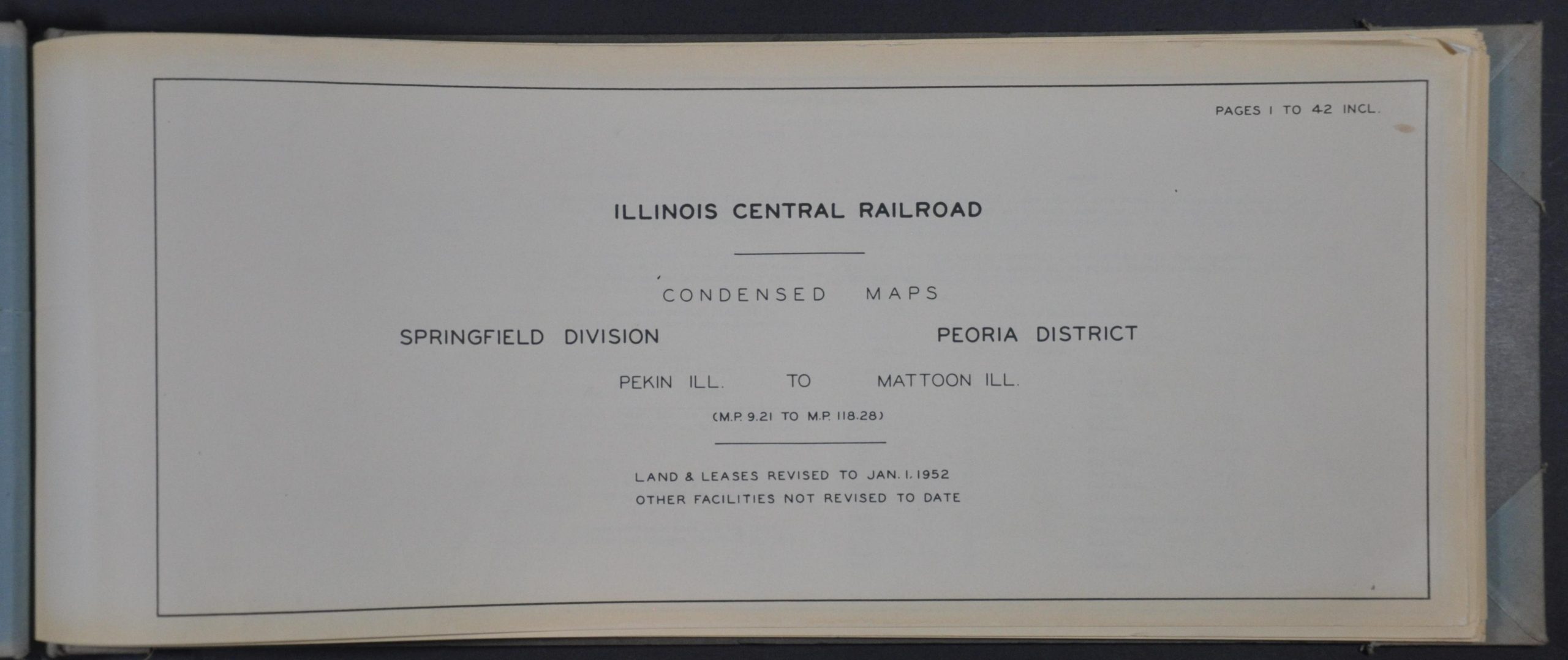
Illinois Central Railroad Condensed Maps Springfield Division Peoria District Pekin Ill. to Mattoon Ill.
$225.00
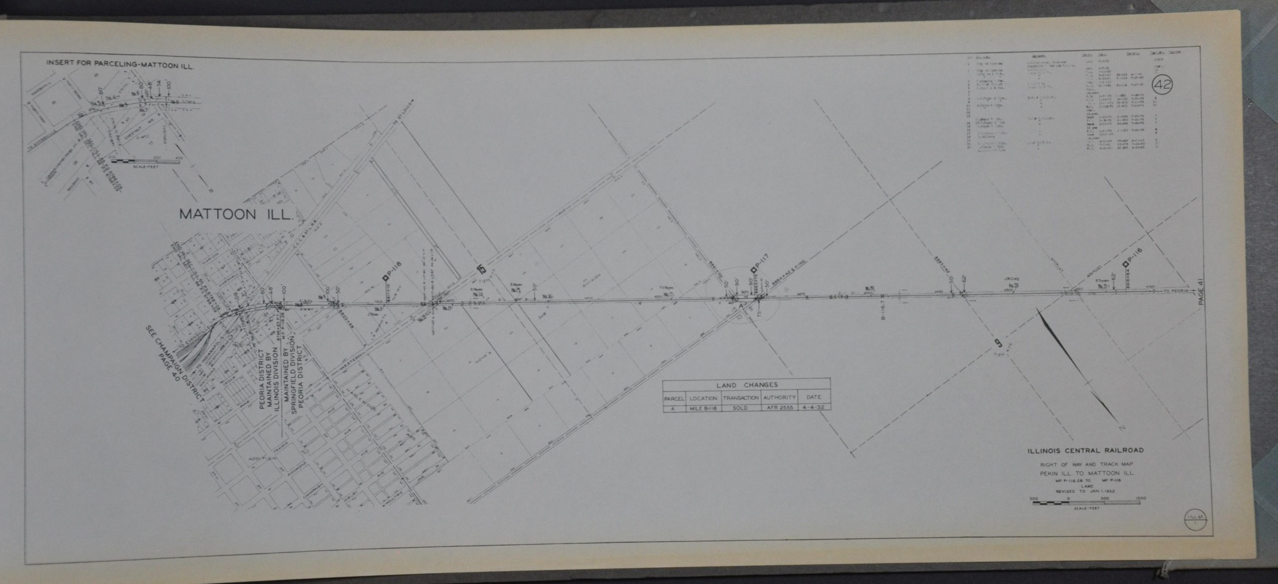
110 miles along the Illinois Central Railroad in the early 1950s.
1 in stock


Description
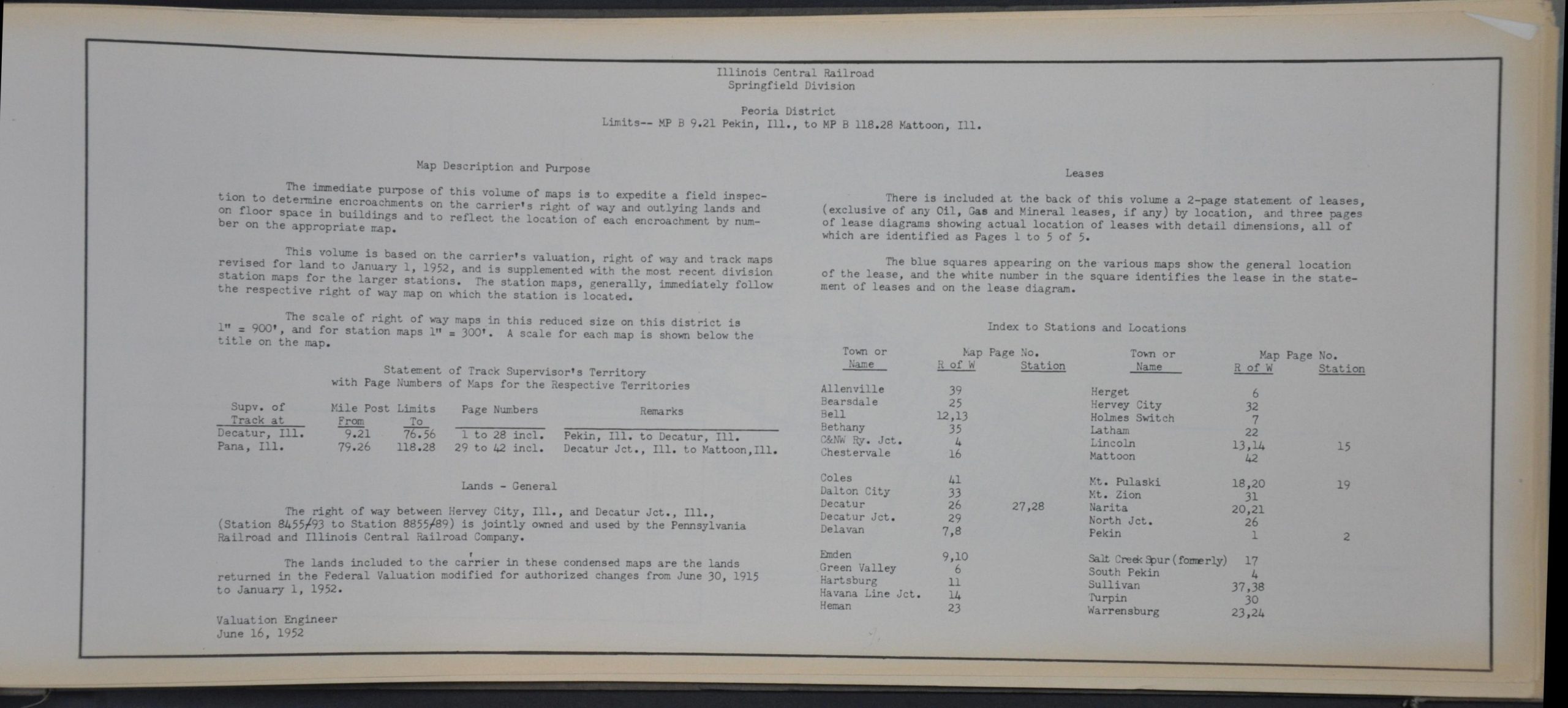
The immediate purpose of this volume is to expedite a field inspection to determine encroachment on the carrier’s right of way and outlying lands on floor space in buildings and to reflect the location of each encroachment by number on the appropriate map. – Table of contents.
This detailed assortment of plans was compiled by engineers of the Illinois Central Railroad in June 1952. A series of forty-three maps shows the company’s right of ways and station properties between Pekin and Mattoon, Illinois – about 110 miles of track in total (part of which was also operated by the Pennsylvania RR). Both types of maps label major railroad infrastructure (switches, bridges, post markers, etc.) and are variously accompanied by tables of land changes, notes, and a compass rose.
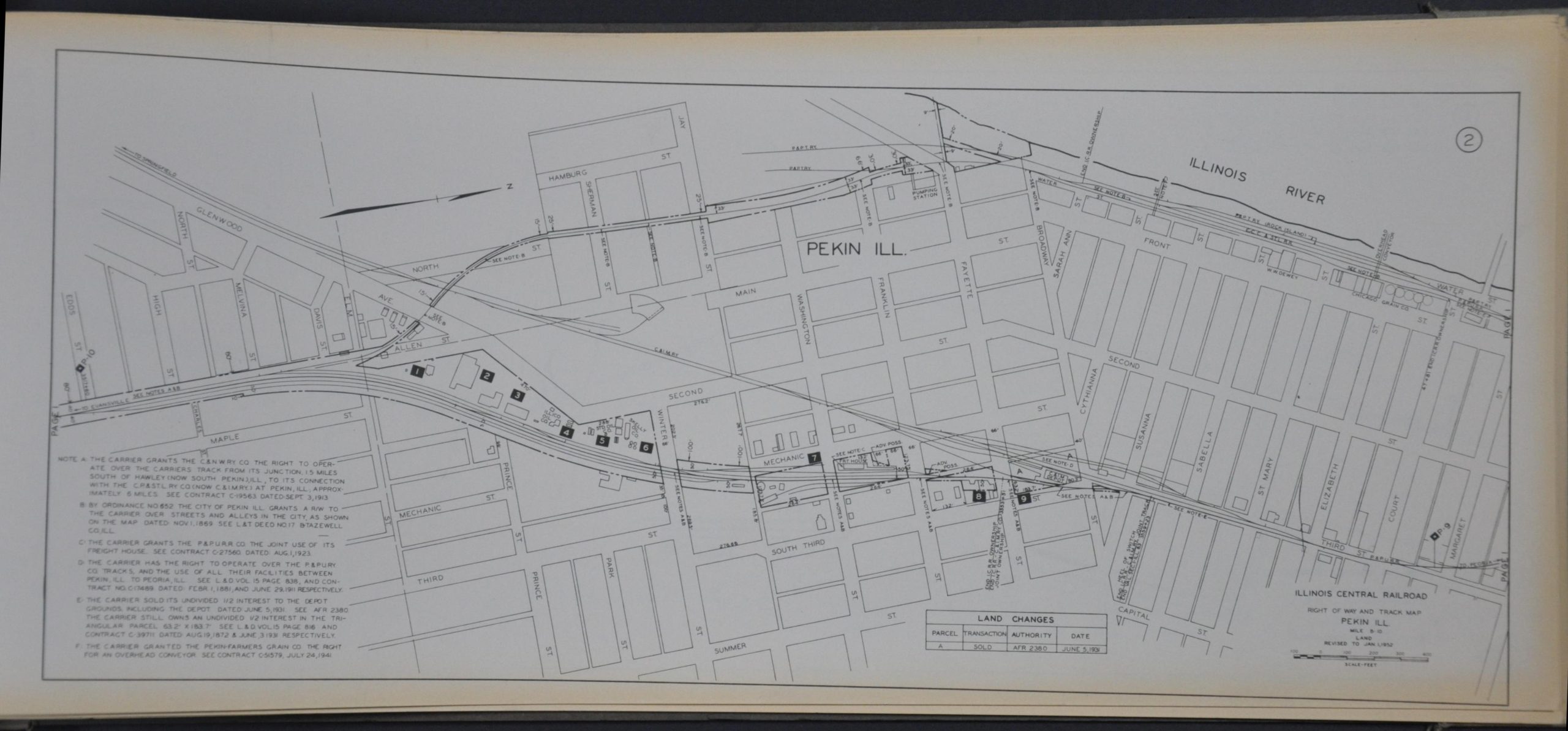
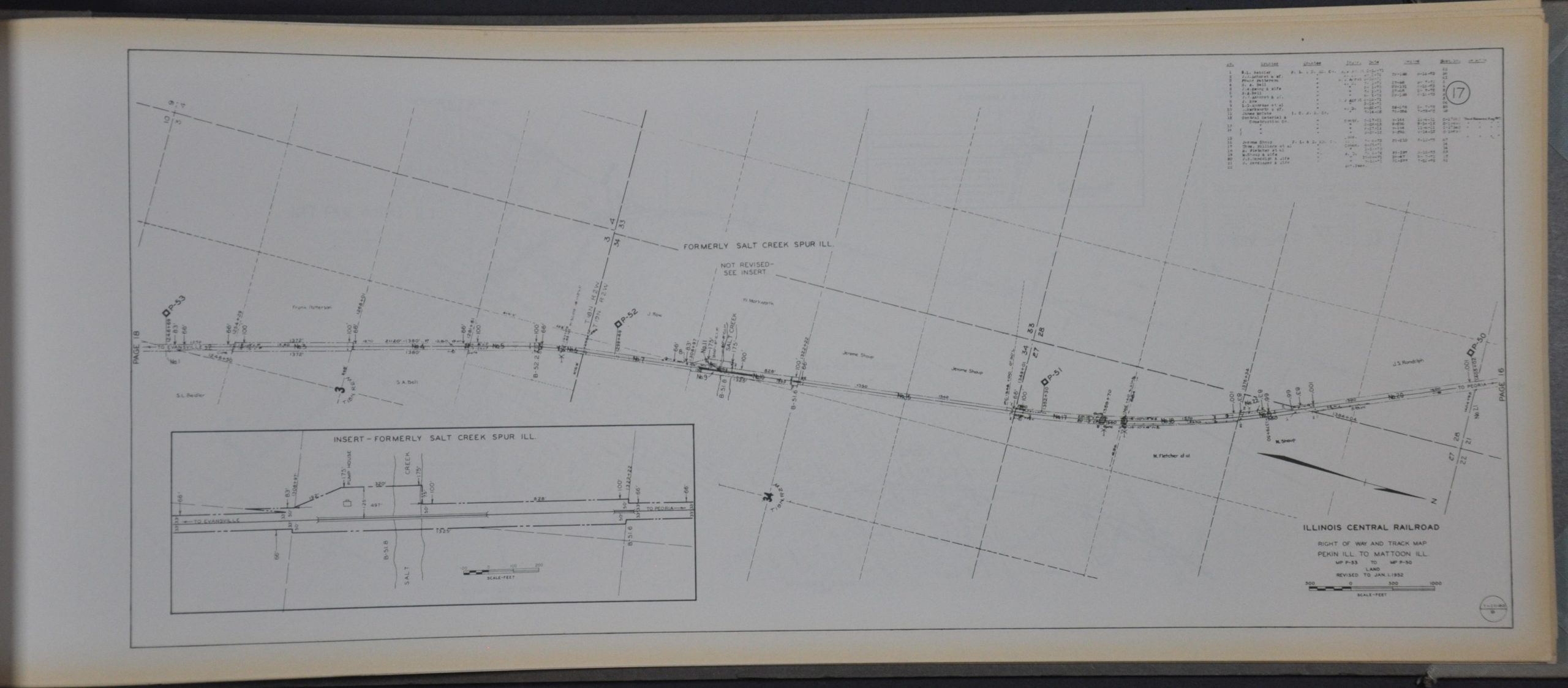
The right-of-way plans, presented at a scale of 1″ = 900′, name large landowners and include insets highlighting different track arrangements. Station maps, issued at a larger scale of 1″ = 300′, offer a detailed mid-century overview of portions of Decatur, Lincoln, Mt. Pulaski, and Pekin.
Map Details
Publication Date: 1952
Author: Illinois Central Railroad Valuation Engineer
Sheet Width (in): 21
Sheet Height (in): 8.5
Condition: A
Condition Description: 45 pages (title page, index, 43 maps) bound with metal rivets in quarter gray cloth boards. Contains all maps, but lacks the 2-page statement of leases referenced on the title page. Spine is frayed and shows manuscript writing, but the binding is tight and in good shape. Contents are lightly toned and show some faint wear along the outer edges. Very good condition overall.
$225.00
1 in stock