
ile de S. Laurens, ou Madagascar
$200.00
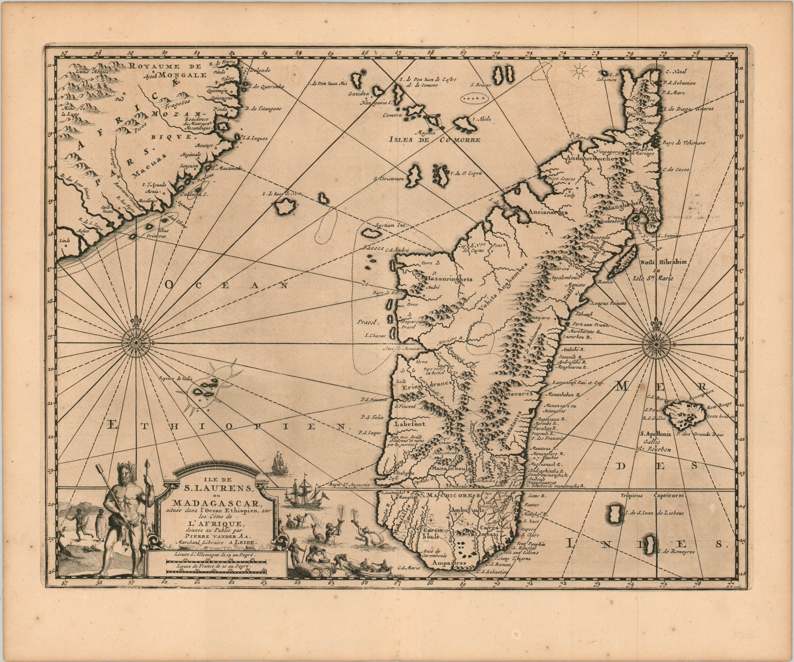
Copperplate engraved map of Madagascar issued in the waning years of the Golden Age of Piracy.
1 in stock
Description
The island of Madagascar, situated approximately 250 miles from the African mainland, was a haven for pirates and privateers cruising for potential targets in the Indian Ocean between approximately 1650 and 1720. The southern coast of the continent was a regular stop-off for transcontinental trade traffic, and the pickings were ripe for slaves, silk, and spices, and gold.
This map shows the island near the height of it’s piratical heyday, and includes more information on coastal areas than the apparently mountainous interior. The decorative compass rose alludes to the social hierarchy of the island’s economy.
The map was created by Pieter Van der Aa and published in Leiden in 1717 as part of Jean Mandelslo’s “Voyage de Perse aux Indes Orientales.” This epic travelogue details the voyages of Jean-Albert (Johan Albrecht) Mandelslo – a German diplomat who traveled to Russian and Persia in the late 1630’s on a political mission for the Duke of Holstein but was separated from his group.
He would carry on through India, Ceylon, and Madagascar before returning home to write about his travels. Information on the Far East, including the Spice Islands, was included in the publication, but garnered from other sources.
Map Details
Publication Date: 1717
Author: Pieter Van der Aa
Sheet Width (in): 15.90
Sheet Height (in):
Condition: A
Condition Description: Minor scattered spotting confined to the margins and one spot under the compass rose. Otherwise in near fine condition, with a crisp impression on a clean (slightly toned) sheet.
$200.00
1 in stock