Hydrology of the Long Beach – Santa Ana Area, California
$250.00
Water levels in Southern California in the mid-20th century.
1 in stock


Description
This fascinating collection of eleven lithographed plates was published in Washington, D.C. by the Government Printing Office in 1959. They were originally issued to accompany a water-supply paper by J.F. Poland of the United States Geographical Survey (U.S.G.S.) that discusses the hydrology of a densely populated segment of Southern California between Santa Ana/Newport Beach and Long Beach. The primary concern appears to be the withdrawal of groundwater from scores of wells scattered across the region. On page 4 of the report;
“The principal water body of the Long Beach-Santa Ana area has been extensively utilized, beginning about in 1870 and reaching a maximum in 1935, In the latter year, about 374,000 acre-feet of water was withdrawn from the entire area. The decline in water levels which developed as a result of this increase in use has crystallized the need for appraising the watertightness of the structural zone and has furnished specific evidence that is of great aid in such an appraisal. Hydrographs, water-level contour maps, and profiles are introduced to show the changes that have developed in response to that use and to variations in rainfall.”
The group includes 8 such hydrographs and diagrams that highlight the fluctuation in water levels. Two small black and white maps show the water-level contours in September 1936 and April 1941, with drastic decreases visible in many areas.
A third folding map, measuring approximately 52.75″ x 39.75″, is oriented with east at the top and shows a detailed street plan of the coast between Long Beach Harbor and Newport Bay. Lithographed shades of pink and yellow identify various geologic deposits and strata, fault lines are labeled, and flowing, nonflowing, and abandoned wells are noted with small blue dots.
Source: U.S.G.S. Water Supply Paper 1471
Map Details
Publication Date: 1959
Author: Joseph Fairfield Poland
Sheet Width (in): See Description
Sheet Height (in): See Description
Condition: B+
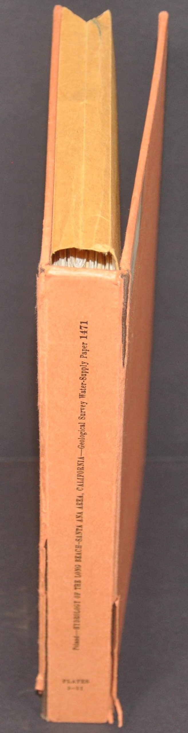
Condition Description: Ex-library. Complete group of 11 folding plates (3 maps and 8 charts/diagrams) with original orange slipcase. Case is worn with a broken spine and old owner's stamp. Plates are generally in very good shape, with light edge wear and wrinkling along the fold lines.
$250.00
1 in stock