
Hydrographic Map of Big Cedar Lake, Wisconsin
$75.00
A detailed late 19th century overview of Wisconsin’s Big Cedar Lake.
1 in stock
Description
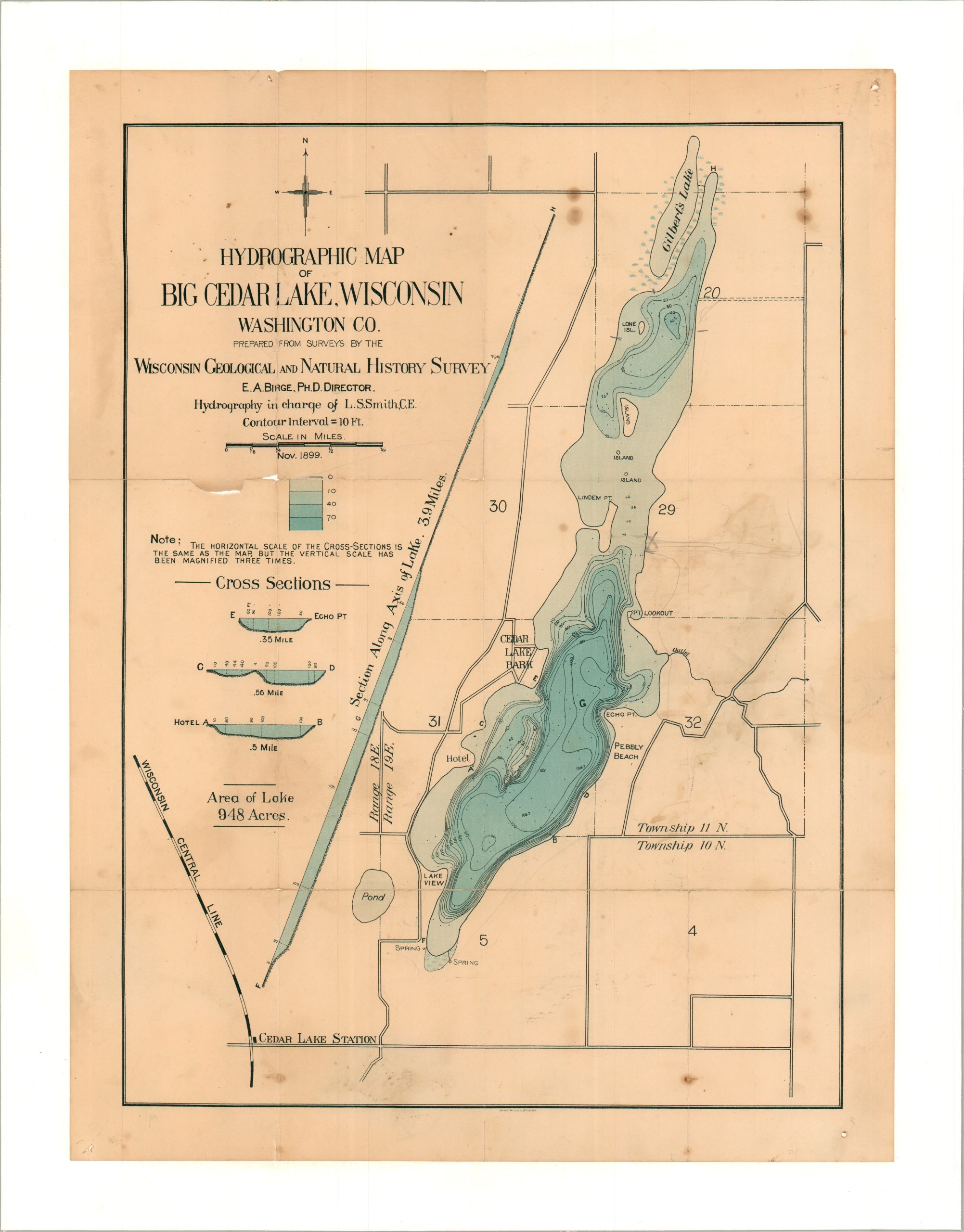
This 1899 map of Wisconsin’s Big Cedar Lake was created by Leonard Smith, a member of the Wisconsin Geological and Natural History Survey. Varying lake depths are highlighted in different hues of blue and several cross sections note differences in the lakebed. Coastal details include a hotel, Cedar Lake Park, a pebbly beach, and two freshwater springs.
Map Details
Publication Date: 1899
Author: E.A. Birge
Sheet Width (in): 15.50
Sheet Height (in): 20.25
Condition: B
Condition Description: Color printed map, printed on a toned sheet that's been professionally mouted on linen for preservation and stability. Small ships along former folds in the upper left and scattered spotting and soiling. About good condition overall.
$75.00
1 in stock