Hutchinson Motorists’ Map of England & Wales
$195.00
Rare road map of England published in the early 20th century.
1 in stock
Description
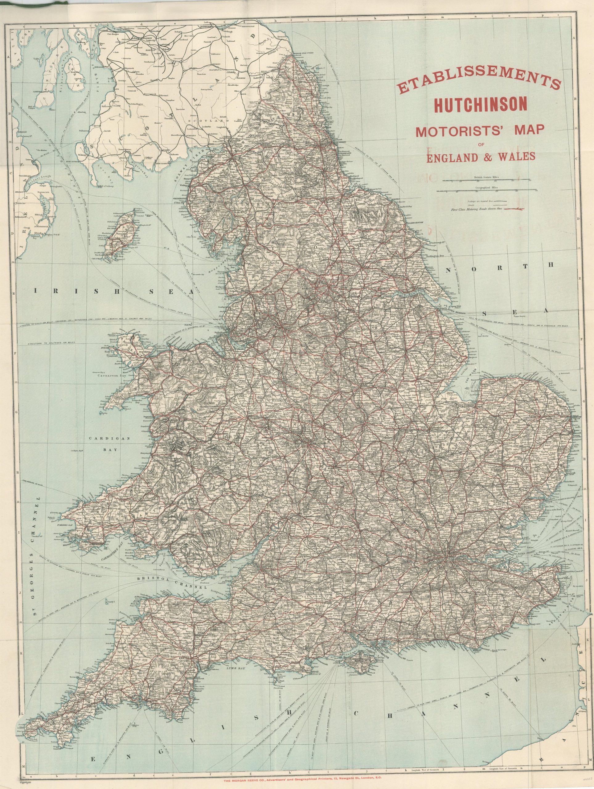
This lithographed map of England and Wales shows the robust transportation network in operation between the two nations during the early 20th century. Railways and canals are identified with hashed and solid black lines, respectively, while steamship routes are noted in nearly every body of water except Cardigan Bay and The Wash.
Red overprinting emphasizes the ‘First Class Motoring Roads’ – those intended specifically for use by the automobile. The bold title, sharing the same bright hue, indicates the map was issued by Etablissements Hutchinson – probably around 1910.
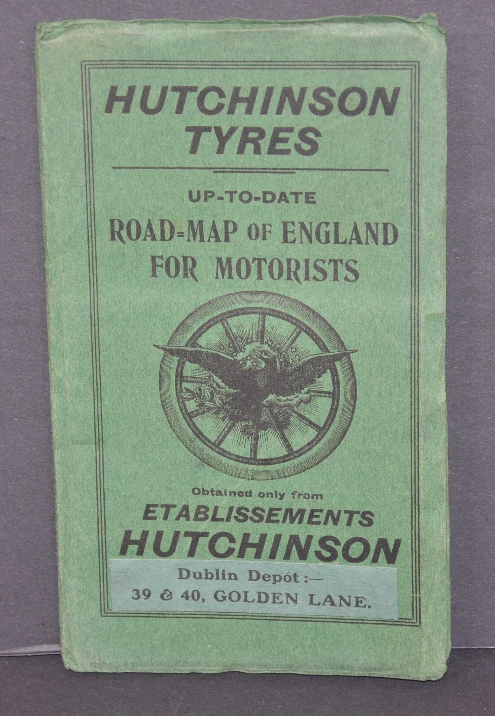
In 1853, Hiram Hutchinson met Charles Goodyear in Paris, where he obtained patents on the process for manufacturing rubber products. After opening a factory about 70 miles south of Paris, the Hutchinson brand grew rapidly and its bicycle and automobile tires were in use throughout Europe by the early 1900s. Advertisements for the firm, still in operation today, can be seen on the covers.
Map Details
Publication Date: c. 1910
Author: The Morgan Reeve Company
Sheet Width (in): 26.5
Sheet Height (in): 33.75
Condition: A-
Condition Description: Pocket map folded into 35 panels and affixed to original green printed paper covers. Creasing and a bit of light toning along fold lines and the outer edges of the sheet. A few small dark circles present rear the bottom, and some light offsetting from the red ink in the title block. Very good overall.
$195.00
1 in stock


