
Humble Road Map of Texas
$145.00
A sharp Depression-era road map of the Lonestar State.
1 in stock

Description
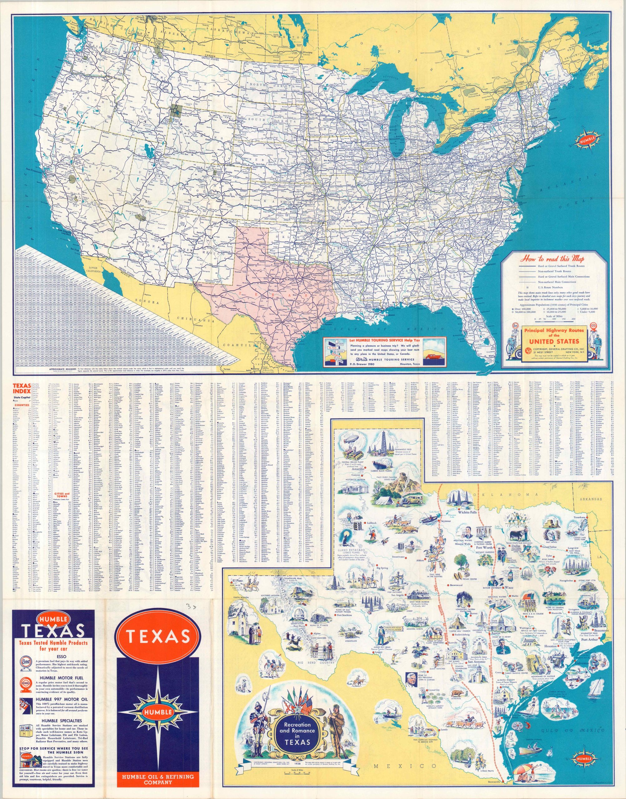
This brightly colored and highly detailed road map of Texas was designed by General Drafting Company, Inc. It was published in 1938 on behalf of the Houston-based Humble Oil Company, part of the early wave of ubiquitous oil maps that would define motor tourism in the second half of the 20th century.
Interstate Highways, organized just over a decade prior, are highlighted in red, while road surfaces are defined by the style of line used to depict the route. The legend, lower right, provides further information. A mileage table, list of radio stations, and promotional text are also presented. The verso of the sheet offers an index of place names, a charming pictorial map (Recreation and Romance in Texas), and an outline of the Principal Highway Routes of the United States.
Map Details
Publication Date: 1938
Author: General Drafting Company, Inc.
Sheet Width (in): 28.00
Sheet Height (in): 21.75
Condition: A
Condition Description: Double-sided road map, sharply creased along original folds. slightly toned around the front cover, but overall in very good to near fine condition.
$145.00
1 in stock