
Hudson’s Map of Minneapolis
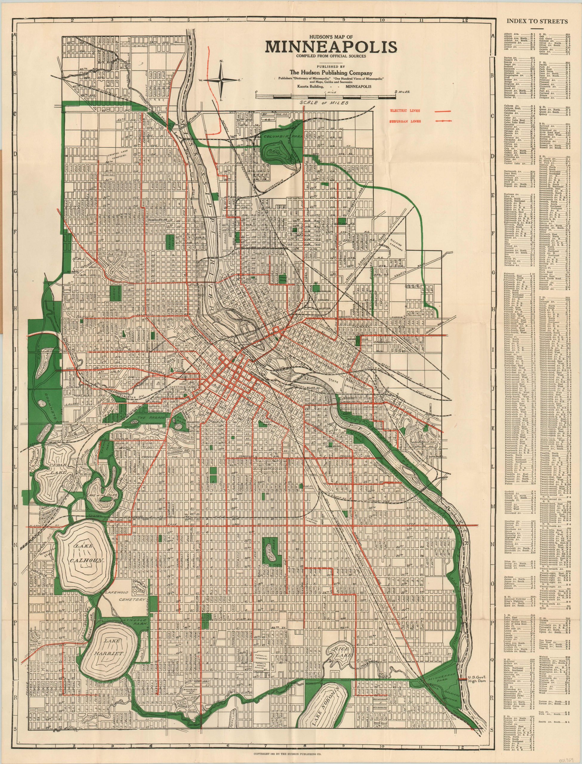
Detailed transportation map of Minneapolis from 1921.
Out of stock

Description
Issued locally in 1921 by the Hudson Publishing Company, this map of Minneapolis highlights the local urban transportation and park systems in bold lithographed colors. The electric and suburban lines serving the city are shown in red while the extensive ring of connected parks, rivers, and lakes are colored in green.
Each entry on the adjacent street index corresponds to a number and letter found on the border surrounding the map. Certainly a map with the local traveler or tourist in mind!
Map Details
Publication Date: 1921
Author: The Hudson Publishing Company
Sheet Width (in): 22
Sheet Height (in): 28.75
Condition: A-
Condition Description: Issued folded into 30 panels and affixed to original brown paper covers. Near fine condition, with only faint creasing along fold lines. Vivid color on a clean sheet.
Out of stock