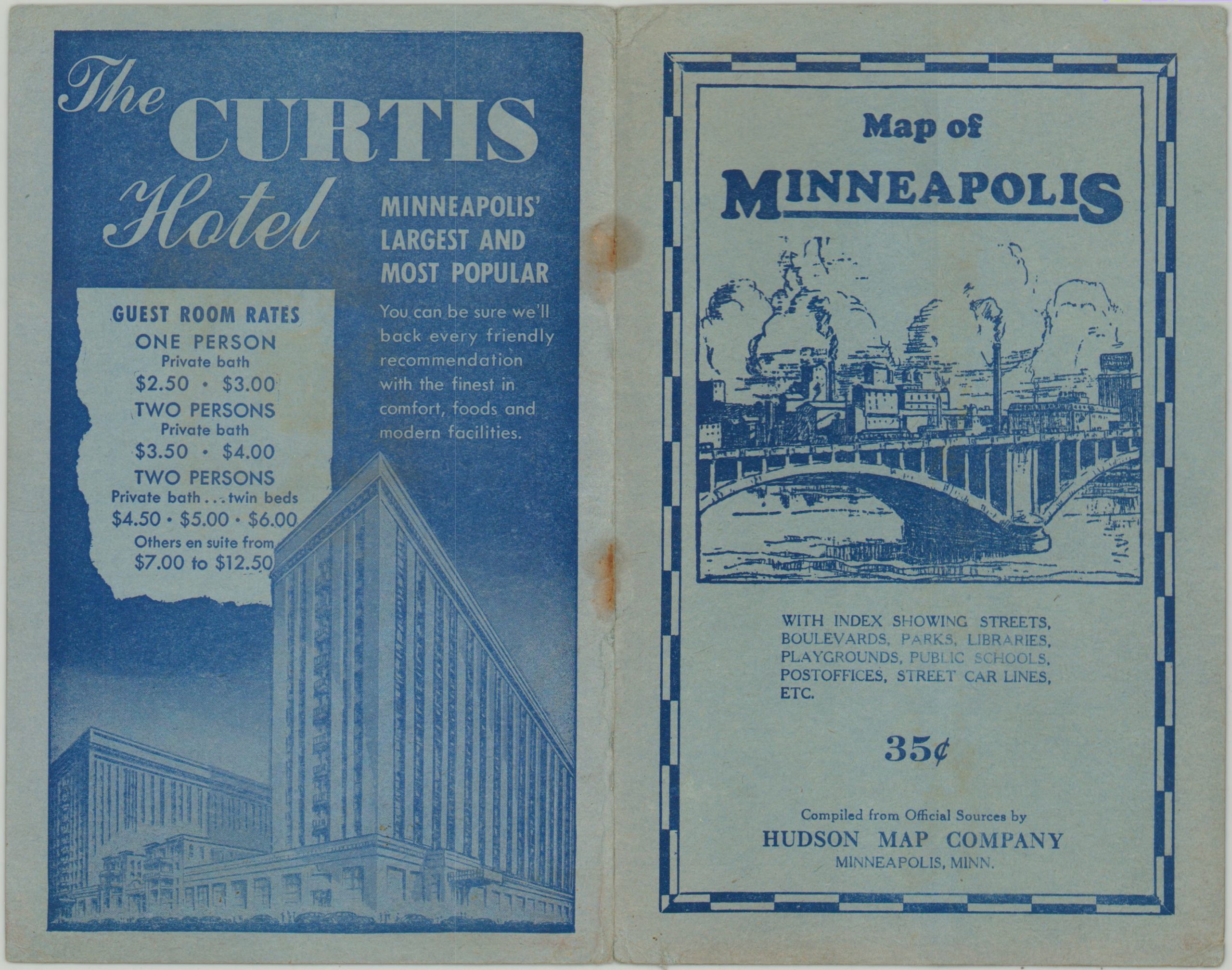
Hudson’s Indexed Map of Minneapolis
$75.00
1930’s pocket map of Minneapolis.
1 in stock

Description
This Depression-era map of Minneapolis (dated using the estimated population and the presence of Patrick Henry Junior High) provides a comprehensive, yet legible, overview of the city. Bright red lines reflect the changing preferences in transportation; as bus routes and state highways compete with streetcars and interurban rail lines.
Even the pedestrian is aided with concentric circles radiating from the city center in one mile increments. Important structures like schools (including the campus of the University of the Minnesota), post offices, landmarks, government buildings, and hospitals are outlined and individually labeled. An index to streets, avenues, parks, libraries, public schools , and post offices is also provided along the right side of the sheet.
The map was published in Minneapolis by the Hudson Publishing Company around 1935.
Map Details
Publication Date: c. 1935
Author: Hudson Map Company
Sheet Width (in): 26
Sheet Height (in): 37
Condition: B+
Condition Description: Circular stains in the upper corners from where the pocket map was formerly adhered to its pictorial paper wrappers. Covers are present and in good condition, but separated. Otherwise just a bit of creasing along fold lines and light wear. Good to very good overall.
$75.00
1 in stock