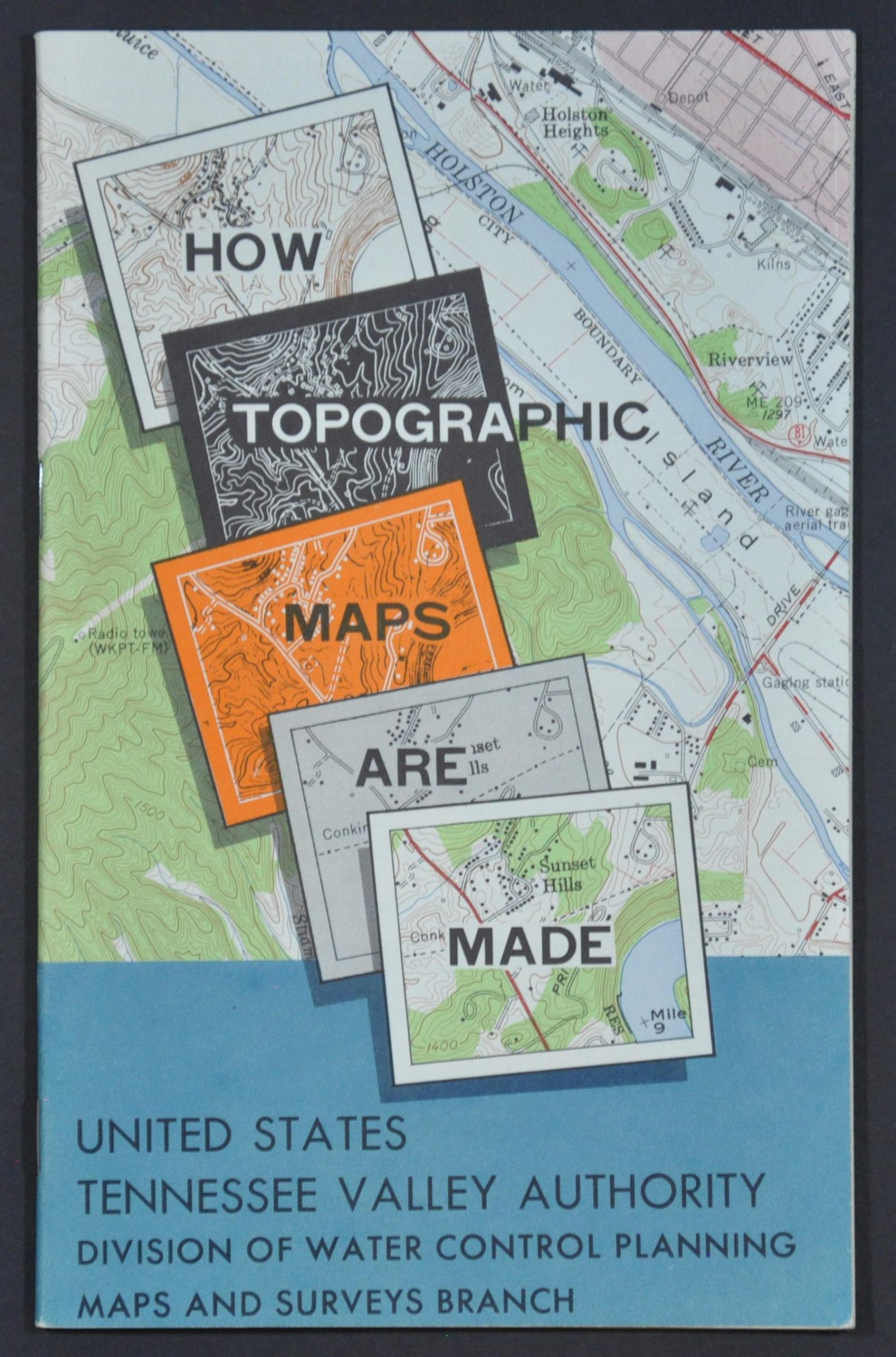
How Topographic Maps are Made
A step-by-step guide to mapmaking by the TVA.
Out of stock
Description
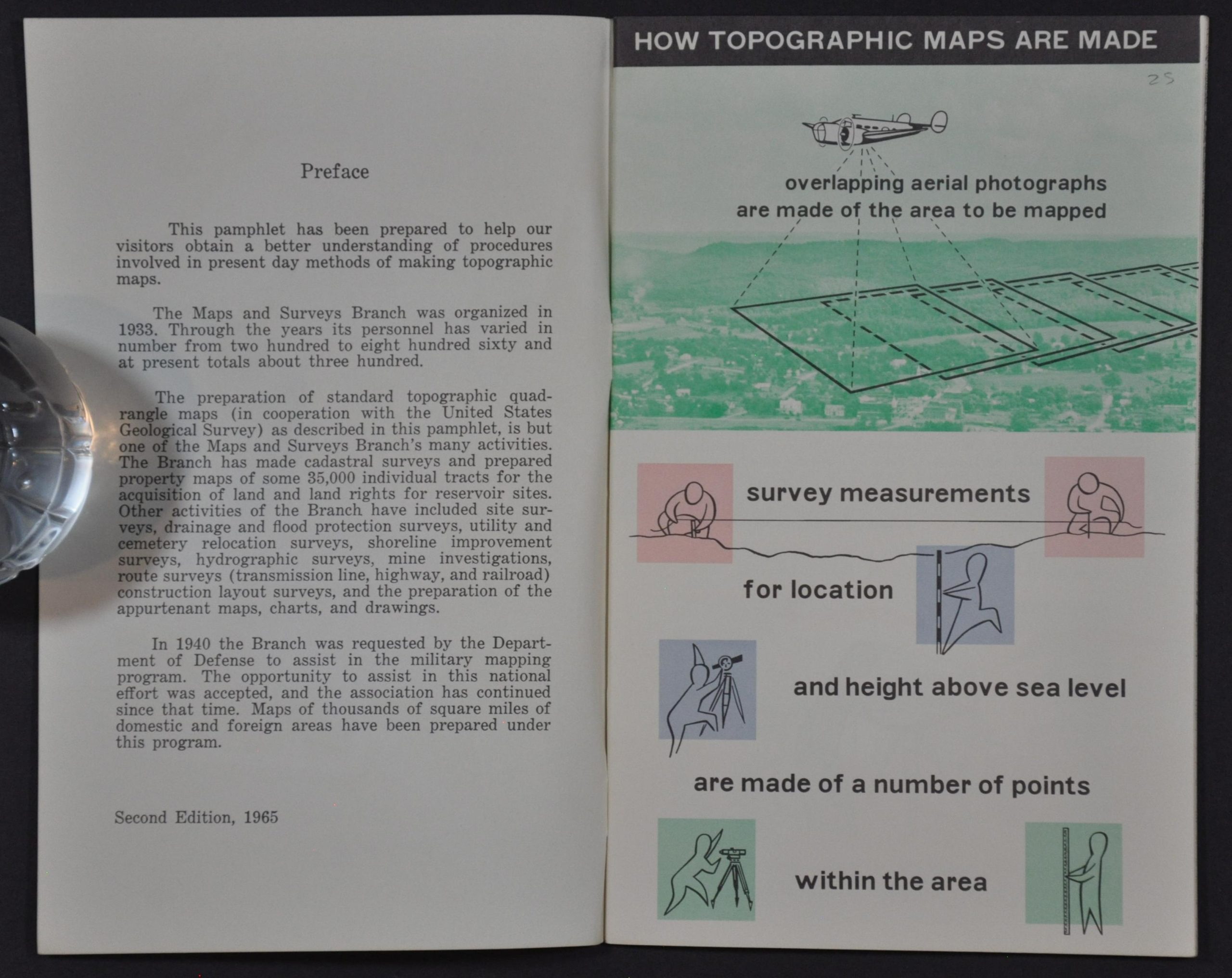
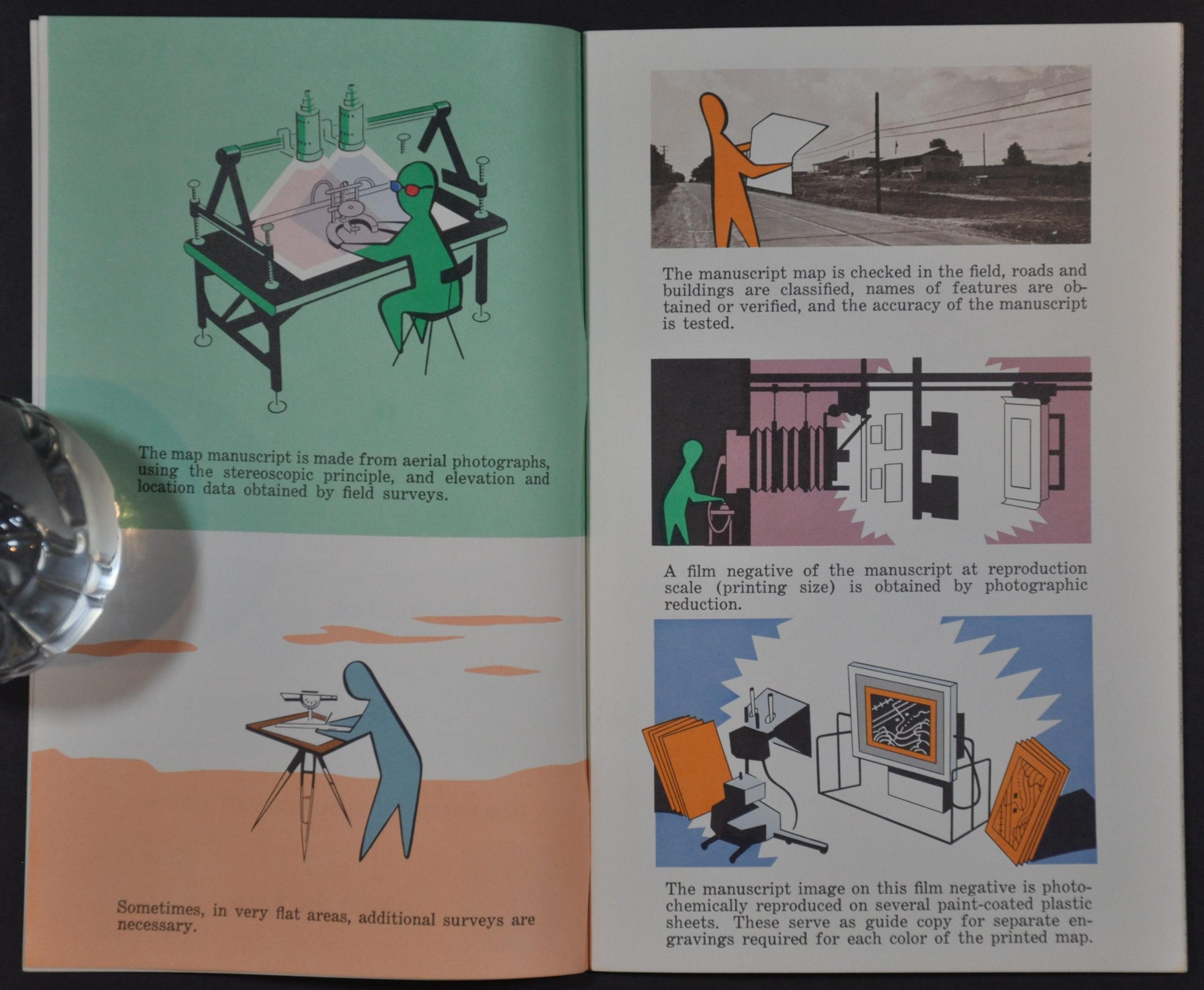
This informative booklet outlines the multi-step process used by the Tennessee Valley Authority to create lithographed topographic maps. Aerial photographs and surveys are combined into a manuscript, which is then photographed in negative. This image is then transferred to several paint-coated plastic sheets from which a proof is created. This proof goes through a final editing phase before the photo-offset plates are made for each map color. Examples for each plate/color are provided – when assembled via a multi-print process, the map is complete.
Map Details
Publication Date: 1965
Author: Tennessee Valley Authority Division of Water Control Planning Maps and Survey Branch
Sheet Width (in): 5
Sheet Height (in): 8
Condition: A
Condition Description: 2nd edition. Unpaginated, but 30 pp. with stapled binding and original illustrated paper wraps. Faint wear on the fore edge. Near fine condition overall.
Out of stock