Hotel Empire, New York
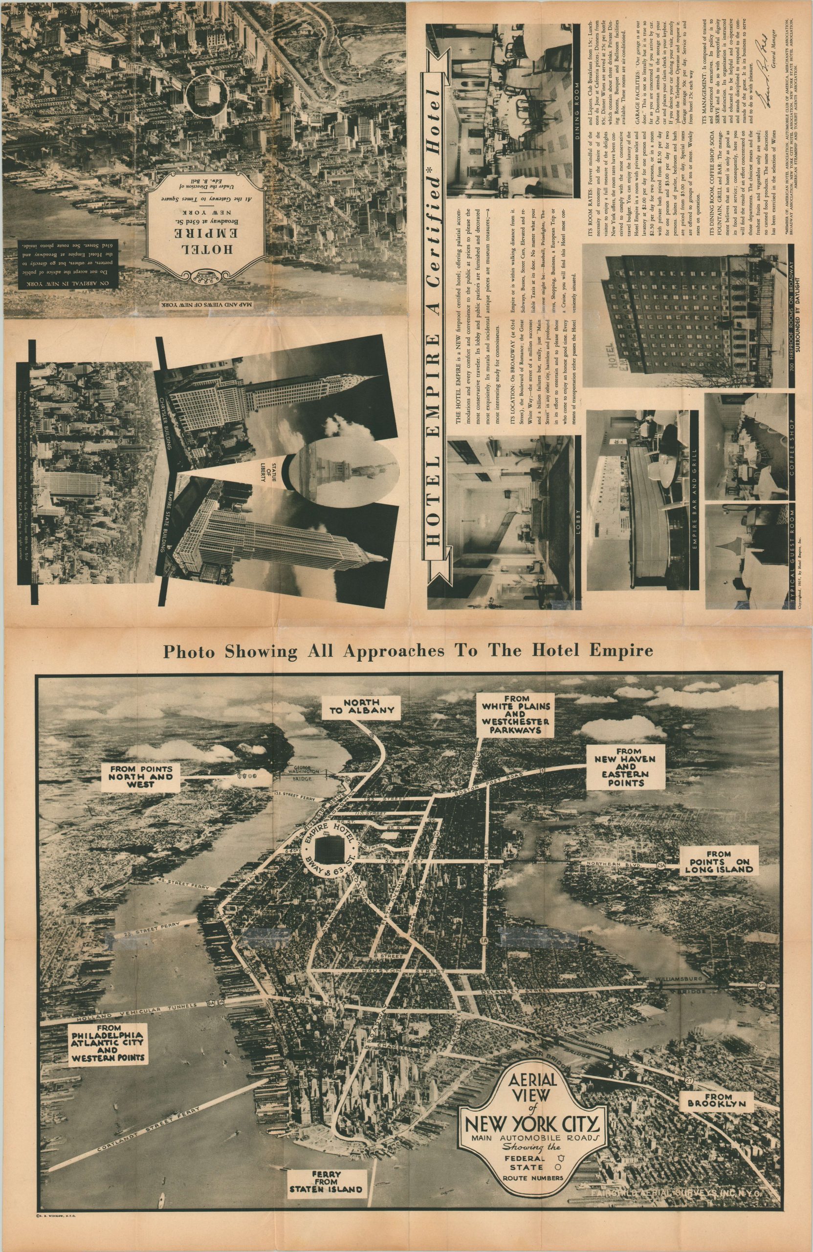
Promotional map and bird’s eye view of New York City from the Great Depression.
Out of stock
Description
This detailed street map of New York City was originally created by George Nostrand and issued by the Hotel Empire in 1935 to advertise its new accommodations in Midtown. The image presents Manhattan Island south of 125th Street and shows the complex system of local transportation routes, comprised of elevated rails, subways, surface cars, railroads, ferries, bus lines, and paved roads. Major attractions and their locations are listed on either side, while the site of the Hotel Empire is featured prominently on the map.
The verso features a stunning aerial photograph of the city and surrounding area, courtesy of Fairchild Aerial Services, Inc. Additional photographs and text praise the hotel and its luxurious amenities and fireproof construction, and warn the intrepid traveler “on arrival in New York, do not accept the advice of public porters, or others, but go directly to the Hotel Empire at Broadway and 63rd Street.”
Map Details
Publication Date: 1935
Author: George Nostrand
Sheet Width (in): 20.75
Sheet Height (in): 31.90
Condition: B+
Condition Description: Originally issued folded into a 24 panel brochure, with moderate discoloration and wear along fold lines. Several separations have been repaired with archival tape, and there is moderate toning visible in the margins (consistent with age). Despite a few issues, this ephemeral map remains in good condition.
Out of stock


