History of the Spanish-American War with Handy Atlas Maps and Full Description of Recently Acquired United States Territory
Forging a global American Empire in the late 19th century
Out of stock


Description
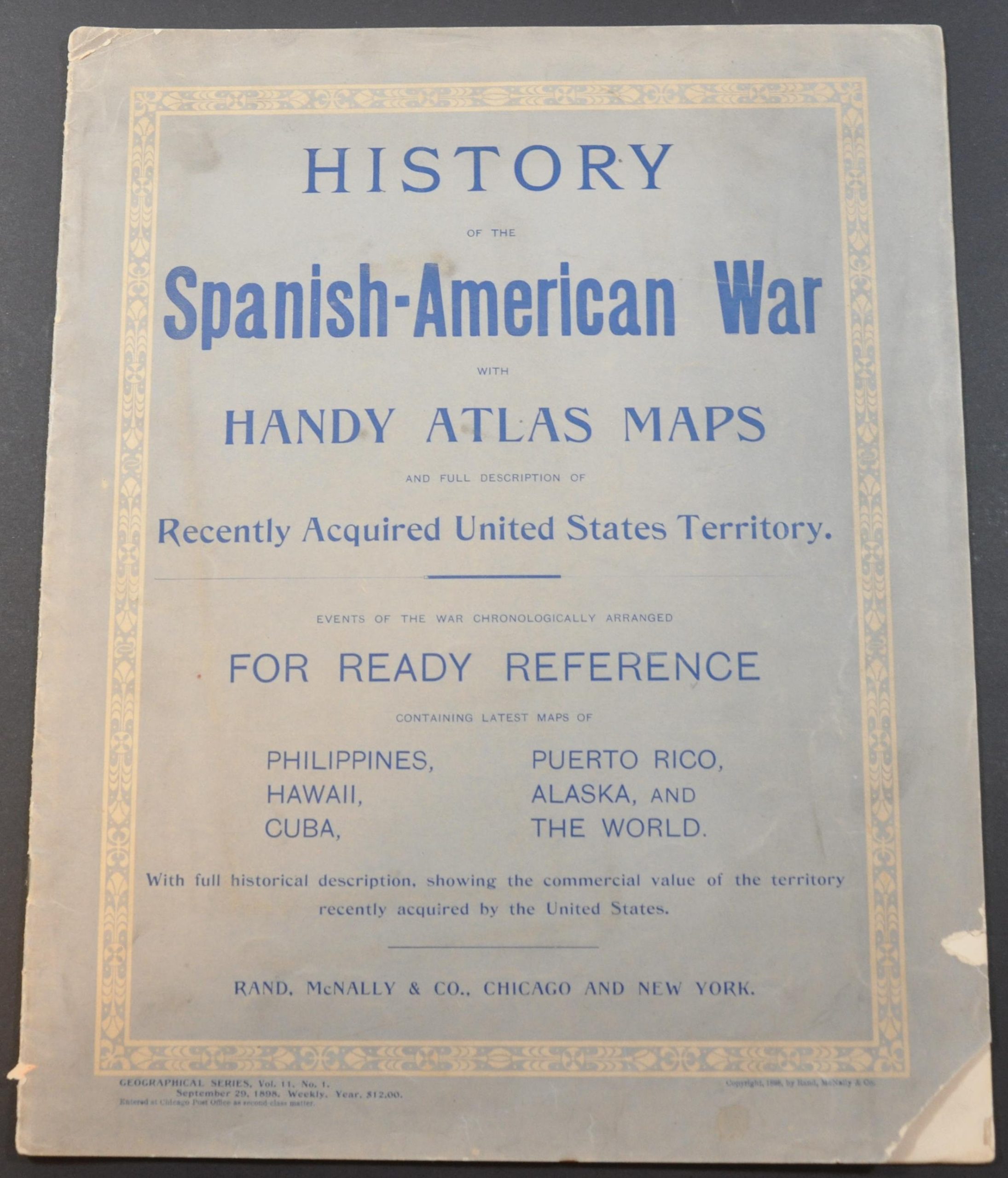
This lithographed atlas was published in Chicago by Rand McNally & Co. in 1898 to commemorate the U.S. victory in the Spanish-American War and to highlight America’s expanding overseas empire. The contents begin with a chronology of events of the conflict, followed by single-page maps of the Philippines, Hawaiian Islands, Greater Antilles, and Peruto Rico.
Historical descriptions accompany each, with a particular emphasis on items of economic importance. Double-page maps of Alaska and the world are also included – the former was in the midst of the Klondike Gold Rush and also of tremendous contemporary public interest. The atlas concludes with portraits of major U.S. officials, including President William McKinley and Colonel of First Volunteer Cavalry Theodore Roosevelt.
Source: Theodore Roosevelt Center;
Map Details
Publication Date: 1898
Author: Rand McNally
Sheet Width (in): 11.25
Sheet Height (in): 14
Condition: A-
Condition Description: 16 pp. color printed atlas with stapled binding and original paper wraps. Covers with a few smudges and minor loss, but contents are very good overall.
Out of stock